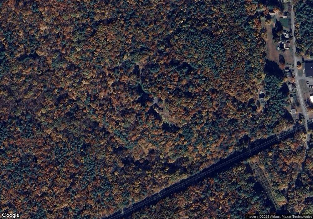
385 Upper Rd Deerfield, MA 01342
Estimated Value: $378,000 - $554,316
2
Beds
2
Baths
1,693
Sq Ft
$266/Sq Ft
Est. Value
About This Home
This home is located at 385 Upper Rd, Deerfield, MA 01342 and is currently estimated at $449,772, approximately $265 per square foot. 385 Upper Rd is a home located in Franklin County with nearby schools including Deerfield Elementary School, Frontier Regional School, and Four Rivers Charter Public School.
Create a Home Valuation Report for This Property
The Home Valuation Report is an in-depth analysis detailing your home's value as well as a comparison with similar homes in the area
Home Values in the Area
Average Home Value in this Area
Tax History
| Year | Tax Paid | Tax Assessment Tax Assessment Total Assessment is a certain percentage of the fair market value that is determined by local assessors to be the total taxable value of land and additions on the property. | Land | Improvement |
|---|---|---|---|---|
| 2025 | $6,398 | $482,876 | $144,676 | $338,200 |
| 2024 | $6,355 | $458,820 | $133,620 | $325,200 |
| 2023 | $6,115 | $408,480 | $108,880 | $299,600 |
| 2022 | $6,072 | $400,264 | $109,564 | $290,700 |
| 2021 | $10 | $390,796 | $110,096 | $280,700 |
| 2020 | $6,050 | $385,596 | $110,096 | $275,500 |
| 2019 | $5,617 | $353,044 | $108,044 | $245,000 |
| 2018 | $5,278 | $330,880 | $103,180 | $227,700 |
| 2017 | $5,129 | $333,040 | $102,040 | $231,000 |
| 2016 | $5,040 | $330,512 | $98,012 | $232,500 |
| 2015 | $4,961 | $332,036 | $97,936 | $234,100 |
Source: Public Records
Map
Nearby Homes
Your Personal Tour Guide
Ask me questions while you tour the home.