38510 9th Ave North Branch, MN 55056
Estimated Value: $326,000 - $350,671
3
Beds
2
Baths
1,142
Sq Ft
$296/Sq Ft
Est. Value
About This Home
This home is located at 38510 9th Ave, North Branch, MN 55056 and is currently estimated at $337,918, approximately $295 per square foot. 38510 9th Ave is a home located in Chisago County with nearby schools including Sunrise River Elementary School, North Branch Middle School, and North Branch Senior High School.
Ownership History
Date
Name
Owned For
Owner Type
Purchase Details
Closed on
Nov 8, 2018
Sold by
Heinzel Charles O and Heinzel Marilyn E
Bought by
Rider David F and Rider Robin L
Current Estimated Value
Home Financials for this Owner
Home Financials are based on the most recent Mortgage that was taken out on this home.
Original Mortgage
$203,250
Outstanding Balance
$179,047
Interest Rate
5.5%
Mortgage Type
FHA
Estimated Equity
$158,871
Purchase Details
Closed on
Dec 1, 1997
Sold by
G & K Development
Bought by
Heinzel Charles O and Heinzel Marilyn E
Purchase Details
Closed on
Oct 2, 1997
Sold by
Gustafson Dennis O and Gustafson Susan J
Bought by
G & K Development
Create a Home Valuation Report for This Property
The Home Valuation Report is an in-depth analysis detailing your home's value as well as a comparison with similar homes in the area
Home Values in the Area
Average Home Value in this Area
Purchase History
| Date | Buyer | Sale Price | Title Company |
|---|---|---|---|
| Rider David F | $207,000 | -- | |
| Heinzel Charles O | $123,020 | -- | |
| G & K Development | $21,500 | -- |
Source: Public Records
Mortgage History
| Date | Status | Borrower | Loan Amount |
|---|---|---|---|
| Open | Rider David F | $203,250 |
Source: Public Records
Tax History Compared to Growth
Tax History
| Year | Tax Paid | Tax Assessment Tax Assessment Total Assessment is a certain percentage of the fair market value that is determined by local assessors to be the total taxable value of land and additions on the property. | Land | Improvement |
|---|---|---|---|---|
| 2024 | $4,004 | $306,400 | $0 | $0 |
| 2023 | $4,004 | $331,700 | $0 | $0 |
| 2022 | $4,016 | $305,800 | $0 | $0 |
| 2021 | $3,716 | $245,200 | $0 | $0 |
| 2020 | $3,652 | $249,900 | $40,000 | $209,900 |
| 2019 | $3,326 | $0 | $0 | $0 |
| 2018 | $3,108 | $0 | $0 | $0 |
| 2017 | $2,624 | $0 | $0 | $0 |
| 2016 | $2,424 | $0 | $0 | $0 |
| 2015 | $2,494 | $0 | $0 | $0 |
| 2014 | -- | $137,500 | $0 | $0 |
Source: Public Records
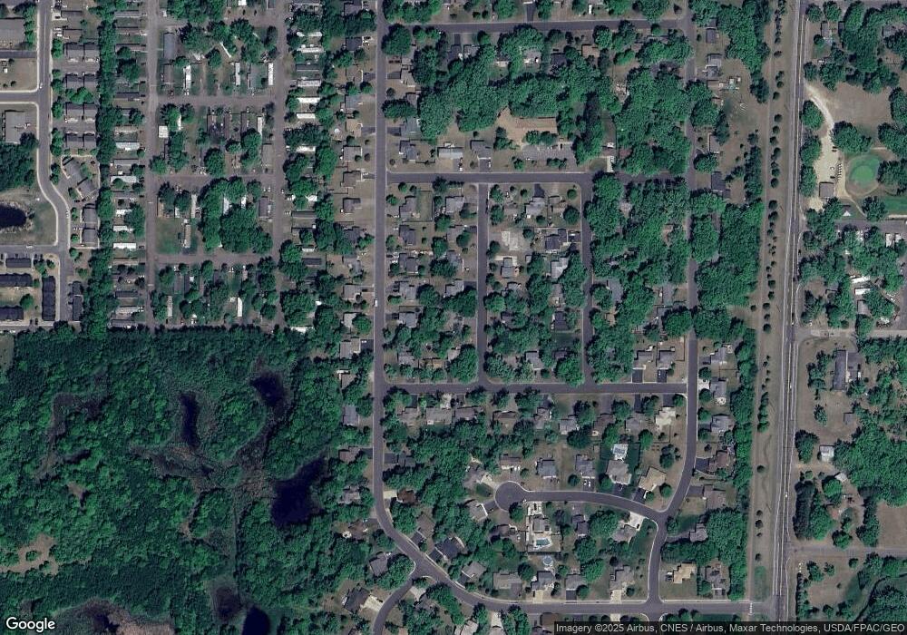
Map
Nearby Homes
- 38470 Glacier Dr
- 38725 12th Ave Unit 83
- 38280 Great Oaks Ct
- 38632 Oakview Ave
- 38xxx Oakview Ave
- XXXXX Maple St
- 38946 7th Ave
- 38558 Grand Ave
- 54xx 386th St
- 38958 Elm Ct
- 5433 389th Trail
- 6944 376th St
- 6231 Red Fox Run
- 38282 Explorer Cir
- XXX Ash St
- 5175 383rd St
- 39183 Grand Ave
- 6640 Granby St
- 5370 391st St
- 5400 391st St