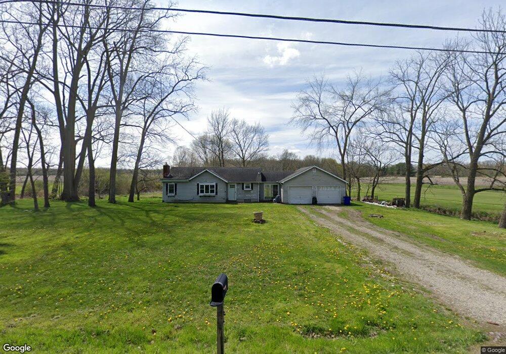
3858 Bower Rd Rootstown, OH 44272
Estimated Value: $154,000 - $211,000
2
Beds
1
Bath
1,052
Sq Ft
$170/Sq Ft
Est. Value
About This Home
This home is located at 3858 Bower Rd, Rootstown, OH 44272 and is currently estimated at $178,679, approximately $169 per square foot. 3858 Bower Rd is a home located in Portage County with nearby schools including Rootstown Middle School - Schnee Building and Rootstown High School.
Ownership History
Date
Name
Owned For
Owner Type
Purchase Details
Closed on
Aug 6, 2007
Sold by
Ward James A and Ward Donna L
Bought by
Ward Michael S
Current Estimated Value
Home Financials for this Owner
Home Financials are based on the most recent Mortgage that was taken out on this home.
Original Mortgage
$110,000
Outstanding Balance
$67,948
Interest Rate
6.73%
Mortgage Type
Purchase Money Mortgage
Estimated Equity
$110,731
Purchase Details
Closed on
Sep 21, 1999
Sold by
Shaffer Midlred L
Bought by
Ward James A and Ward Donna L
Purchase Details
Closed on
Nov 20, 1990
Bought by
Shaffer Monroe
Create a Home Valuation Report for This Property
The Home Valuation Report is an in-depth analysis detailing your home's value as well as a comparison with similar homes in the area
Purchase History
| Date | Buyer | Sale Price | Title Company |
|---|---|---|---|
| Ward Michael S | $110,000 | Portage Path Title Agency | |
| Ward James A | $45,000 | Ohio Title Agency | |
| Shaffer Monroe | -- | -- |
Source: Public Records
Mortgage History
| Date | Status | Borrower | Loan Amount |
|---|---|---|---|
| Open | Ward Michael S | $110,000 |
Source: Public Records
Tax History
| Year | Tax Paid | Tax Assessment Tax Assessment Total Assessment is a certain percentage of the fair market value that is determined by local assessors to be the total taxable value of land and additions on the property. | Land | Improvement |
|---|---|---|---|---|
| 2025 | $1,798 | $42,290 | $10,470 | $31,820 |
| 2024 | $1,729 | $42,290 | $10,470 | $31,820 |
| 2023 | $1,639 | $35,810 | $9,240 | $26,570 |
| 2022 | $1,613 | $35,810 | $9,240 | $26,570 |
| 2021 | $1,607 | $35,810 | $9,240 | $26,570 |
| 2020 | $1,459 | $31,300 | $8,790 | $22,510 |
| 2019 | $1,464 | $31,300 | $8,790 | $22,510 |
| 2018 | $1,410 | $28,600 | $9,350 | $19,250 |
| 2017 | $1,410 | $28,600 | $9,350 | $19,250 |
| 2016 | $1,376 | $28,600 | $9,350 | $19,250 |
| 2015 | $1,392 | $28,600 | $9,350 | $19,250 |
| 2014 | $1,418 | $28,600 | $9,350 | $19,250 |
| 2013 | $1,408 | $28,600 | $9,350 | $19,250 |
Source: Public Records
Map
Nearby Homes
- 3701 State Route 44
- 3689 Cherry Hill
- 3637 Old Forge Rd
- 4079 Siefer Dr
- 3021 Hartville Rd
- V/L 2 Lynn Rd
- V/L Lynn Rd
- 3981 March Creek Ln Unit 37
- 4556 Rootstown Rd
- 3080 Saxe Rd
- 4415 Farmette Dr
- 4200 Hattrick Rd
- sub lot Lane Ave
- 4140 Sandy Lake Rd
- 4184 Hunters Ridge Dr
- 3583 Randolph Rd
- 2978 Sandy Lake Rd
- 4958 Bassett Rd
- 2326 Orchard Cir
- 2277 Orchard Cir
Your Personal Tour Guide
Ask me questions while you tour the home.