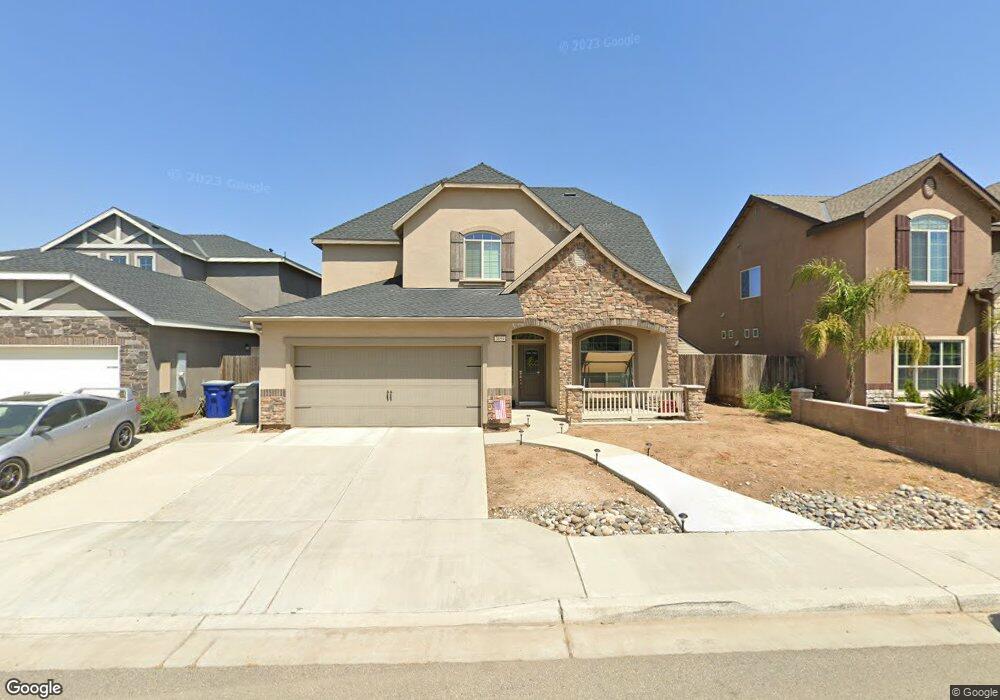
3859 Duncan Ave Unit 49 Clovis, CA 93619
Estimated Value: $538,357 - $564,000
4
Beds
3
Baths
2,244
Sq Ft
$245/Sq Ft
Est. Value
About This Home
This home is located at 3859 Duncan Ave Unit 49, Clovis, CA 93619 and is currently estimated at $549,119, approximately $244 per square foot. 3859 Duncan Ave Unit 49 is a home located in Fresno County with nearby schools including Reagan Elementary School, Reyburn Intermediate School, and Clovis East High School.
Ownership History
Date
Name
Owned For
Owner Type
Purchase Details
Closed on
Oct 11, 2016
Sold by
Allard Errol and Allard Andrea
Bought by
Hillman Paul and Hillman Trista A
Current Estimated Value
Home Financials for this Owner
Home Financials are based on the most recent Mortgage that was taken out on this home.
Original Mortgage
$325,347
Outstanding Balance
$261,157
Interest Rate
3.5%
Mortgage Type
VA
Estimated Equity
$287,962
Purchase Details
Closed on
Nov 10, 2015
Sold by
Lennar Fresno Inc
Bought by
Allard Errol J and Allard Andrea A
Home Financials for this Owner
Home Financials are based on the most recent Mortgage that was taken out on this home.
Original Mortgage
$266,050
Interest Rate
3.71%
Mortgage Type
New Conventional
Create a Home Valuation Report for This Property
The Home Valuation Report is an in-depth analysis detailing your home's value as well as a comparison with similar homes in the area
Purchase History
| Date | Buyer | Sale Price | Title Company |
|---|---|---|---|
| Hillman Paul | $318,500 | Old Republic Title Company | |
| Allard Errol J | $313,000 | North American Title Company |
Source: Public Records
Mortgage History
| Date | Status | Borrower | Loan Amount |
|---|---|---|---|
| Open | Hillman Paul | $325,347 | |
| Previous Owner | Allard Errol J | $266,050 |
Source: Public Records
Tax History
| Year | Tax Paid | Tax Assessment Tax Assessment Total Assessment is a certain percentage of the fair market value that is determined by local assessors to be the total taxable value of land and additions on the property. | Land | Improvement |
|---|---|---|---|---|
| 2025 | $5,022 | $369,639 | $92,843 | $276,796 |
| 2023 | $4,833 | $355,288 | $89,239 | $266,049 |
| 2022 | $4,768 | $348,323 | $87,490 | $260,833 |
| 2021 | $4,645 | $341,494 | $85,775 | $255,719 |
| 2020 | $4,624 | $337,993 | $84,896 | $253,097 |
| 2019 | $4,534 | $331,367 | $83,232 | $248,135 |
| 2018 | $4,425 | $324,870 | $81,600 | $243,270 |
| 2017 | $4,353 | $318,500 | $80,000 | $238,500 |
| 2016 | $3,786 | $313,000 | $80,000 | $233,000 |
Source: Public Records
Map
Nearby Homes
- 2040 Descanso Ave
- 2148 La Canada Ave
- 2451 Hermosa Ave
- 4161 Alamos Ave
- 4158 Duncan Ave
- 1811 Agua Dulce Ave
- 3742 Longford Way
- 3780 Highclere Way
- 2424 Las Rosas Ave
- 1667 Las Rosas Ave
- 4103 Keats Ave
- 4187 Poe Ave
- 4234 Alamos Ave
- 4245 Fairmont Ave
- 2625 Las Rosas Ave
- 4080 San Jose Ave
- 4172 Rialto Ave
- 2715 Las Rosas Ave
- 2468 Montana Ave
- 1528 Lambourn Way
- 3859 Duncan Ave
- 3867 Duncan Ave #48
- 3867 Duncan Ave
- 3851 Duncan Ave Unit 50
- 3875 Duncan Ave
- 3856 Fairmont Ave Unit 46
- 3843 Duncan Ave
- 3864 Fairmont Ave
- 3848 Fairmont Ave Unit 45
- 3848 Fairmont Ave
- 3872 Fairmont Ave
- 3840 Fairmont Ave
- 3883 Duncan Ave
- 3835 Duncan Ave Unit 52
- 3858 Duncan Ave Unit 64
- 3858 Duncan Ave
- 3866 Duncan Ave
- 3850 Duncan Ave
- 3874 Duncan Ave
- 3880 Fairmont Ave
Your Personal Tour Guide
Ask me questions while you tour the home.