386 Center Point Dr Montezuma, IA 50171
Estimated Value: $471,097 - $668,000
--
Bed
2
Baths
1,421
Sq Ft
$420/Sq Ft
Est. Value
About This Home
This home is located at 386 Center Point Dr, Montezuma, IA 50171 and is currently estimated at $596,274, approximately $419 per square foot. 386 Center Point Dr is a home located in Poweshiek County with nearby schools including Montezuma Elementary School and Montezuma Junior High School.
Ownership History
Date
Name
Owned For
Owner Type
Purchase Details
Closed on
Jul 27, 2024
Sold by
Ahrens Joan Marie
Bought by
Joan Marie Ahrens Revocable Trust and Ahrens
Current Estimated Value
Purchase Details
Closed on
Dec 20, 2021
Sold by
Silverado Llp
Bought by
Ahrens John D
Purchase Details
Closed on
Feb 16, 2007
Sold by
Ahrens Luverne E
Bought by
Ahrens John G and Ahrens William W
Create a Home Valuation Report for This Property
The Home Valuation Report is an in-depth analysis detailing your home's value as well as a comparison with similar homes in the area
Home Values in the Area
Average Home Value in this Area
Purchase History
| Date | Buyer | Sale Price | Title Company |
|---|---|---|---|
| Joan Marie Ahrens Revocable Trust | -- | None Listed On Document | |
| Ahrens John D | $7,500 | Mahaffey Michael W | |
| Ahrens John G | -- | None Available |
Source: Public Records
Tax History Compared to Growth
Tax History
| Year | Tax Paid | Tax Assessment Tax Assessment Total Assessment is a certain percentage of the fair market value that is determined by local assessors to be the total taxable value of land and additions on the property. | Land | Improvement |
|---|---|---|---|---|
| 2025 | $4,248 | $499,860 | $369,630 | $130,230 |
| 2024 | $4,408 | $437,350 | $318,650 | $118,700 |
| 2023 | $3,996 | $437,350 | $318,650 | $118,700 |
| 2022 | $4,028 | $332,230 | $241,260 | $90,970 |
| 2021 | $4,028 | $313,420 | $227,600 | $85,820 |
| 2020 | $3,438 | $264,730 | $191,260 | $73,470 |
| 2019 | $3,064 | $264,730 | $191,260 | $73,470 |
| 2018 | $3,026 | $228,660 | $159,380 | $69,280 |
| 2017 | $2,728 | $228,660 | $159,380 | $69,280 |
| 2016 | $2,688 | $214,770 | $145,820 | $68,950 |
| 2015 | $2,688 | $214,770 | $145,820 | $68,950 |
| 2014 | $2,512 | $203,350 | $134,400 | $68,950 |
Source: Public Records
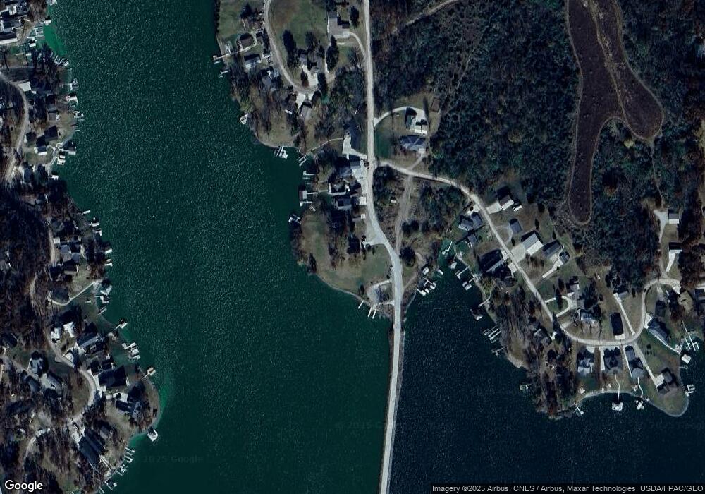
Map
Nearby Homes
- 146 Scenic Dr
- 147 Hillcrest Ridge
- 251 Whippoorwill Rd
- 103 S Shore Dr
- 312 Center Point Dr
- 110 Cottage Ln
- 106 110 Orchard Rd
- 161 Hillcrest Ridge
- 148 Valley Rd
- 276 Center Point Dr
- 171 Valley Rd
- 103 Elm Rd
- 207 Cottage Ln
- 226 & 228 Center Point Dr
- 212 Cottage Ln
- 4854 103rd St
- 169 Woodland Rd Unit 21 Lot 11
- 255 Eastside Ln
- 101 Canyon Rd
- 199 Eastside Ln
- 384 Center Point Dr
- 382 Center Point Dr
- 106 Hillcrest Ridge
- 104 Hillcrest
- 000 Hillcrest Ridge St
- 380 Center Point Dr
- 110 Hillcrest Ridge
- 102 Hillcrest
- 108 Hillcrest Ridge
- 103 Hillcrest
- 378 Center Point Dr
- 101 Hillcrest Ridge
- 122 Hillcrest Ridge
- 117 Hillcrest
- 374 Center Point Dr
- 115 Hillcrest Ridge
- 373 Center Point Dr
- 126 Hillcrest Ridge
- 148 Scenic Dr
- 127 Hillcrest Ridge