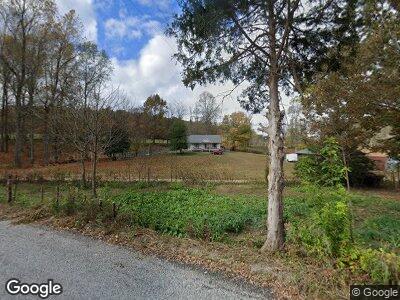
386 Mcdonald Chapel Rd Monroe, TN 38573
Estimated Value: $341,000 - $425,814
--
Bed
1
Bath
1,509
Sq Ft
$262/Sq Ft
Est. Value
About This Home
This home is located at 386 Mcdonald Chapel Rd, Monroe, TN 38573 and is currently estimated at $394,938, approximately $261 per square foot. 386 Mcdonald Chapel Rd is a home located in Overton County.
Ownership History
Date
Name
Owned For
Owner Type
Purchase Details
Closed on
Apr 27, 1994
Bought by
Smith Ada Kathern
Current Estimated Value
Purchase Details
Closed on
Jun 15, 1946
Bought by
Smith Frank
Create a Home Valuation Report for This Property
The Home Valuation Report is an in-depth analysis detailing your home's value as well as a comparison with similar homes in the area
Home Values in the Area
Average Home Value in this Area
Purchase History
| Date | Buyer | Sale Price | Title Company |
|---|---|---|---|
| Smith Ada Kathern | -- | -- | |
| Smith Frank | -- | -- |
Source: Public Records
Mortgage History
| Date | Status | Borrower | Loan Amount |
|---|---|---|---|
| Open | Smith Allen Eugene | $125,000 | |
| Closed | Smith Allen Eugene | $45,000 | |
| Closed | Smith Allen Eugene | $65,000 | |
| Closed | Smith Ada Kathern | $51,225 |
Source: Public Records
Tax History Compared to Growth
Tax History
| Year | Tax Paid | Tax Assessment Tax Assessment Total Assessment is a certain percentage of the fair market value that is determined by local assessors to be the total taxable value of land and additions on the property. | Land | Improvement |
|---|---|---|---|---|
| 2024 | $1,143 | $50,825 | $19,575 | $31,250 |
| 2023 | $1,002 | $50,825 | $19,575 | $31,250 |
| 2022 | $1,002 | $50,825 | $19,575 | $31,250 |
| 2021 | $1,002 | $50,825 | $19,575 | $31,250 |
| 2020 | $1,002 | $50,825 | $19,575 | $31,250 |
| 2019 | $1,002 | $44,550 | $16,125 | $28,425 |
| 2018 | $1,002 | $44,550 | $16,125 | $28,425 |
| 2017 | $1,002 | $44,550 | $16,125 | $28,425 |
| 2016 | $1,002 | $44,550 | $16,125 | $28,425 |
| 2015 | $887 | $44,550 | $16,125 | $28,425 |
| 2014 | -- | $48,025 | $16,125 | $31,900 |
| 2013 | -- | $46,100 | $0 | $0 |
Source: Public Records
Map
Nearby Homes
- 171 Deer Cliff Ln
- 1100 Eastport Dock Rd
- 7125 Bolestown Rd
- 118 Summer Ln
- 42 ac Jamestown Hwy
- 0 Jamestown Hwy Unit RTC2887853
- Lot 9 Livingston Hwy
- 0 Bolestown Loop
- 0 Bolestown Loop
- 00 Bolestown Loop
- 108 Ferrell Rd
- 985 Beaty Swamp Rd
- 2061 Bolestown Loop
- 2059 Bolestown Loop
- 120 Dove Ln
- 434 Monroe Branch Ln
- Lot 11 Big Hollow Rd
- 400 Sabre Park Rd
- 5735 E East Port Rd
- 386 Mcdonald Chapel Rd
- 389 Mcdonald Chapel Rd
- 335 Mcdonald Chapel Rd
- 269 Mcdonald Chapel Rd
- 527 Joe May Speck Rd
- 250 Mcdonald Chapel Rd
- 237 Lands Smith Rd
- 202 Lands Smith Rd
- 707 Dogwalk Rd
- 151 Gib Young Ln
- 102 Padgett Ln
- 450 Dogwalk Rd
- 360 Eastport Dock Rd
- 105 Padgett Ln
- 380 Eastport Dock Rd
- 408 Dogwalk Rd
- 348 Eastport Dock Rd
- 140 Padgett Ln
- 395 Eastport Dock Rd