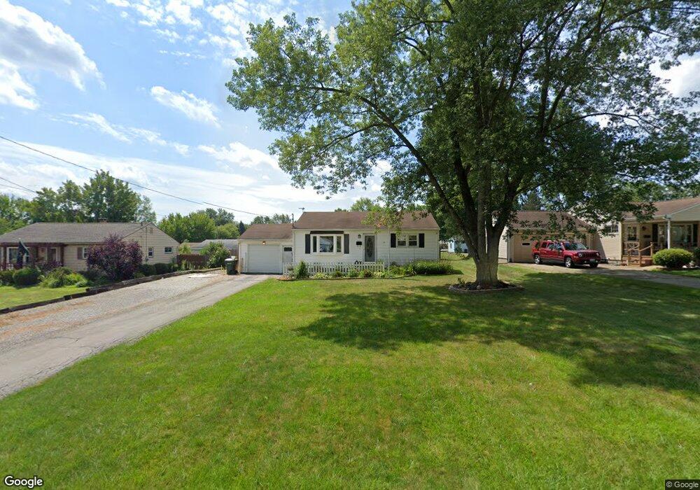
3861 Cannon Rd Youngstown, OH 44515
Austintown NeighborhoodEstimated Value: $141,366 - $174,000
3
Beds
1
Bath
982
Sq Ft
$160/Sq Ft
Est. Value
About This Home
This home is located at 3861 Cannon Rd, Youngstown, OH 44515 and is currently estimated at $157,342, approximately $160 per square foot. 3861 Cannon Rd is a home located in Mahoning County with nearby schools including Austintown Elementary School, Austintown Intermediate School, and Austintown Middle School.
Ownership History
Date
Name
Owned For
Owner Type
Purchase Details
Closed on
Sep 23, 2008
Sold by
Reynolds William H and Frank Nancy
Bought by
Danko Sheila L
Current Estimated Value
Home Financials for this Owner
Home Financials are based on the most recent Mortgage that was taken out on this home.
Original Mortgage
$75,010
Outstanding Balance
$50,011
Interest Rate
6.57%
Mortgage Type
FHA
Estimated Equity
$107,331
Purchase Details
Closed on
Nov 6, 1992
Bought by
Pachell Eloise M
Create a Home Valuation Report for This Property
The Home Valuation Report is an in-depth analysis detailing your home's value as well as a comparison with similar homes in the area
Home Values in the Area
Average Home Value in this Area
Purchase History
| Date | Buyer | Sale Price | Title Company |
|---|---|---|---|
| Danko Sheila L | $76,000 | Attorney | |
| Pachell Eloise M | -- | -- |
Source: Public Records
Mortgage History
| Date | Status | Borrower | Loan Amount |
|---|---|---|---|
| Open | Danko Sheila L | $75,010 |
Source: Public Records
Tax History Compared to Growth
Tax History
| Year | Tax Paid | Tax Assessment Tax Assessment Total Assessment is a certain percentage of the fair market value that is determined by local assessors to be the total taxable value of land and additions on the property. | Land | Improvement |
|---|---|---|---|---|
| 2024 | $1,510 | $32,660 | $5,780 | $26,880 |
| 2023 | $1,483 | $32,660 | $5,780 | $26,880 |
| 2022 | $1,337 | $23,600 | $5,430 | $18,170 |
| 2021 | $1,338 | $23,600 | $5,430 | $18,170 |
| 2020 | $1,343 | $23,600 | $5,430 | $18,170 |
| 2019 | $1,327 | $21,080 | $4,850 | $16,230 |
| 2018 | $1,278 | $21,080 | $4,850 | $16,230 |
| 2017 | $1,363 | $21,080 | $4,850 | $16,230 |
| 2016 | $1,460 | $24,100 | $6,350 | $17,750 |
| 2015 | $1,416 | $24,100 | $6,350 | $17,750 |
| 2014 | $1,422 | $24,100 | $6,350 | $17,750 |
| 2013 | $1,406 | $24,100 | $6,350 | $17,750 |
Source: Public Records
Map
Nearby Homes
- 3890 Ayrshire Dr
- 3852 Edinburgh Dr
- 1560 S Meridian Rd
- 3972 Artmar Dr
- 4102 Burkey Rd
- 3913 Claridge Dr
- 4235 Patricia Ave
- 3210 Quentin Dr
- 532 Westgate Blvd
- 2430 Redgate Ln
- 4262 Pembrook Rd
- 4241 Wedgewood Dr
- 2108 Cranbrook Dr
- 3811 Artmar Dr
- 4234 Burkey Rd
- 2992 Eldora Dr
- 2500 Redgate Ln
- 653 S Meridian Rd
- 4289 Wedgewood Dr
- 565 S Meridian Rd