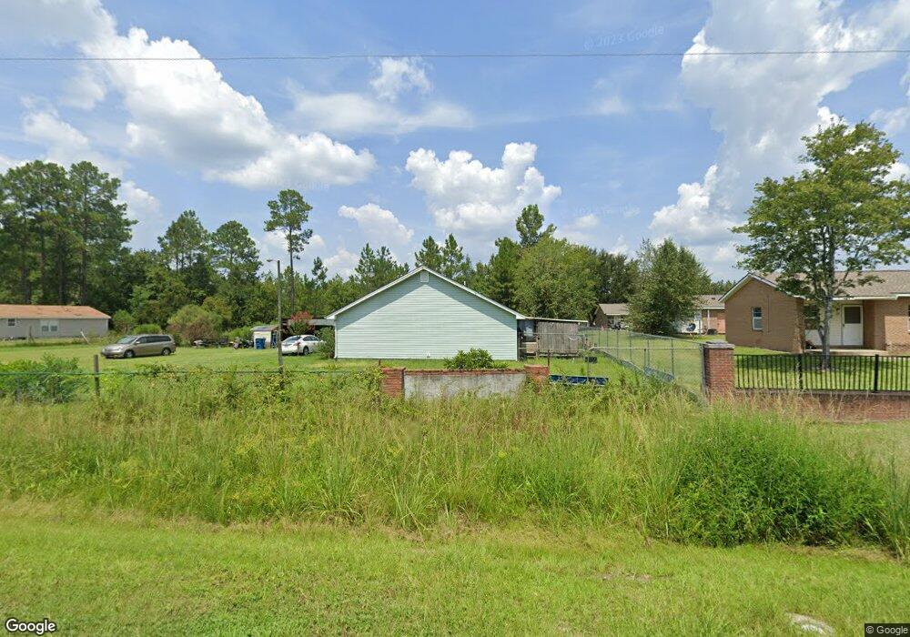
387 Burton St Unit 1 & 2 Nahunta, GA 31553
Estimated Value: $131,000 - $323,000
4
Beds
2
Baths
1,726
Sq Ft
$121/Sq Ft
Est. Value
About This Home
This home is located at 387 Burton St Unit 1 & 2, Nahunta, GA 31553 and is currently estimated at $209,307, approximately $121 per square foot. 387 Burton St Unit 1 & 2 is a home located in Brantley County with nearby schools including Nahunta Primary School, Nahunta Elementary School, and Brantley County Middle School.
Ownership History
Date
Name
Owned For
Owner Type
Purchase Details
Closed on
Mar 22, 2017
Sold by
Kowalski Edward
Bought by
Matos Jesus Angel and Matos Golda Abigail
Current Estimated Value
Purchase Details
Closed on
Jun 29, 2015
Sold by
Five Star Cr Un
Bought by
Kowalski Edward
Purchase Details
Closed on
Jul 11, 2012
Sold by
Roberson Cynthia
Bought by
Saddle Ridge Holdings Llc
Home Financials for this Owner
Home Financials are based on the most recent Mortgage that was taken out on this home.
Original Mortgage
$48,000
Interest Rate
3.72%
Mortgage Type
New Conventional
Create a Home Valuation Report for This Property
The Home Valuation Report is an in-depth analysis detailing your home's value as well as a comparison with similar homes in the area
Home Values in the Area
Average Home Value in this Area
Purchase History
| Date | Buyer | Sale Price | Title Company |
|---|---|---|---|
| Matos Jesus Angel | $78,000 | -- | |
| Kowalski Edward | $45,000 | -- | |
| Saddle Ridge Holdings Llc | $28,000 | -- |
Source: Public Records
Mortgage History
| Date | Status | Borrower | Loan Amount |
|---|---|---|---|
| Previous Owner | Saddle Ridge Holdings Llc | $48,000 |
Source: Public Records
Tax History Compared to Growth
Tax History
| Year | Tax Paid | Tax Assessment Tax Assessment Total Assessment is a certain percentage of the fair market value that is determined by local assessors to be the total taxable value of land and additions on the property. | Land | Improvement |
|---|---|---|---|---|
| 2024 | $2,309 | $68,557 | $2,864 | $65,693 |
| 2023 | $1,057 | $66,921 | $1,228 | $65,693 |
| 2022 | $1,805 | $66,921 | $1,228 | $65,693 |
| 2021 | $1,545 | $41,516 | $1,228 | $40,288 |
| 2020 | $1,550 | $41,516 | $1,228 | $40,288 |
| 2019 | $1,473 | $39,363 | $1,228 | $38,135 |
| 2018 | $1,899 | $39,845 | $1,710 | $38,135 |
| 2017 | $1,899 | $39,845 | $1,710 | $38,135 |
| 2016 | $974 | $20,082 | $1,710 | $18,372 |
| 2015 | -- | $20,082 | $1,710 | $18,372 |
Source: Public Records
Map
Nearby Homes
- 584 Knox St
- 20.55 ACRES U S Highway 82
- 97 Kyody Trail
- 105 Crawford Rd
- 7126 U S 301
- 29 Chisholm St
- 4432 Pembers Rd
- 4452 Pembers Rd
- 3362 Seed Orchard Rd
- 0-0 Foxwood Rd
- 0 Foxwood Rd
- 0 Woodrow Ln
- 46 Christopher Cir
- 14375 Hwy 301 N
- 13929 Raybon Rd E
- 133 Stalkhill Rd
- 91 Cane Cir
- 23715 Knox Rd
- 181 Ham Rd
- 0 Caney Bay Rd