387 Perch Pond Rd Campton, NH 03223
Estimated Value: $339,000 - $478,443
2
Beds
2
Baths
1,233
Sq Ft
$324/Sq Ft
Est. Value
About This Home
This home is located at 387 Perch Pond Rd, Campton, NH 03223 and is currently estimated at $399,111, approximately $323 per square foot. 387 Perch Pond Rd is a home with nearby schools including Campton Elementary School and Plymouth Regional High School.
Ownership History
Date
Name
Owned For
Owner Type
Purchase Details
Closed on
Sep 11, 2002
Sold by
Shaughnessy Stephen and Shaughnessy Janice L
Bought by
Keith David B and Keith Suzanne Marie
Current Estimated Value
Home Financials for this Owner
Home Financials are based on the most recent Mortgage that was taken out on this home.
Original Mortgage
$135,000
Interest Rate
6.48%
Create a Home Valuation Report for This Property
The Home Valuation Report is an in-depth analysis detailing your home's value as well as a comparison with similar homes in the area
Home Values in the Area
Average Home Value in this Area
Purchase History
| Date | Buyer | Sale Price | Title Company |
|---|---|---|---|
| Keith David B | $135,000 | -- |
Source: Public Records
Mortgage History
| Date | Status | Borrower | Loan Amount |
|---|---|---|---|
| Open | Keith David B | $166,800 | |
| Closed | Keith David B | $165,000 | |
| Closed | Keith David B | $135,000 |
Source: Public Records
Tax History Compared to Growth
Tax History
| Year | Tax Paid | Tax Assessment Tax Assessment Total Assessment is a certain percentage of the fair market value that is determined by local assessors to be the total taxable value of land and additions on the property. | Land | Improvement |
|---|---|---|---|---|
| 2024 | $5,949 | $345,461 | $120,361 | $225,100 |
| 2023 | $5,704 | $198,249 | $64,549 | $133,700 |
| 2022 | $5,016 | $198,499 | $64,799 | $133,700 |
| 2021 | $4,966 | $198,883 | $65,183 | $133,700 |
| 2020 | $4,828 | $198,913 | $65,213 | $133,700 |
| 2019 | $4,617 | $198,913 | $65,213 | $133,700 |
| 2018 | $4,311 | $168,850 | $51,850 | $117,000 |
| 2017 | $4,184 | $168,725 | $51,725 | $117,000 |
| 2016 | $4,028 | $168,592 | $51,592 | $117,000 |
| 2015 | $3,862 | $168,592 | $51,592 | $117,000 |
| 2014 | $3,955 | $168,594 | $51,594 | $117,000 |
| 2013 | $3,483 | $174,213 | $53,813 | $120,400 |
Source: Public Records
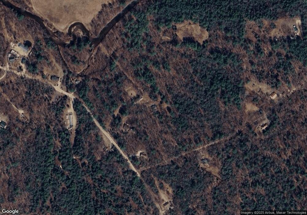
Map
Nearby Homes
- 8 Avery Rd
- Lot 15 Kelly Way
- 30 Partridge Knoll Rd
- 10-6 Page Rd
- 7 Perch Pond Rd
- NH New Hampshire Route 175
- 104 Champagne Cir
- 5 Rosy Ln
- 22 Prospect Ridge Rd
- 172 Merrill Rd
- 0 US Route 3 Unit 15
- 16 Tobey Rd
- 1750 US Route 3
- 1484 US Route 3
- 12 Streamside Rd Unit 9
- 12 Streamside Rd Unit 7
- 8 Streamside Rd Unit 3
- H-15 Tobey Rd
- 0 Myrtle St Unit 2 5029940
- 32 Merrill Rd
- 389 Perch Pond Rd
- 401 Perch Pond Rd
- Lot #9 Perch Pond Rd
- Lot #6 Perch Pond Rd
- Lot #3 Perch Pond Rd
- Lot #2 Perch Pond Rd
- Lot #1 Perch Pond Rd
- 369 Perch Pond Rd
- 392 Perch Pond Rd
- 26 Ames Rd
- 439 Perch Pond Rd
- 423 Perch Pond Rd
- Lot 3 Ames Rd
- 361 Perch Pond Rd
- 54 Ames Rd
- 429 Perch Pond Rd
- 61 Ames Rd
- 342 Perch Pond Rd
- 431 Perch Pond Rd
- 436 Perch Pond Rd