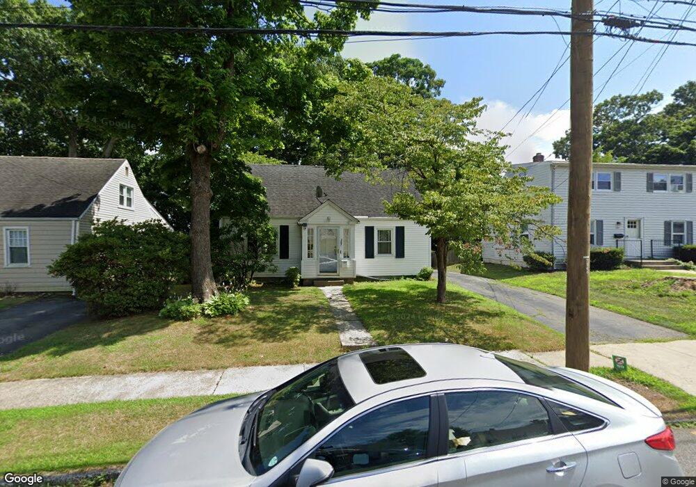
387 Queen St Bridgeport, CT 06606
North End NeighborhoodEstimated Value: $307,000 - $360,000
2
Beds
1
Bath
1,116
Sq Ft
$305/Sq Ft
Est. Value
About This Home
This home is located at 387 Queen St, Bridgeport, CT 06606 and is currently estimated at $340,217, approximately $304 per square foot. 387 Queen St is a home located in Fairfield County with nearby schools including Blackham School, Central High School, and St Andrew School.
Ownership History
Date
Name
Owned For
Owner Type
Purchase Details
Closed on
Nov 22, 1996
Sold by
Ida Greenglass Ret
Bought by
Purefoy James W and Purefoy Denise L
Current Estimated Value
Create a Home Valuation Report for This Property
The Home Valuation Report is an in-depth analysis detailing your home's value as well as a comparison with similar homes in the area
Home Values in the Area
Average Home Value in this Area
Purchase History
| Date | Buyer | Sale Price | Title Company |
|---|---|---|---|
| Purefoy James W | $80,000 | -- | |
| Purefoy James W | $80,000 | -- |
Source: Public Records
Mortgage History
| Date | Status | Borrower | Loan Amount |
|---|---|---|---|
| Open | Purefoy James W | $241,062 | |
| Closed | Purefoy James W | $198,000 | |
| Closed | Purefoy James W | $153,000 | |
| Closed | Purefoy James W | $131,750 |
Source: Public Records
Tax History Compared to Growth
Tax History
| Year | Tax Paid | Tax Assessment Tax Assessment Total Assessment is a certain percentage of the fair market value that is determined by local assessors to be the total taxable value of land and additions on the property. | Land | Improvement |
|---|---|---|---|---|
| 2025 | $5,688 | $130,910 | $75,310 | $55,600 |
| 2024 | $5,688 | $130,910 | $75,310 | $55,600 |
| 2023 | $5,688 | $130,910 | $75,310 | $55,600 |
| 2022 | $5,688 | $130,910 | $75,310 | $55,600 |
| 2021 | $5,688 | $130,910 | $75,310 | $55,600 |
| 2020 | $4,902 | $90,790 | $43,270 | $47,520 |
| 2019 | $4,902 | $90,790 | $43,270 | $47,520 |
| 2018 | $4,936 | $90,790 | $43,270 | $47,520 |
| 2017 | $4,936 | $90,790 | $43,270 | $47,520 |
| 2016 | $4,936 | $90,790 | $43,270 | $47,520 |
| 2015 | $4,867 | $115,320 | $49,980 | $65,340 |
| 2014 | $4,867 | $115,320 | $49,980 | $65,340 |
Source: Public Records
Map
Nearby Homes
- 339 Goldenrod Ave
- 375 Ruth St
- 38 Enid St Unit B
- 214 Burnsford Ave
- 184 Merritt St
- 604 Birmingham St
- 495 Peet St
- 245 Glendale Ave Unit D8
- 1095 Wayne St
- 605 Merritt St
- 260 Birmingham St
- 533 Glendale Ave
- 81 Ameridge Dr
- 720 Queen St
- 200 Woodmont Ave Unit 100
- 113 Clark St
- 333 Vincellette St Unit 109
- 288 Sunrise Terrace
- 12 Riverview Dr Unit 12
- 520 Savoy St