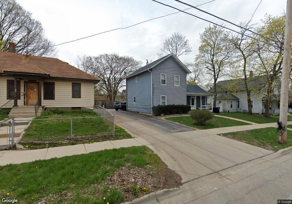
387 Raymond St Unit 389 Elgin, IL 60120
Elgin National Watch Historic District NeighborhoodEstimated Value: $277,151 - $297,000
4
Beds
3
Baths
1,889
Sq Ft
$151/Sq Ft
Est. Value
About This Home
This home is located at 387 Raymond St Unit 389, Elgin, IL 60120 and is currently estimated at $285,788, approximately $151 per square foot. 387 Raymond St Unit 389 is a home located in Kane County with nearby schools including Garfield Elementary School, Kenyon Woods Middle School, and South Elgin High School.
Ownership History
Date
Name
Owned For
Owner Type
Purchase Details
Closed on
Apr 18, 2003
Sold by
Gomez Ignacio and Aviles Josefa
Bought by
Gomez Ignacio and Aviles Josefa
Current Estimated Value
Purchase Details
Closed on
Aug 30, 1996
Sold by
Clifton Charles D and Clifton Maria R
Bought by
Gomez Ignacio and Aviles Josefa
Home Financials for this Owner
Home Financials are based on the most recent Mortgage that was taken out on this home.
Original Mortgage
$96,350
Outstanding Balance
$8,325
Interest Rate
8.27%
Mortgage Type
FHA
Estimated Equity
$277,463
Create a Home Valuation Report for This Property
The Home Valuation Report is an in-depth analysis detailing your home's value as well as a comparison with similar homes in the area
Home Values in the Area
Average Home Value in this Area
Purchase History
| Date | Buyer | Sale Price | Title Company |
|---|---|---|---|
| Gomez Ignacio | -- | -- | |
| Gomez Ignacio | $97,000 | -- |
Source: Public Records
Mortgage History
| Date | Status | Borrower | Loan Amount |
|---|---|---|---|
| Open | Gomez Ignacio | $96,350 |
Source: Public Records
Tax History Compared to Growth
Tax History
| Year | Tax Paid | Tax Assessment Tax Assessment Total Assessment is a certain percentage of the fair market value that is determined by local assessors to be the total taxable value of land and additions on the property. | Land | Improvement |
|---|---|---|---|---|
| 2024 | $5,241 | $65,484 | $9,767 | $55,717 |
| 2023 | $5,043 | $59,160 | $8,824 | $50,336 |
| 2022 | $4,316 | $49,771 | $8,046 | $41,725 |
| 2021 | $4,151 | $46,532 | $7,522 | $39,010 |
| 2020 | $4,051 | $44,422 | $7,181 | $37,241 |
| 2019 | $3,952 | $42,314 | $6,840 | $35,474 |
| 2018 | $3,941 | $39,863 | $6,444 | $33,419 |
| 2017 | $3,876 | $37,685 | $6,092 | $31,593 |
| 2016 | $3,729 | $34,962 | $5,652 | $29,310 |
| 2015 | -- | $32,046 | $5,181 | $26,865 |
| 2014 | -- | $31,650 | $5,117 | $26,533 |
| 2013 | -- | $32,485 | $5,252 | $27,233 |
Source: Public Records
Map
Nearby Homes
- 262 Bartlett Place
- 364 Bent St
- 518 Raymond St
- 270 Villa St
- 277 Gifford Place
- 306 S Liberty St
- 661 Wellington Ave
- 72 Harding St
- 422 Ryerson Ave
- 644 Lavoie Ave
- 309 Griswold St
- 331 Griswold St
- 645 Lavoie Ave
- 453 E Chicago St
- 527 Ashland Ave
- 302 Griswold St
- 327 Billings St
- 528 E Chicago St
- 552 E Chicago St
- 50 S State St
- 383 Raymond St
- 393 Raymond St Unit 395
- 358 Yarwood St
- 379 Raymond St
- 366 Yarwood St
- 384 Raymond St
- 378 Raymond St
- 403 Raymond St
- 370 Yarwood St
- 359 Yarwood St
- 392 Raymond St
- 400 Raymond St
- 363 Yarwood St Unit UPPER
- 363 Yarwood St
- 376 Yarwood St
- 269 Bartlett Place
- 404 Raymond St
- 411 Raymond St Unit 13
- 372 Raymond St
- 265 Bartlett Place