388 Aruba Cir Unit 203 Bradenton, FL 34209
Northwest Bradenton NeighborhoodEstimated Value: $766,000 - $922,000
3
Beds
3
Baths
1,664
Sq Ft
$513/Sq Ft
Est. Value
About This Home
This home is located at 388 Aruba Cir Unit 203, Bradenton, FL 34209 and is currently estimated at $854,171, approximately $513 per square foot. 388 Aruba Cir Unit 203 is a home located in Manatee County with nearby schools including Ida M. Stewart Elementary School, Martha B. King Middle School, and Manatee High School.
Ownership History
Date
Name
Owned For
Owner Type
Purchase Details
Closed on
Feb 25, 2021
Sold by
Padget David Bernard and Padget Beverly Ann
Bought by
Padget David B and Padget Beverly A
Current Estimated Value
Purchase Details
Closed on
Sep 27, 2017
Sold by
Minto Bradenton Llc
Bought by
Padget David Bernard and Padget Beverly Ann
Home Financials for this Owner
Home Financials are based on the most recent Mortgage that was taken out on this home.
Original Mortgage
$424,000
Outstanding Balance
$338,224
Interest Rate
2.25%
Mortgage Type
VA
Estimated Equity
$515,947
Create a Home Valuation Report for This Property
The Home Valuation Report is an in-depth analysis detailing your home's value as well as a comparison with similar homes in the area
Home Values in the Area
Average Home Value in this Area
Purchase History
| Date | Buyer | Sale Price | Title Company |
|---|---|---|---|
| Padget David B | -- | Accommodation | |
| Padget David Bernard | $699,800 | Founders Title |
Source: Public Records
Mortgage History
| Date | Status | Borrower | Loan Amount |
|---|---|---|---|
| Open | Padget David Bernard | $424,000 |
Source: Public Records
Tax History Compared to Growth
Tax History
| Year | Tax Paid | Tax Assessment Tax Assessment Total Assessment is a certain percentage of the fair market value that is determined by local assessors to be the total taxable value of land and additions on the property. | Land | Improvement |
|---|---|---|---|---|
| 2025 | $10,940 | $652,162 | -- | -- |
| 2024 | $10,940 | $633,782 | -- | -- |
| 2023 | $10,828 | $615,322 | $0 | $0 |
| 2022 | $10,594 | $597,400 | $0 | $0 |
| 2021 | $10,162 | $580,000 | $0 | $580,000 |
| 2020 | $10,652 | $580,000 | $0 | $580,000 |
| 2019 | $10,749 | $580,000 | $0 | $580,000 |
| 2018 | $10,969 | $585,108 | $0 | $0 |
| 2017 | $1,243 | $64,000 | $0 | $0 |
Source: Public Records
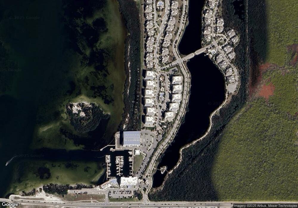
Map
Nearby Homes
- 383 Aruba Cir Unit 102
- 392 Aruba Cir Unit 102
- 379 Aruba Cir Unit 202
- 395 Aruba Cir Unit 101
- 391 Aruba Cir Unit 302
- 388 Aruba Cir Unit 103
- 391 Aruba Cir Unit 303
- 395 Aruba Cir Unit 203
- 379 Aruba Cir Unit 201
- 387 Aruba Cir Unit 301
- 396 Aruba Cir Unit 302
- 367 Compass Point Dr Unit 201
- 340 Sapphire Lake Dr Unit 202
- 340 Sapphire Lake Dr Unit 201
- 339 Sapphire Lake Dr Unit 101
- 343 Compass Point Dr Unit 201
- 315 Sapphire Lake Dr Unit 101
- 321 Sapphire Lake Dr Unit 202
- 308 Sapphire Lake Dr Unit 202
- 311 Compass Point Dr Unit 101
- 383 Aruba Cir Unit 401
- 395 Aruba Cir Unit 403
- 384 Aruba Cir Unit 302
- 380 Aruba Cir Unit 302
- 384 Aruba Cir Unit 403
- 387 Aruba Cir Unit 103
- 388 Aruba Cir Unit 403
- 380 Aruba Cir Unit 403
- 380 Aruba Cir Unit 402
- 384 Aruba Cir Unit 402
- 395 Aruba Cir Unit 202
- 391 Aruba Cir Unit 402
- 395 Aruba Cir Unit 103
- 380 Aruba Cir Unit ID1095564P
- 392 Aruba Cir Unit 203
- 391 Aruba Cir Unit 103
- 395 Aruba Cir Unit 301
- 392 Aruba Cir Unit 402
- 380 Aruba Cir Unit 202
- 392 Aruba Cir Unit 401