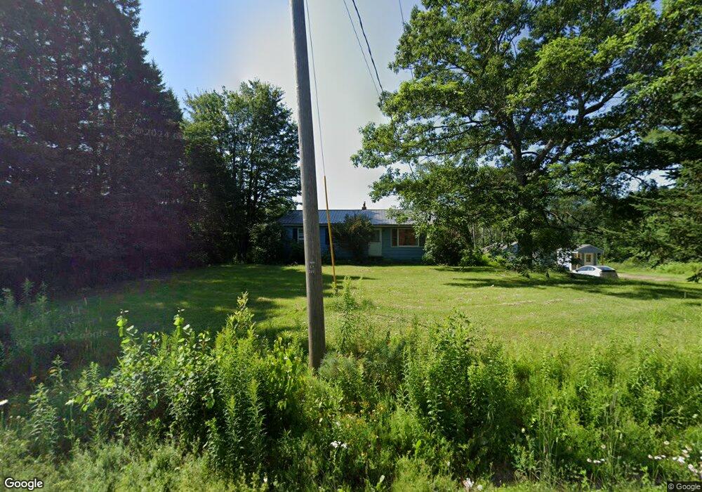
388 Stetson Rd W Levant, ME 04456
Estimated Value: $239,000 - $257,000
3
Beds
1
Bath
1,000
Sq Ft
$250/Sq Ft
Est. Value
About This Home
This home is located at 388 Stetson Rd W, Levant, ME 04456 and is currently estimated at $249,669, approximately $249 per square foot. 388 Stetson Rd W is a home located in Penobscot County with nearby schools including Suzanne M. Smith Elementary School and Caravel Middle School.
Ownership History
Date
Name
Owned For
Owner Type
Purchase Details
Closed on
Oct 16, 2012
Sold by
Lovely Sonya M
Bought by
Ropiak Michael T and Ropiak Lindsay
Current Estimated Value
Home Financials for this Owner
Home Financials are based on the most recent Mortgage that was taken out on this home.
Original Mortgage
$78,468
Outstanding Balance
$54,541
Interest Rate
3.59%
Mortgage Type
New Conventional
Estimated Equity
$195,128
Purchase Details
Closed on
Jan 21, 2005
Sold by
Lovely Eugene M
Bought by
Lovely Sonya M
Create a Home Valuation Report for This Property
The Home Valuation Report is an in-depth analysis detailing your home's value as well as a comparison with similar homes in the area
Home Values in the Area
Average Home Value in this Area
Purchase History
| Date | Buyer | Sale Price | Title Company |
|---|---|---|---|
| Ropiak Michael T | -- | -- | |
| Lovely Sonya M | -- | -- |
Source: Public Records
Mortgage History
| Date | Status | Borrower | Loan Amount |
|---|---|---|---|
| Open | Ropiak Michael T | $78,468 |
Source: Public Records
Tax History Compared to Growth
Tax History
| Year | Tax Paid | Tax Assessment Tax Assessment Total Assessment is a certain percentage of the fair market value that is determined by local assessors to be the total taxable value of land and additions on the property. | Land | Improvement |
|---|---|---|---|---|
| 2024 | $1,917 | $174,300 | $42,000 | $132,300 |
| 2023 | $1,905 | $162,100 | $42,000 | $120,100 |
| 2022 | $1,962 | $112,100 | $33,000 | $79,100 |
| 2021 | $1,962 | $112,100 | $33,000 | $79,100 |
| 2020 | $1,962 | $112,100 | $33,000 | $79,100 |
| 2019 | $1,682 | $112,100 | $33,000 | $79,100 |
| 2018 | $1,574 | $112,400 | $33,000 | $79,400 |
| 2017 | $1,420 | $105,200 | $33,000 | $72,200 |
| 2016 | $1,315 | $105,200 | $33,000 | $72,200 |
| 2015 | $1,315 | $105,200 | $33,000 | $72,200 |
| 2014 | $1,315 | $105,200 | $33,000 | $72,200 |
Source: Public Records
Map
Nearby Homes
- 100 Dill Rd
- 40 Doughty Blvd
- 61 Club House Rd
- 10 Blue Sky Dr
- 24 Blue Sky Dr
- 278 Merrill Rd
- 730 Village Rd
- 256 Merrill Rd
- 21 Stetson Rd E
- 3-3-A Avenue Rd
- 712 Avenue Rd
- 189 Stetson Rd E
- 24 Robichaud Rd
- 965 Mount Pleasant Rd
- # S Levant Rd
- 3935 Union St
- 562 Ledge Hill Rd
- 279 Wolfboro Rd
- 1149 Avenue Rd
- 473 Lakins Rd
- 381 Stetson Rd W
- 374 Stetson Rd W
- 447 Stetson Rd W
- 382 Stetson Rd W
- 382 Stetson Rd (Rt 222)
- 371 Stetson Rd W
- 403 Stetson Rd W
- 399 Stetson Rd W
- 409 Stetson Rd W
- 356 Stetson Rd W
- 357 Stetson Rd W
- 350 Stetson Rd W
- 24 Mcintosh Ave
- 24 Mcintosh Dr
- 0 Dill
- 16 Mcintosh Ave
- 4 Dill Rd
- Lot#7 Mcintosh Ave
- 0 Mcintosh Ave
- Lot 1 Mcintosh Ave