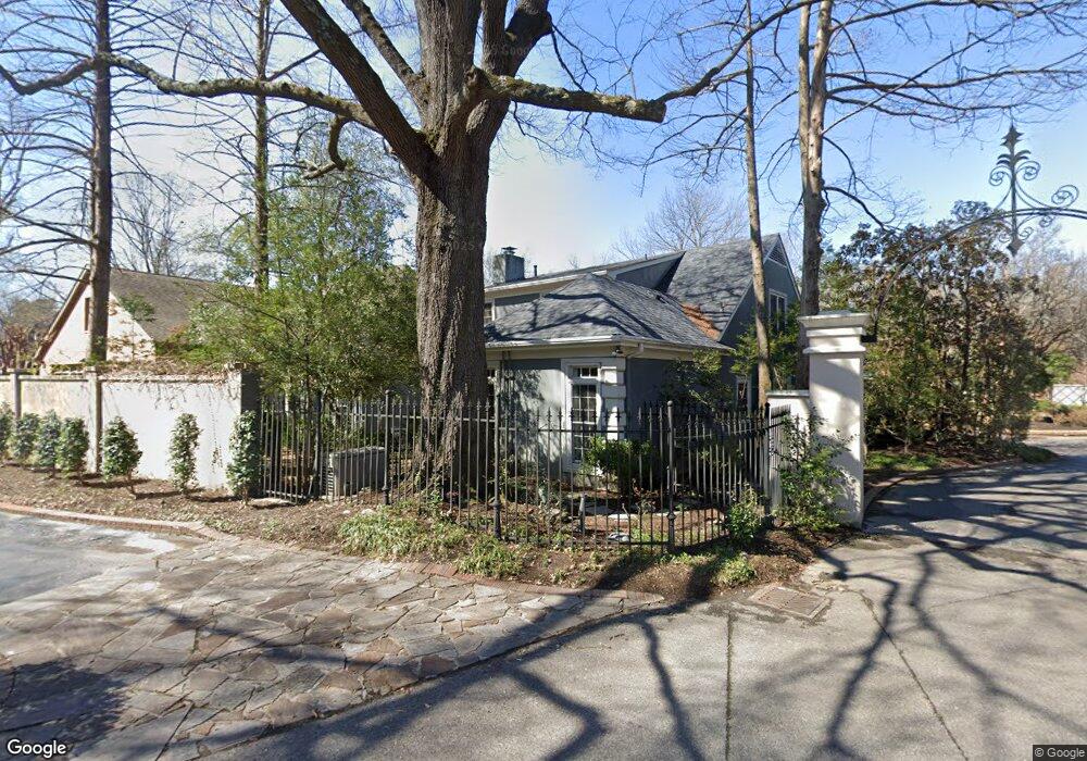
3885 Saint Andrews Green Memphis, TN 38111
High Point Terrace NeighborhoodEstimated Value: $552,479 - $790,000
4
Beds
2
Baths
4,049
Sq Ft
$163/Sq Ft
Est. Value
About This Home
This home is located at 3885 Saint Andrews Green, Memphis, TN 38111 and is currently estimated at $659,870, approximately $162 per square foot. 3885 Saint Andrews Green is a home located in Shelby County with nearby schools including White Station Elementary School, White Station High, and White Station Middle.
Ownership History
Date
Name
Owned For
Owner Type
Purchase Details
Closed on
Sep 6, 2017
Sold by
Kirsch Dorothy O
Bought by
Kirsch Dorothy O and Dorothy O Kirsch Revocable Trust
Current Estimated Value
Purchase Details
Closed on
Mar 19, 2001
Sold by
Gokturk Turgut K and Gokturk Grace A
Bought by
Kirsch Dorothy O
Purchase Details
Closed on
May 17, 1996
Sold by
Gokturk Turgut K
Bought by
Gokturk Turgut K and Gokturk Grace A
Create a Home Valuation Report for This Property
The Home Valuation Report is an in-depth analysis detailing your home's value as well as a comparison with similar homes in the area
Home Values in the Area
Average Home Value in this Area
Purchase History
| Date | Buyer | Sale Price | Title Company |
|---|---|---|---|
| Kirsch Dorothy O | -- | None Available | |
| Kirsch Dorothy O | $435,000 | -- | |
| Gokturk Turgut K | -- | -- |
Source: Public Records
Tax History Compared to Growth
Tax History
| Year | Tax Paid | Tax Assessment Tax Assessment Total Assessment is a certain percentage of the fair market value that is determined by local assessors to be the total taxable value of land and additions on the property. | Land | Improvement |
|---|---|---|---|---|
| 2025 | -- | $128,175 | $30,000 | $98,175 |
| 2024 | -- | $115,550 | $30,000 | $85,550 |
| 2023 | $7,039 | $115,550 | $30,000 | $85,550 |
| 2022 | $7,039 | $115,550 | $30,000 | $85,550 |
| 2021 | $7,121 | $115,550 | $30,000 | $85,550 |
| 2020 | $7,500 | $103,500 | $30,000 | $73,500 |
| 2019 | $7,500 | $103,500 | $30,000 | $73,500 |
| 2018 | $7,500 | $103,500 | $30,000 | $73,500 |
| 2017 | $4,445 | $108,150 | $30,000 | $78,150 |
| 2016 | $3,857 | $88,250 | $0 | $0 |
| 2014 | $3,857 | $88,250 | $0 | $0 |
Source: Public Records
Map
Nearby Homes
- 428 E Swan Ridge Cir
- 3815 Montclair Dr
- 3811 S Montclair Dr
- 273 Saint Andrews Fairway
- 4023 Hilldale Ave
- 3749 Shirlwood Ave
- 3763 Cardinal Ave
- 3697 Shirlwood Ave
- 219 N Rose Rd
- 3727 N Swan Ridge Cir
- 294 Aurora Cir
- 207 N Goodlett St
- 3688 Philwood Ave
- 599 Isabelle St
- 501 Gerald Rd
- 4152 Barfield Rd
- 3682 Oakley Ave
- 3611 Aurora Cir
- 458 Gerald Rd
- 4151 Barfield Rd
- 3879 Saint Andrews Green
- 370 Saint Andrews Fwy
- 355 Saint Andrews Fairway
- 355 Saint Andrews Fwy
- 3873 Saint Andrews Green
- 3884 Saint Andrews Green
- 376 Saint Andrews Fwy
- 3890 Saint Andrews Green
- 3878 Saint Andrews Green
- 382 Saint Andrews Fwy
- 350 Saint Andrews Fwy
- 3868 Saint Andrews Green
- 388 Saint Andrews Fwy
- 388 Saint Andrews Fwy
- 3856 Montclair Dr
- 345 Saint Andrews Fwy
- 3860 Saint Andrews Green
- 3850 Montclair Dr
- 385 N Graham St
- 3849 Montclair Dr