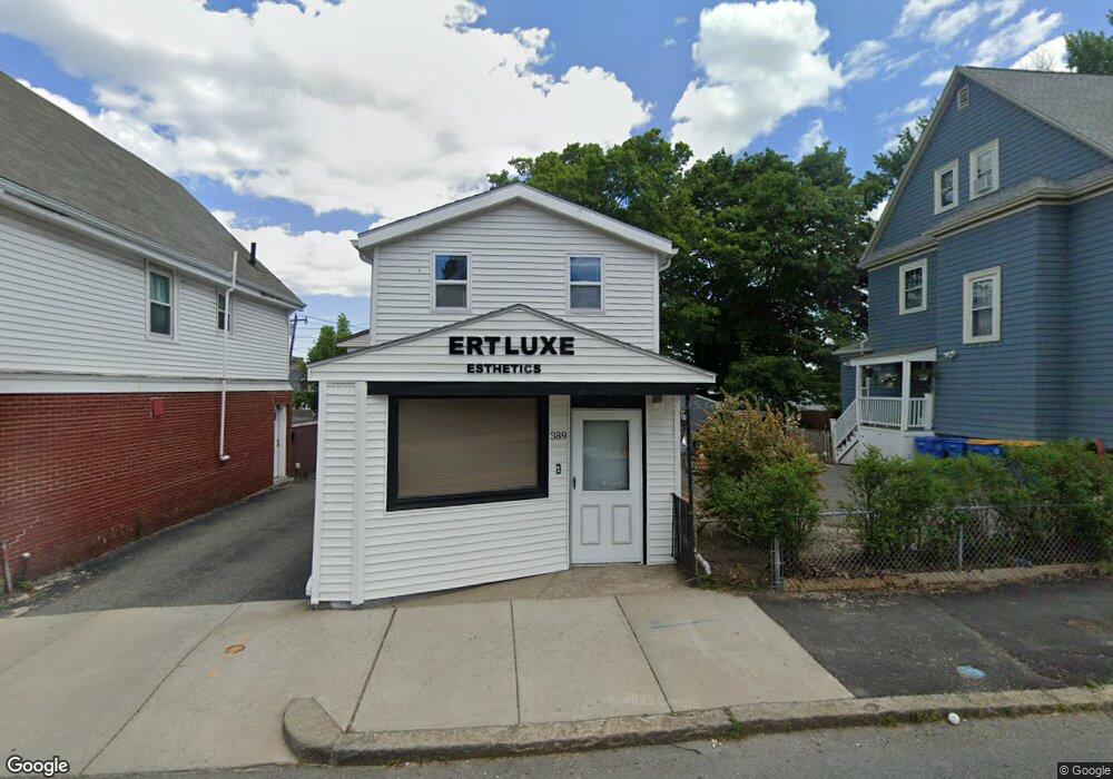
389 Winthrop St Unit 1 Winthrop, MA 02152
Downtown Winthrop NeighborhoodEstimated Value: $766,016
--
Bed
1
Bath
--
Sq Ft
5,358
Sq Ft Lot
About This Home
This home is located at 389 Winthrop St Unit 1, Winthrop, MA 02152 and is currently estimated at $766,016. 389 Winthrop St Unit 1 is a home located in Suffolk County with nearby schools including William P. Gorman/Fort Banks Elementary School, Arthur T. Cummings Elementary School, and Winthrop Middle School.
Ownership History
Date
Name
Owned For
Owner Type
Purchase Details
Closed on
Jan 13, 2016
Sold by
Buonopane Robert V Est
Bought by
389 Winthrop Street Llc
Current Estimated Value
Home Financials for this Owner
Home Financials are based on the most recent Mortgage that was taken out on this home.
Original Mortgage
$375,000
Outstanding Balance
$298,343
Interest Rate
3.97%
Mortgage Type
Commercial
Estimated Equity
$467,673
Create a Home Valuation Report for This Property
The Home Valuation Report is an in-depth analysis detailing your home's value as well as a comparison with similar homes in the area
Home Values in the Area
Average Home Value in this Area
Purchase History
| Date | Buyer | Sale Price | Title Company |
|---|---|---|---|
| 389 Winthrop Street Llc | $403,000 | -- |
Source: Public Records
Mortgage History
| Date | Status | Borrower | Loan Amount |
|---|---|---|---|
| Open | 389 Winthrop Street Llc | $375,000 |
Source: Public Records
Tax History Compared to Growth
Tax History
| Year | Tax Paid | Tax Assessment Tax Assessment Total Assessment is a certain percentage of the fair market value that is determined by local assessors to be the total taxable value of land and additions on the property. | Land | Improvement |
|---|---|---|---|---|
| 2025 | $8,443 | $818,100 | $407,200 | $410,900 |
| 2024 | $7,934 | $761,400 | $407,200 | $354,200 |
| 2023 | $7,955 | $743,500 | $407,200 | $336,300 |
| 2022 | $7,511 | $638,700 | $362,500 | $276,200 |
| 2021 | $7,167 | $565,200 | $294,000 | $271,200 |
| 2020 | $7,133 | $565,200 | $294,000 | $271,200 |
| 2019 | $6,392 | $485,000 | $226,000 | $259,000 |
| 2018 | $6,480 | $457,600 | $201,800 | $255,800 |
| 2017 | $6,892 | $478,300 | $194,400 | $283,900 |
| 2016 | $7,139 | $464,500 | $194,400 | $270,100 |
| 2015 | $6,591 | $459,600 | $189,500 | $270,100 |
| 2014 | $6,788 | $435,700 | $178,800 | $256,900 |
Source: Public Records
Map
Nearby Homes
- 426 Winthrop St
- 441 Winthrop St
- 9 Atlantic St Unit 2
- 50-52 Wilshire St
- 800 Governors Dr Unit 6
- 1100 Governors Dr Unit 6
- 800 Governors Dr Unit 30
- 1000 Governors Dr Unit 25
- 87 Hermon St
- 80 Shirley St
- 41 Summit Ave
- 130 Shirley St Unit 204
- 130 Shirley St Unit 202
- 10 Beach Rd Unit 1
- 9 Marshall St
- 34 Fremont St
- 174 Winthrop St Unit 2
- 19 Pleasant Park Rd
- 14 Pleasant Park Rd
- 279 Shirley St Unit 2
- 389 Winthrop St
- 397 Winthrop St
- 385 Winthrop St
- 390 Winthrop St
- 381 Winthrop St
- 396 Winthrop St
- 342 Main St
- 000 Winthrop St
- 375 Winthrop St
- 375 Winthrop St Unit 1
- 375 Winthrop St Unit A
- 373 Winthrop St Unit 1
- 90 Atlantic St
- 4 Revere St
- 15 Revere St Unit 17
- 2 Revere St
- 6 Revere St
- 6 Revere St Unit 2
- 303 Main St
- 15-17 Revere St