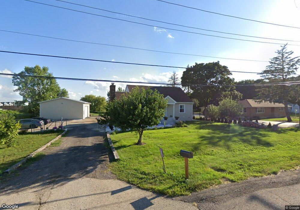
38W675 Us Highway 20 Elgin, IL 60124
Far West Elgin NeighborhoodEstimated Value: $327,000 - $379,425
4
Beds
2
Baths
1,280
Sq Ft
$272/Sq Ft
Est. Value
About This Home
This home is located at 38W675 Us Highway 20, Elgin, IL 60124 and is currently estimated at $347,606, approximately $271 per square foot. 38W675 Us Highway 20 is a home located in Kane County with nearby schools including Howard B. Thomas Grade School, Prairie Knolls Middle School, and Central Middle School.
Ownership History
Date
Name
Owned For
Owner Type
Purchase Details
Closed on
Jun 13, 2020
Sold by
Arreguin Alejandro and Arreguin Kareina
Bought by
Arrequin Mendez Rafael and Arreguin Alejandro
Current Estimated Value
Purchase Details
Closed on
Dec 5, 2016
Sold by
Schambach Ronald L
Bought by
Arreguin Alejandro and Arreguin Karina
Home Financials for this Owner
Home Financials are based on the most recent Mortgage that was taken out on this home.
Original Mortgage
$167,902
Outstanding Balance
$135,494
Interest Rate
3.5%
Mortgage Type
FHA
Estimated Equity
$212,112
Purchase Details
Closed on
Jan 30, 2001
Sold by
Schambach Ronald L and Schambach Nancy L
Bought by
Schambach Ronald L and The Ronald Schambach Trust
Create a Home Valuation Report for This Property
The Home Valuation Report is an in-depth analysis detailing your home's value as well as a comparison with similar homes in the area
Home Values in the Area
Average Home Value in this Area
Purchase History
| Date | Buyer | Sale Price | Title Company |
|---|---|---|---|
| Arrequin Mendez Rafael | -- | Attorneys Ttl Guaranty Fund | |
| Arreguin Alejandro | $171,000 | Attorneys Title Guaranty Fun | |
| Schambach Ronald L | -- | -- |
Source: Public Records
Mortgage History
| Date | Status | Borrower | Loan Amount |
|---|---|---|---|
| Open | Arreguin Alejandro | $167,902 |
Source: Public Records
Tax History Compared to Growth
Tax History
| Year | Tax Paid | Tax Assessment Tax Assessment Total Assessment is a certain percentage of the fair market value that is determined by local assessors to be the total taxable value of land and additions on the property. | Land | Improvement |
|---|---|---|---|---|
| 2024 | $6,618 | $100,546 | $25,484 | $75,062 |
| 2023 | $6,174 | $90,836 | $23,023 | $67,813 |
| 2022 | $5,906 | $82,827 | $20,993 | $61,834 |
| 2021 | $5,623 | $77,437 | $19,627 | $57,810 |
| 2020 | $5,429 | $66,998 | $18,737 | $48,261 |
| 2019 | $5,206 | $62,700 | $17,848 | $44,852 |
| 2018 | $4,860 | $59,067 | $16,814 | $42,253 |
| 2017 | $4,623 | $55,839 | $15,895 | $39,944 |
| 2016 | $5,946 | $59,084 | $14,746 | $44,338 |
| 2015 | -- | $54,156 | $13,516 | $40,640 |
| 2014 | -- | $53,487 | $13,349 | $40,138 |
| 2013 | -- | $54,898 | $13,701 | $41,197 |
Source: Public Records
Map
Nearby Homes
- 3827 Trillium Trail
- 3619 Daisy Ln
- 3410 Cameron Dr Unit 34
- 138 Trumpet Vine Cir
- 1855 Diamond Dr
- 234 Longview Dr
- 342 Snow Drop Ln
- 279 Garden Dr
- 264 Snow Drop Ln
- 266 Snowdrop Ln
- 270 Snow Drop Ln
- 285 Snowdrop Ln
- 3316 Highwood Ct
- 311 Snowdrop Ln
- 264 Snowdrop Ln
- 313 Snowdrop Ln
- 315 Snowdrop Ln
- 268 Snowdrop Ln
- 313 Snow Drop Ln
- 315 Snow Drop Ln
- 38W675 U S 20
- 38W703 Us Highway 20
- 38W715 Plank Rd
- 91 Sweetflag Cir
- 95 Sweetflag Cir
- 89 Sweetflag Cir
- 38W700 Us Highway 20
- 38W700 Us Highway 20
- 38737 W Plank Rd
- 97 Sweetflag Cir
- 38W654 Us Highway 20
- 87 Sweetflag Cir
- 92 Sweetflag Cir
- 85 Sweetflag Cir
- 38W769 Plank Rd
- 101 Sweetflag Cir
- 90 Sweetflag Cir
- 83 Sweetflag Cir
- 110 Sweetflag Cir