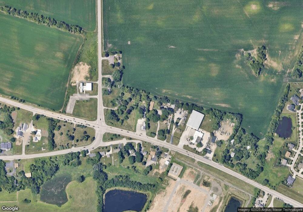
38W700 Us Highway 20 Elgin, IL 60124
Far West Elgin NeighborhoodEstimated Value: $1,158,039
--
Bed
9
Baths
2,856
Sq Ft
$405/Sq Ft
Est. Value
About This Home
This home is located at 38W700 Us Highway 20, Elgin, IL 60124 and is currently estimated at $1,158,039, approximately $405 per square foot. 38W700 Us Highway 20 is a home located in Kane County with nearby schools including Country Trails Elementary School, Prairie Knolls Middle School, and Central Middle School.
Ownership History
Date
Name
Owned For
Owner Type
Purchase Details
Closed on
Aug 20, 2025
Sold by
Diamond Holdings Llc
Bought by
Sabir A Siddique Living Trust and Siddique
Current Estimated Value
Purchase Details
Closed on
Dec 5, 2020
Sold by
Zafar Limited Partnership
Bought by
Diamond Holdings Llc
Purchase Details
Closed on
Jan 31, 2011
Sold by
Steinbis Raymond
Bought by
Zafar Limited Partnership
Create a Home Valuation Report for This Property
The Home Valuation Report is an in-depth analysis detailing your home's value as well as a comparison with similar homes in the area
Home Values in the Area
Average Home Value in this Area
Purchase History
| Date | Buyer | Sale Price | Title Company |
|---|---|---|---|
| Sabir A Siddique Living Trust | -- | None Listed On Document | |
| Diamond Holdings Llc | $550,000 | Chicago Title Insurance Co | |
| Zafar Limited Partnership | $550,000 | None Available |
Source: Public Records
Tax History Compared to Growth
Tax History
| Year | Tax Paid | Tax Assessment Tax Assessment Total Assessment is a certain percentage of the fair market value that is determined by local assessors to be the total taxable value of land and additions on the property. | Land | Improvement |
|---|---|---|---|---|
| 2024 | $24,209 | $304,094 | $102,126 | $201,968 |
| 2023 | $23,275 | $274,726 | $92,263 | $182,463 |
| 2022 | $21,838 | $250,503 | $84,128 | $166,375 |
| 2021 | $20,920 | $234,203 | $78,654 | $155,549 |
| 2020 | $20,291 | $223,582 | $75,087 | $148,495 |
| 2019 | $19,554 | $212,976 | $71,525 | $141,451 |
| 2018 | $18,375 | $200,637 | $67,381 | $133,256 |
| 2017 | $18,717 | $201,781 | $67,765 | $134,016 |
| 2016 | $18,840 | $187,199 | $62,868 | $124,331 |
| 2015 | -- | $171,585 | $57,624 | $113,961 |
| 2014 | -- | $134,280 | $36,906 | $97,374 |
| 2013 | -- | $137,823 | $37,880 | $99,943 |
Source: Public Records
Map
Nearby Homes
- 3410 Cameron Dr Unit 34
- 3619 Daisy Ln
- 3827 Trillium Trail
- 138 Trumpet Vine Cir
- 1855 Diamond Dr
- 234 Longview Dr
- 3316 Highwood Ct
- 342 Snow Drop Ln
- 279 Garden Dr
- 264 Snow Drop Ln
- 266 Snowdrop Ln
- 270 Snow Drop Ln
- 285 Snowdrop Ln
- 311 Snowdrop Ln
- 264 Snowdrop Ln
- 313 Snowdrop Ln
- 315 Snowdrop Ln
- 268 Snowdrop Ln
- 313 Snow Drop Ln
- 315 Snow Drop Ln
- 38W700 Us Highway 20
- 38W654 Us Highway 20
- 38W675 Us Highway 20
- 38W675 U S 20
- 38W703 Us Highway 20
- 38w Us Highway 20
- 38W770 Us Highway 20
- 38W715 Plank Rd
- 38737 W Plank Rd
- 95 Sweetflag Cir
- 38W769 Plank Rd
- 12N095 Coombs Rd
- 97 Sweetflag Cir
- 91 Sweetflag Cir
- 12N121 Coombs Rd
- 89 Sweetflag Cir
- 38W797 Plank Rd
- 101 Sweetflag Cir
- 87 Sweetflag Cir