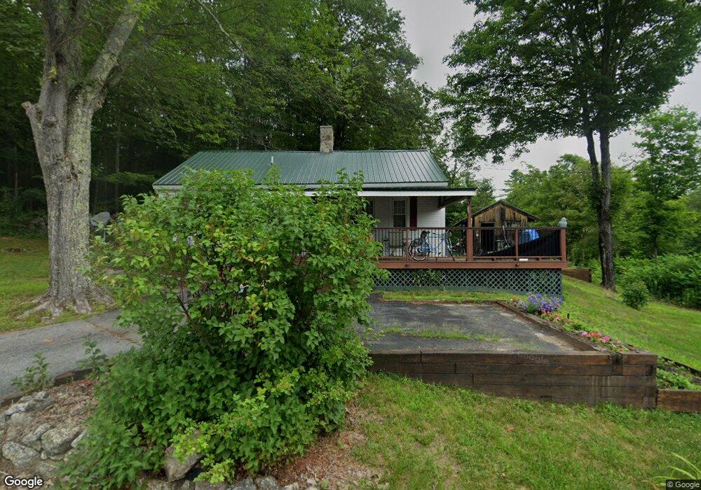
39 Chase Rd Meredith, NH 03253
Estimated Value: $305,622 - $538,000
2
Beds
2
Baths
1,086
Sq Ft
$355/Sq Ft
Est. Value
About This Home
This home is located at 39 Chase Rd, Meredith, NH 03253 and is currently estimated at $385,156, approximately $354 per square foot. 39 Chase Rd is a home located in Belknap County with nearby schools including Inter-Lakes Elementary School, Sandwich Central School, and Inter-Lakes Middle High School.
Ownership History
Date
Name
Owned For
Owner Type
Purchase Details
Closed on
Jul 3, 1997
Sold by
Capsalis Michael P
Bought by
Perkins Allan R and Perkins Michelle G
Current Estimated Value
Home Financials for this Owner
Home Financials are based on the most recent Mortgage that was taken out on this home.
Original Mortgage
$50,000
Outstanding Balance
$7,395
Interest Rate
7.86%
Mortgage Type
Purchase Money Mortgage
Estimated Equity
$377,761
Purchase Details
Closed on
Mar 31, 1997
Sold by
Quinney Timothy J and Quinney Toni C
Bought by
Capsalis Michael P
Create a Home Valuation Report for This Property
The Home Valuation Report is an in-depth analysis detailing your home's value as well as a comparison with similar homes in the area
Home Values in the Area
Average Home Value in this Area
Purchase History
| Date | Buyer | Sale Price | Title Company |
|---|---|---|---|
| Perkins Allan R | $62,500 | -- | |
| Capsalis Michael P | $28,500 | -- |
Source: Public Records
Mortgage History
| Date | Status | Borrower | Loan Amount |
|---|---|---|---|
| Open | Capsalis Michael P | $50,000 |
Source: Public Records
Tax History
| Year | Tax Paid | Tax Assessment Tax Assessment Total Assessment is a certain percentage of the fair market value that is determined by local assessors to be the total taxable value of land and additions on the property. | Land | Improvement |
|---|---|---|---|---|
| 2024 | $2,180 | $212,500 | $77,700 | $134,800 |
| 2023 | $2,109 | $213,200 | $77,700 | $135,500 |
| 2022 | $1,816 | $130,000 | $47,100 | $82,900 |
| 2021 | $1,746 | $130,000 | $47,100 | $82,900 |
| 2020 | $1,823 | $130,000 | $47,100 | $82,900 |
| 2019 | $1,770 | $111,400 | $38,000 | $73,400 |
| 2018 | $1,740 | $111,400 | $38,000 | $73,400 |
| 2016 | $1,802 | $115,600 | $37,400 | $78,200 |
| 2015 | $1,757 | $115,600 | $37,400 | $78,200 |
| 2014 | $1,714 | $115,600 | $37,400 | $78,200 |
| 2013 | $1,666 | $115,600 | $37,400 | $78,200 |
Source: Public Records
Map
Nearby Homes
- 447 Nh Route 104
- 70 Hatch Corner Rd
- 6 Loon Point Rd
- 2 Namak Way
- 57 Winona Rd
- Lot 3 Winona Rd
- Lot 1 Winona Rd
- Lot 2 Winona Rd
- Lot 4 Winona Rd
- 5 Clover Ridge Rd
- 178 Meredith Center Rd
- 18 Solace Pointe Rd
- Lot 7 Lindsay Ln
- Lot 5 Lindsay Ln
- 18 Hickorywood Cir
- 00 Chemung Rd Unit 31
- 47 Clover Ridge Rd
- 1 Sanctuary Ln
- 65 Tucker Mountain Rd
- 48 Waukewan Rd
- 38 Chase Rd
- 34 Chase Rd
- 24 Chase Rd
- 6 Dolloff Brook Rd
- 48 Chase Rd
- 18 Chase Rd
- 3 Dolloff Brook Rd
- 5 Dolloff Brook Rd
- 8 Dolloff Brook Rd
- 9 Dolloff Brook Rd
- 2 Dolloff Brook Rd
- 10 Dolloff Brook Rd
- 11 Dolloff Brook Rd
- 60 Chase Rd
- 12 Dolloff Brook Rd
- 14 Dolloff Brook Rd
- 4 Dolloff Brook Rd
- 15 Dolloff Brook Rd
- 15 Chase Rd
- 20 Dolloff Brook Rd
Your Personal Tour Guide
Ask me questions while you tour the home.