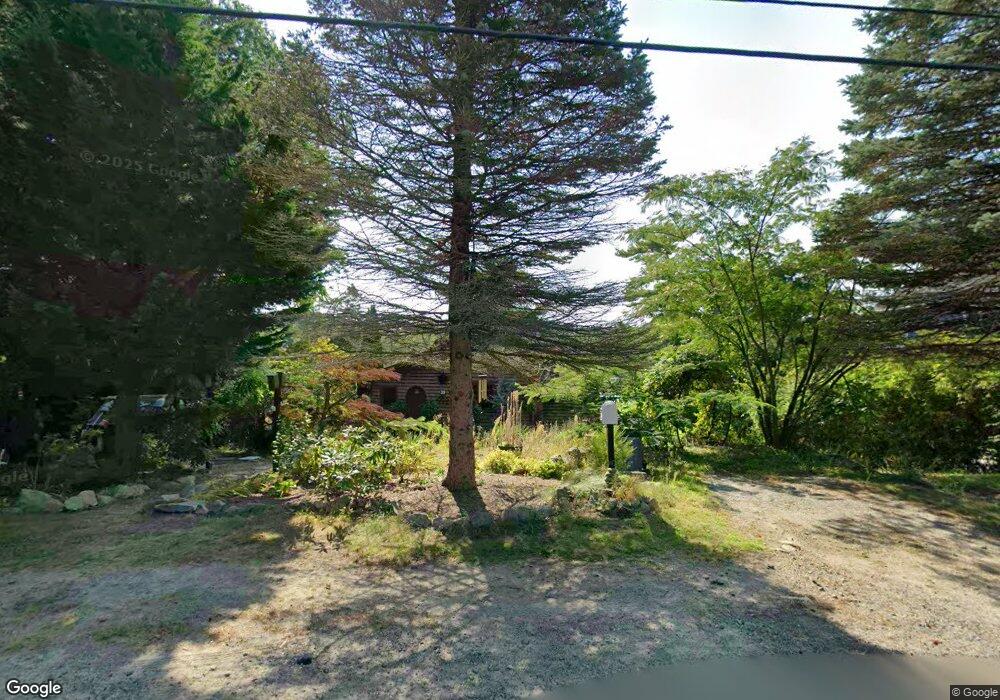
39 Dennison St Gloucester, MA 01930
Estimated Value: $1,093,024 - $1,313,000
3
Beds
1
Bath
1,057
Sq Ft
$1,102/Sq Ft
Est. Value
About This Home
This home is located at 39 Dennison St, Gloucester, MA 01930 and is currently estimated at $1,165,006, approximately $1,102 per square foot. 39 Dennison St is a home located in Essex County with nearby schools including Plum Cove School, Ralph B O'maley Middle School, and Gloucester High School.
Ownership History
Date
Name
Owned For
Owner Type
Purchase Details
Closed on
Dec 29, 1999
Sold by
Dolloff Silas B
Bought by
Marchant Linda M
Current Estimated Value
Create a Home Valuation Report for This Property
The Home Valuation Report is an in-depth analysis detailing your home's value as well as a comparison with similar homes in the area
Purchase History
| Date | Buyer | Sale Price | Title Company |
|---|---|---|---|
| Marchant Linda M | $200,000 | -- |
Source: Public Records
Mortgage History
| Date | Status | Borrower | Loan Amount |
|---|---|---|---|
| Open | Marchant Linda M | $50,000 | |
| Closed | Marchant Linda M | $13,150 | |
| Closed | Marchant Linda M | $20,050 |
Source: Public Records
Tax History
| Year | Tax Paid | Tax Assessment Tax Assessment Total Assessment is a certain percentage of the fair market value that is determined by local assessors to be the total taxable value of land and additions on the property. | Land | Improvement |
|---|---|---|---|---|
| 2025 | $10,533 | $1,083,600 | $814,600 | $269,000 |
| 2024 | $10,168 | $1,045,000 | $776,000 | $269,000 |
| 2023 | $9,356 | $883,500 | $662,200 | $221,300 |
| 2022 | $9,121 | $777,600 | $575,700 | $201,900 |
| 2021 | $8,882 | $714,000 | $523,500 | $190,500 |
| 2020 | $8,747 | $709,400 | $523,500 | $185,900 |
| 2019 | $8,347 | $657,800 | $499,100 | $158,700 |
| 2018 | $8,145 | $629,900 | $487,000 | $142,900 |
| 2017 | $7,865 | $596,300 | $463,300 | $133,000 |
| 2016 | $7,549 | $554,700 | $443,200 | $111,500 |
| 2015 | $7,326 | $536,700 | $433,100 | $103,600 |
Source: Public Records
Map
Nearby Homes
- 672 Washington St
- 136 Leonard St
- 2 Breezy Point Rd
- 4 Ciaramitaro Ct
- 3 Deacon Farm Ln
- 226 Atlantic St
- 31 Echo Ave
- 13 Honeysuckle Rd
- 178 Atlantic St
- 167 Atlantic St
- 9 Hickory St
- 1030 Washington St
- 43 High St Unit B
- 10 Emerald St
- 13 Mystic Ave
- 8 Mystic Ave
- 3 Rockland St
- 98 Maplewood Ave
- 6 Monroe Ct
- 12 Arthur St
- 37 Dennison St
- 45 Dennison St
- 35 Dennison St
- 33 Dennison St
- 42 Dennison St
- 42 Dennison St
- 31 Dennison St
- 31 Dennison St
- 44 Dennison St
- 53 Dennison St
- 29 Dennison St
- 34 Dennison St
- 60 Dennison St
- 27 Dennison St Unit 29
- 27 Dennison St
- 28 Dennison St
- 64 Dennison St
- 55 Dennison St
- 55 Dennison St
- 55 Dennison St Unit Winter
Your Personal Tour Guide
Ask me questions while you tour the home.