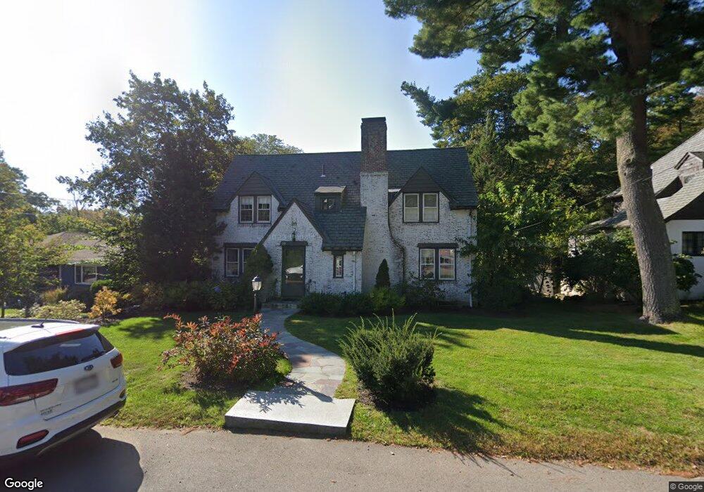
39 Devonshire Rd Waban, MA 02468
Waban NeighborhoodEstimated Value: $1,899,000 - $2,302,491
4
Beds
3
Baths
2,556
Sq Ft
$827/Sq Ft
Est. Value
About This Home
This home is located at 39 Devonshire Rd, Waban, MA 02468 and is currently estimated at $2,113,873, approximately $827 per square foot. 39 Devonshire Rd is a home located in Middlesex County with nearby schools including Angier Elementary School, Charles E Brown Middle School, and Newton South High School.
Ownership History
Date
Name
Owned For
Owner Type
Purchase Details
Closed on
Aug 4, 2006
Sold by
Shycon Harvey N and Shycon Phyllis N
Bought by
Nelson Caleb P and Bliss Sandra J
Current Estimated Value
Home Financials for this Owner
Home Financials are based on the most recent Mortgage that was taken out on this home.
Original Mortgage
$743,200
Outstanding Balance
$444,749
Interest Rate
6.7%
Mortgage Type
Purchase Money Mortgage
Estimated Equity
$1,669,124
Create a Home Valuation Report for This Property
The Home Valuation Report is an in-depth analysis detailing your home's value as well as a comparison with similar homes in the area
Home Values in the Area
Average Home Value in this Area
Purchase History
| Date | Buyer | Sale Price | Title Company |
|---|---|---|---|
| Nelson Caleb P | $929,000 | -- |
Source: Public Records
Mortgage History
| Date | Status | Borrower | Loan Amount |
|---|---|---|---|
| Open | Nelson Caleb P | $743,200 |
Source: Public Records
Tax History
| Year | Tax Paid | Tax Assessment Tax Assessment Total Assessment is a certain percentage of the fair market value that is determined by local assessors to be the total taxable value of land and additions on the property. | Land | Improvement |
|---|---|---|---|---|
| 2025 | $20,363 | $2,077,900 | $1,324,400 | $753,500 |
| 2024 | $19,690 | $2,017,400 | $1,285,800 | $731,600 |
| 2023 | $18,926 | $1,859,100 | $992,300 | $866,800 |
| 2022 | $18,109 | $1,721,400 | $918,800 | $802,600 |
| 2021 | $17,474 | $1,624,000 | $866,800 | $757,200 |
| 2020 | $16,955 | $1,624,000 | $866,800 | $757,200 |
| 2019 | $16,477 | $1,576,700 | $841,600 | $735,100 |
| 2018 | $16,036 | $1,482,100 | $765,000 | $717,100 |
| 2017 | $14,823 | $1,333,000 | $721,700 | $611,300 |
| 2016 | $14,177 | $1,245,800 | $674,500 | $571,300 |
| 2015 | $13,518 | $1,164,300 | $630,400 | $533,900 |
Source: Public Records
Map
Nearby Homes
- 91 Waban Ave
- 20 Kinmonth Rd Unit 203
- 20 Kinmonth Rd Unit 306
- 20 Kinmonth Rd Unit 4
- 873 Chestnut St
- 34 Larchmont Ave
- 29 Montclair Rd
- 110 Avalon Rd
- 115 Windsor Rd
- 0 Metacomet Rd
- 33 Metacomet Rd
- 181 Saint Mary St
- 187 Saint Mary St
- 1003 Chestnut St
- 1438 Beacon St
- 126 Beethoven Ave
- 31 Wilde Rd
- 177 Varick Rd
- 27 Hamilton Place
- 18 Moffat Rd
Your Personal Tour Guide
Ask me questions while you tour the home.