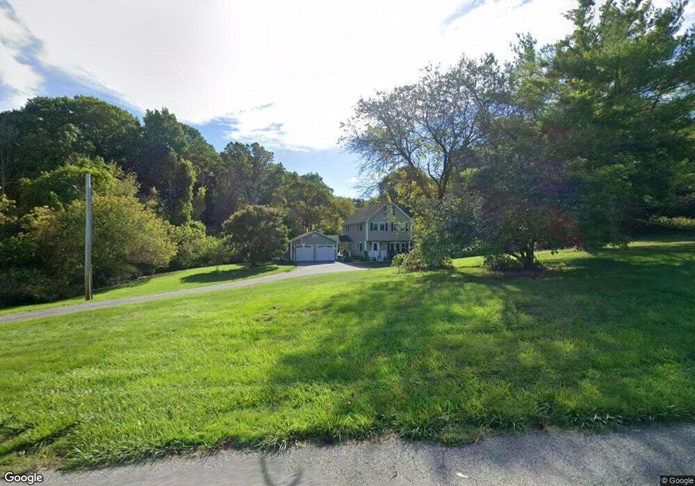
39 Dexter Rock Rd Lincoln, RI 02865
Lonsdale NeighborhoodEstimated Value: $851,000 - $1,008,000
5
Beds
4
Baths
2,880
Sq Ft
$324/Sq Ft
Est. Value
About This Home
This home is located at 39 Dexter Rock Rd, Lincoln, RI 02865 and is currently estimated at $934,054, approximately $324 per square foot. 39 Dexter Rock Rd is a home located in Providence County with nearby schools including Lincoln Senior High School, Blackstone Valley Prep Elementary School 1, and Blackstone Valley Prep Upper Elementary School.
Ownership History
Date
Name
Owned For
Owner Type
Purchase Details
Closed on
Mar 13, 2017
Sold by
Conaty Christopher M and Conaty Lori J
Bought by
Conaty Lori J
Current Estimated Value
Purchase Details
Closed on
Nov 30, 2006
Sold by
Pullenza Andrew D and Pullenza Malgorzata
Bought by
Conaty Christopher M and Conaty Lori J
Home Financials for this Owner
Home Financials are based on the most recent Mortgage that was taken out on this home.
Original Mortgage
$315,000
Interest Rate
6.36%
Mortgage Type
Purchase Money Mortgage
Purchase Details
Closed on
Mar 31, 2003
Sold by
Domenico Albert E and Domenico Steven
Bought by
Paul Edward K
Create a Home Valuation Report for This Property
The Home Valuation Report is an in-depth analysis detailing your home's value as well as a comparison with similar homes in the area
Home Values in the Area
Average Home Value in this Area
Purchase History
| Date | Buyer | Sale Price | Title Company |
|---|---|---|---|
| Conaty Lori J | -- | -- | |
| Conaty Christopher M | $515,000 | -- | |
| Paul Edward K | $198,000 | -- |
Source: Public Records
Mortgage History
| Date | Status | Borrower | Loan Amount |
|---|---|---|---|
| Previous Owner | Paul Edward K | $315,000 | |
| Previous Owner | Paul Edward K | $315,000 | |
| Previous Owner | Paul Edward K | $84,000 |
Source: Public Records
Tax History Compared to Growth
Tax History
| Year | Tax Paid | Tax Assessment Tax Assessment Total Assessment is a certain percentage of the fair market value that is determined by local assessors to be the total taxable value of land and additions on the property. | Land | Improvement |
|---|---|---|---|---|
| 2025 | $10,152 | $750,900 | $222,900 | $528,000 |
| 2024 | $9,938 | $572,800 | $172,600 | $400,200 |
| 2023 | $9,445 | $572,800 | $172,600 | $400,200 |
| 2022 | $9,423 | $572,800 | $172,600 | $400,200 |
| 2021 | $6,080 | $461,000 | $112,000 | $349,000 |
| 2020 | $9,285 | $461,000 | $112,000 | $349,000 |
| 2018 | $9,358 | $418,700 | $112,000 | $306,700 |
| 2017 | $9,170 | $418,700 | $112,000 | $306,700 |
| 2016 | $9,044 | $418,700 | $112,000 | $306,700 |
| 2015 | $8,871 | $377,000 | $102,200 | $274,800 |
| 2014 | $8,886 | $377,000 | $102,200 | $274,800 |
Source: Public Records
Map
Nearby Homes
- 37 Dexter Rock Rd
- 18 Dexter Rock Rd
- 46 Dexter Rock Rd
- 44 Dexter Rock Rd
- 41 Dexter Rock Rd
- 552 River Rd
- 36 Dexter Rock Rd
- 20 Sir Charles Rd
- 0 Dexter Rock Way
- 0 Dexter Rock Rd
- 570 River Rd
- 550 River Rd
- 514 River Rd
- 548 River Rd
- 19 Sir Charles Rd
- 569 River Rd
- 546 River Rd
- 594 River Rd
- 18 Sir Charles Rd
- 610 River Rd