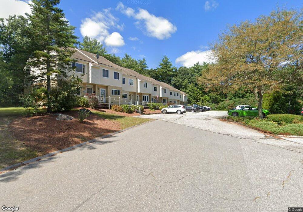
39 Freetown Rd Unit 6 Raymond, NH 03077
Estimated Value: $296,000 - $357,000
2
Beds
2
Baths
1,128
Sq Ft
$292/Sq Ft
Est. Value
About This Home
This home is located at 39 Freetown Rd Unit 6, Raymond, NH 03077 and is currently estimated at $329,365, approximately $291 per square foot. 39 Freetown Rd Unit 6 is a home located in Rockingham County with nearby schools including Lamprey River Elementary School, Iber Holmes Gove Middle School, and Raymond High School.
Ownership History
Date
Name
Owned For
Owner Type
Purchase Details
Closed on
Aug 5, 2021
Sold by
Korn Rlty Enterprises Llc
Bought by
Rodgers Gregory P
Current Estimated Value
Home Financials for this Owner
Home Financials are based on the most recent Mortgage that was taken out on this home.
Original Mortgage
$57,000
Interest Rate
2.8%
Mortgage Type
Purchase Money Mortgage
Purchase Details
Closed on
Aug 4, 2016
Sold by
Crowley John J and Crowley Mary L
Bought by
Korn Realty Enterprise
Purchase Details
Closed on
Jul 2, 1993
Bought by
Crowley John J and Crowley Mary L
Create a Home Valuation Report for This Property
The Home Valuation Report is an in-depth analysis detailing your home's value as well as a comparison with similar homes in the area
Home Values in the Area
Average Home Value in this Area
Purchase History
| Date | Buyer | Sale Price | Title Company |
|---|---|---|---|
| Rodgers Gregory P | $77,000 | None Available | |
| Korn Realty Enterprise | $77,000 | -- | |
| Crowley John J | -- | -- |
Source: Public Records
Mortgage History
| Date | Status | Borrower | Loan Amount |
|---|---|---|---|
| Previous Owner | Rodgers Gregory P | $57,000 |
Source: Public Records
Tax History Compared to Growth
Tax History
| Year | Tax Paid | Tax Assessment Tax Assessment Total Assessment is a certain percentage of the fair market value that is determined by local assessors to be the total taxable value of land and additions on the property. | Land | Improvement |
|---|---|---|---|---|
| 2024 | $3,889 | $177,500 | $0 | $177,500 |
| 2023 | $3,678 | $177,500 | $0 | $177,500 |
| 2022 | $3,246 | $177,500 | $0 | $177,500 |
| 2021 | $3,286 | $177,500 | $0 | $177,500 |
| 2020 | $2,072 | $79,100 | $0 | $79,100 |
| 2019 | $2,103 | $79,100 | $0 | $79,100 |
| 2018 | $1,934 | $79,100 | $0 | $79,100 |
| 2017 | $2,471 | $79,100 | $0 | $79,100 |
| 2016 | $2,471 | $104,100 | $0 | $104,100 |
| 2015 | $3,050 | $121,600 | $0 | $121,600 |
| 2014 | $2,959 | $121,600 | $0 | $121,600 |
| 2013 | $2,875 | $121,600 | $0 | $121,600 |
Source: Public Records
Map
Nearby Homes
- 39 Freetown Rd
- 39 Freetown Rd Unit 9
- 37 Freetown Rd
- 39 Freetown Rd Unit 5
- 39 Freetown Rd Unit 4
- 39 Freetown Rd Unit 3
- 39 Freetown Rd Unit 2
- 39 Freetown Rd Unit 1
- 39 Freetown Rd Unit 9
- 39 Freetown Rd
- 39 Freetown Rd Unit 10
- 41 Freetown Rd
- 2 Old Fremont Road Extension
- 8 Old Freetown Rd
- 0 Freetown Rd
- 1 Old Fremont Road Extension
- 3 Old Fremont Road Extension
- 4 Old Fremont Road Extension
- 136 Main St
- 138 Main St