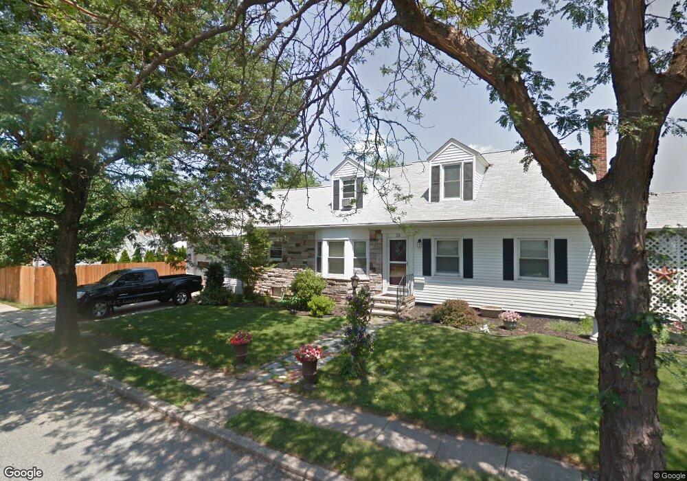
39 Garland Ave Cranston, RI 02910
Forest Hills NeighborhoodEstimated Value: $421,152 - $464,000
4
Beds
2
Baths
1,644
Sq Ft
$270/Sq Ft
Est. Value
About This Home
This home is located at 39 Garland Ave, Cranston, RI 02910 and is currently estimated at $443,538, approximately $269 per square foot. 39 Garland Ave is a home located in Providence County with nearby schools including Woodridge Elementary School, Western Hills Middle School, and Cranston High School West.
Ownership History
Date
Name
Owned For
Owner Type
Purchase Details
Closed on
Oct 30, 2003
Sold by
Pond Soneath and Pond Thyra
Bought by
Manocchia Edward and Manocchia Lorna
Current Estimated Value
Purchase Details
Closed on
Aug 6, 1996
Sold by
Stonehill Camille R
Bought by
Pond Soneath L and Tor Sunthorn Pond
Create a Home Valuation Report for This Property
The Home Valuation Report is an in-depth analysis detailing your home's value as well as a comparison with similar homes in the area
Home Values in the Area
Average Home Value in this Area
Purchase History
| Date | Buyer | Sale Price | Title Company |
|---|---|---|---|
| Manocchia Edward | $210,000 | -- | |
| Pond Soneath L | $103,000 | -- |
Source: Public Records
Mortgage History
| Date | Status | Borrower | Loan Amount |
|---|---|---|---|
| Open | Pond Soneath L | $245,500 | |
| Closed | Pond Soneath L | $20,000 | |
| Closed | Pond Soneath L | $240,000 |
Source: Public Records
Tax History
| Year | Tax Paid | Tax Assessment Tax Assessment Total Assessment is a certain percentage of the fair market value that is determined by local assessors to be the total taxable value of land and additions on the property. | Land | Improvement |
|---|---|---|---|---|
| 2025 | $5,179 | $373,100 | $99,100 | $274,000 |
| 2024 | $5,078 | $373,100 | $99,100 | $274,000 |
| 2023 | $5,061 | $267,800 | $68,300 | $199,500 |
| 2022 | $4,957 | $267,800 | $68,300 | $199,500 |
| 2021 | $4,820 | $267,800 | $68,300 | $199,500 |
| 2020 | $4,578 | $220,400 | $71,600 | $148,800 |
| 2019 | $4,578 | $220,400 | $71,600 | $148,800 |
| 2018 | $4,472 | $220,400 | $71,600 | $148,800 |
| 2017 | $4,535 | $197,700 | $65,100 | $132,600 |
| 2016 | $4,438 | $197,700 | $65,100 | $132,600 |
| 2015 | $4,438 | $197,700 | $65,100 | $132,600 |
| 2014 | $4,342 | $190,100 | $65,100 | $125,000 |
Source: Public Records
Map
Nearby Homes
- 29 Knollwood Ave
- 43 Knollwood Ave
- 25 Knollwood Ave
- 53 Garland Ave
- 34 Humbert Ave
- 36 Knollwood Ave
- 30 Humbert Ave
- 47 Knollwood Ave
- 54 Garland Ave
- 44 Knollwood Ave
- 23 Knollwood Ave
- 30 Knollwood Ave
- 26 Humbert Ave
- 48 Knollwood Ave
- 26 Knollwood Ave
- 27 Garland Ave
- 19 Knollwood Ave
- 59 Garland Ave
- 51 Knollwood Ave
- 58 Humbert Ave
Your Personal Tour Guide
Ask me questions while you tour the home.