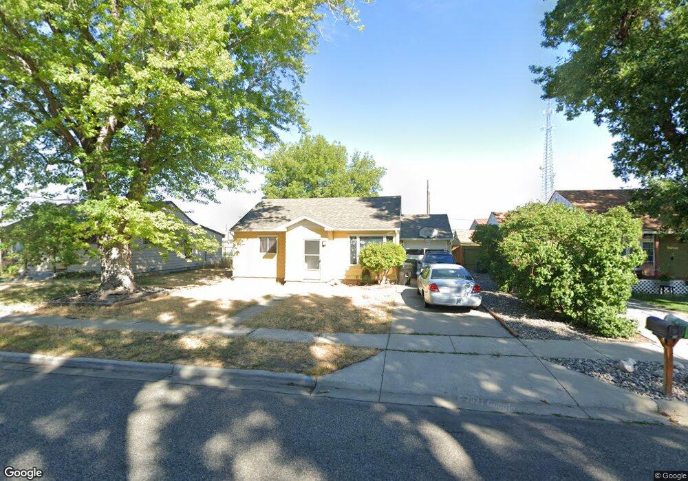
39 Macarthur Ave Billings, MT 59101
South Central Billings NeighborhoodEstimated Value: $245,000 - $279,000
3
Beds
1
Bath
1,080
Sq Ft
$239/Sq Ft
Est. Value
About This Home
This home is located at 39 Macarthur Ave, Billings, MT 59101 and is currently estimated at $257,841, approximately $238 per square foot. 39 Macarthur Ave is a home located in Yellowstone County with nearby schools including Newman School, Riverside Junior High School, and Billings West High School.
Ownership History
Date
Name
Owned For
Owner Type
Purchase Details
Closed on
Jun 23, 2014
Sold by
Muri Lynnette
Bought by
Hall April L
Current Estimated Value
Home Financials for this Owner
Home Financials are based on the most recent Mortgage that was taken out on this home.
Original Mortgage
$123,219
Outstanding Balance
$92,183
Interest Rate
3.77%
Mortgage Type
FHA
Estimated Equity
$165,658
Create a Home Valuation Report for This Property
The Home Valuation Report is an in-depth analysis detailing your home's value as well as a comparison with similar homes in the area
Home Values in the Area
Average Home Value in this Area
Purchase History
| Date | Buyer | Sale Price | Title Company |
|---|---|---|---|
| Hall April L | -- | Chicago Title |
Source: Public Records
Mortgage History
| Date | Status | Borrower | Loan Amount |
|---|---|---|---|
| Open | Hall April L | $123,219 |
Source: Public Records
Tax History
| Year | Tax Paid | Tax Assessment Tax Assessment Total Assessment is a certain percentage of the fair market value that is determined by local assessors to be the total taxable value of land and additions on the property. | Land | Improvement |
|---|---|---|---|---|
| 2025 | $2,063 | $249,400 | $39,895 | $209,505 |
| 2024 | $2,063 | $194,700 | $39,367 | $155,333 |
| 2023 | $2,020 | $194,700 | $39,367 | $155,333 |
| 2022 | $1,588 | $168,100 | $0 | $0 |
| 2021 | $1,845 | $168,100 | $0 | $0 |
| 2020 | $1,768 | $152,600 | $0 | $0 |
| 2019 | $1,688 | $152,600 | $0 | $0 |
| 2018 | $1,555 | $137,100 | $0 | $0 |
| 2017 | $1,511 | $137,100 | $0 | $0 |
| 2016 | $1,388 | $126,700 | $0 | $0 |
| 2015 | $1,367 | $126,700 | $0 | $0 |
| 2014 | $1,143 | $54,855 | $0 | $0 |
Source: Public Records
Map
Nearby Homes
- 44 Nimitz Dr
- 226 Moore Ln
- 1216 Eldorado Dr
- 1204 Eldorado Dr
- 43 Prickett Ln
- 1205 Lynn Ave
- 307 S Billings Blvd Unit 24
- 307 S Billings Blvd Unit 36
- 5437 Frontier Dr
- 5327 Frontier Dr Unit 2
- 1245 Cook Ave
- 4531 Phillip St
- 4530 Lux Ave
- 2155 Pueblo Dr
- 16 19th St W
- 4444 Morgan Ave
- 5255 Golden Hollow Rd
- 947 Howard Ave
- 2211 Dallas Dr
- 4413 Ryan Ave
- 39 Mac Arthur Ave
- 41 Macarthur Ave
- 37 Macarthur Ave
- 43 Macarthur Ave
- 35 Macarthur Ave
- 40 Mac Arthur Ave
- 33 Macarthur Ave
- 40 Macarthur Ave
- 42 Macarthur Ave
- 38 Macarthur Ave
- 36 Macarthur Ave
- 31 Macarthur Ave
- 11 Marshall Dr
- 34 Macarthur Ave
- 6 Marshall Dr
- 29 Macarthur Ave
- 8 Marshall Dr
- 32 Macarthur Ave
- 31 Berg Ave
- 10 Marshall Dr
Your Personal Tour Guide
Ask me questions while you tour the home.