39 Oak Island Rd Meredith, NH 03253
Estimated Value: $2,412,000 - $3,676,000
2
Beds
2
Baths
1,724
Sq Ft
$1,656/Sq Ft
Est. Value
About This Home
This home is located at 39 Oak Island Rd, Meredith, NH 03253 and is currently estimated at $2,854,085, approximately $1,655 per square foot. 39 Oak Island Rd is a home located in Belknap County with nearby schools including Inter-Lakes Elementary School, Sandwich Central School, and Inter-Lakes Middle High School.
Ownership History
Date
Name
Owned For
Owner Type
Purchase Details
Closed on
Jun 28, 2010
Sold by
Ferne C Sticht Ret
Bought by
Oak Island T
Current Estimated Value
Home Financials for this Owner
Home Financials are based on the most recent Mortgage that was taken out on this home.
Original Mortgage
$1,000,000
Outstanding Balance
$673,094
Interest Rate
4.98%
Mortgage Type
Purchase Money Mortgage
Estimated Equity
$2,180,991
Create a Home Valuation Report for This Property
The Home Valuation Report is an in-depth analysis detailing your home's value as well as a comparison with similar homes in the area
Home Values in the Area
Average Home Value in this Area
Purchase History
| Date | Buyer | Sale Price | Title Company |
|---|---|---|---|
| Oak Island T | $1,000,000 | -- |
Source: Public Records
Mortgage History
| Date | Status | Borrower | Loan Amount |
|---|---|---|---|
| Open | Oak Island T | $1,000,000 |
Source: Public Records
Tax History Compared to Growth
Tax History
| Year | Tax Paid | Tax Assessment Tax Assessment Total Assessment is a certain percentage of the fair market value that is determined by local assessors to be the total taxable value of land and additions on the property. | Land | Improvement |
|---|---|---|---|---|
| 2024 | $27,182 | $2,649,300 | $2,187,800 | $461,500 |
| 2023 | $26,202 | $2,649,300 | $2,187,800 | $461,500 |
| 2022 | $22,376 | $1,601,700 | $1,248,500 | $353,200 |
| 2021 | $21,430 | $1,595,700 | $1,248,500 | $347,200 |
| 2020 | $22,321 | $1,592,100 | $1,248,500 | $343,600 |
| 2019 | $21,007 | $1,322,000 | $1,009,900 | $312,100 |
| 2018 | $20,656 | $1,322,400 | $1,009,900 | $312,500 |
| 2016 | $18,217 | $1,168,500 | $1,037,400 | $131,100 |
| 2015 | $17,749 | $1,167,700 | $1,037,400 | $130,300 |
| 2014 | $17,292 | $1,166,000 | $1,037,400 | $128,600 |
| 2013 | $16,802 | $1,166,000 | $1,037,400 | $128,600 |
Source: Public Records
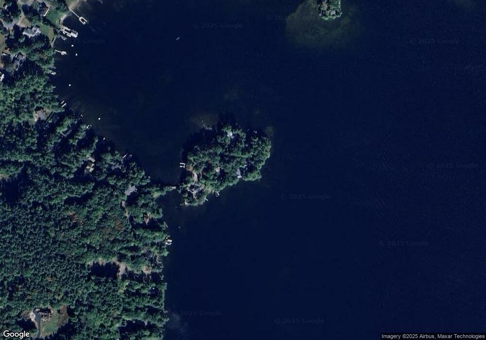
Map
Nearby Homes
- 11 Quimby Rd
- 24 Stonedam Island Rd
- 41 Happy Homes Rd
- 18 Chicadee Ln
- 765 Scenic Rd
- 113-117 Pinnacle Park Rd
- 103 Meredith Neck Rd
- 2 Harris Rd
- 37
- 00 Nh Rte 132 Route
- 70 Pinnacle Park Rd
- 94 Soleil Mountain Unit 8
- 85 Blueberry Hill Rd
- 6 Windjammer's Ridge
- Lot 12-5 Needle Eye Rd
- Lot 12-3 Needle Eye Rd
- 23 Deadreckoning Point
- 26 Lovejoy Ln
- 8 Deadreckoning Point
- 126 Soleil Mountain
- 37 Oak Island Rd
- 33 Oak Island Rd
- 4 Observatory Rd
- 26 Oak Island Rd
- 8 Observatory Rd
- 24 Oak Island Rd
- 10 Observatory Rd
- 12 Observatory Rd
- 12 Observatory Rd Unit Lot 28 + Lot 29
- 12 Observatory Rd Unit Lot 28 + Lot 29 (11
- 22 Oak Island Rd
- 14 Observatory Rd
- 18 Oak Island Rd
- 16 Observatory Rd
- 16 Oak Island Rd
- 18 Observatory Rd
- 14 Oak Island Rd Unit 14
- 14 Oak Island Rd
- 20 Observatory Rd
- 12 Oak Island Rd