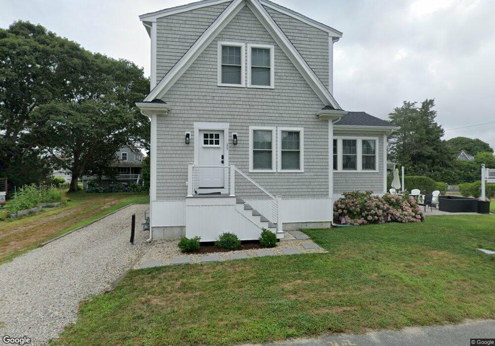
39 Tide Way Rd Pocasset, MA 2559
Pocasset NeighborhoodEstimated Value: $736,000 - $1,000,000
2
Beds
3
Baths
1,470
Sq Ft
$599/Sq Ft
Est. Value
About This Home
This home is located at 39 Tide Way Rd, Pocasset, MA 2559 and is currently estimated at $880,140, approximately $598 per square foot. 39 Tide Way Rd is a home located in Barnstable County with nearby schools including Bourne High School and Cadence Academy Preschool - Bourne.
Ownership History
Date
Name
Owned For
Owner Type
Purchase Details
Closed on
May 15, 2015
Sold by
Malone Meghan R and Malone Thomas J
Bought by
Ellerbrook Michael M and Ellerbrook Lauren
Current Estimated Value
Home Financials for this Owner
Home Financials are based on the most recent Mortgage that was taken out on this home.
Original Mortgage
$228,650
Outstanding Balance
$175,188
Interest Rate
3.69%
Mortgage Type
New Conventional
Estimated Equity
$704,952
Purchase Details
Closed on
Oct 16, 2009
Sold by
Litvak Steven I and Litvak Susan C
Bought by
Malone Meghan R and Malone Thomas J
Home Financials for this Owner
Home Financials are based on the most recent Mortgage that was taken out on this home.
Original Mortgage
$200,000
Interest Rate
5.14%
Mortgage Type
Purchase Money Mortgage
Create a Home Valuation Report for This Property
The Home Valuation Report is an in-depth analysis detailing your home's value as well as a comparison with similar homes in the area
Home Values in the Area
Average Home Value in this Area
Purchase History
| Date | Buyer | Sale Price | Title Company |
|---|---|---|---|
| Ellerbrook Michael M | $320,000 | -- | |
| Ellerbrook Michael M | $320,000 | -- | |
| Ellerbrook Michael M | $320,000 | -- | |
| Malone Meghan R | $305,000 | -- | |
| Malone Meghan R | $305,000 | -- |
Source: Public Records
Mortgage History
| Date | Status | Borrower | Loan Amount |
|---|---|---|---|
| Open | Ellerbrook Michael M | $228,650 | |
| Closed | Ellerbrook Michael M | $228,650 | |
| Previous Owner | Malone Meghan R | $200,000 |
Source: Public Records
Tax History
| Year | Tax Paid | Tax Assessment Tax Assessment Total Assessment is a certain percentage of the fair market value that is determined by local assessors to be the total taxable value of land and additions on the property. | Land | Improvement |
|---|---|---|---|---|
| 2025 | $6,124 | $784,100 | $425,300 | $358,800 |
| 2024 | $5,760 | $718,200 | $405,000 | $313,200 |
| 2023 | $5,220 | $592,500 | $315,400 | $277,100 |
| 2022 | $4,715 | $467,300 | $247,400 | $219,900 |
| 2021 | $4,580 | $425,300 | $225,200 | $200,100 |
| 2020 | $3,103 | $288,900 | $223,000 | $65,900 |
| 2019 | $2,999 | $285,300 | $223,000 | $62,300 |
| 2018 | $2,883 | $273,500 | $217,900 | $55,600 |
| 2017 | $3,012 | $292,400 | $237,400 | $55,000 |
| 2016 | $3,025 | $297,700 | $215,800 | $81,900 |
| 2015 | $2,516 | $249,900 | $215,800 | $34,100 |
Source: Public Records
Map
Nearby Homes
- 14 Navajo Rd
- 254 Barlows Landing Rd
- 16 Michael Rd
- 709 County Rd
- 566 Shore Rd
- 3 1st St
- 3 4th Ave
- 7 4th Ave
- 48 Red Brook Harbor Rd
- 75 Winsor Rd
- 20 Colony Ave
- 1234 Route 28a
- 248 Great Neck Rd
- 1234 Route 28a
- 15 Oak Ave
- 203 County Rd
- 4 Harbor Hill Dr
- 35 Benedict Rd
- 16 Amberwood Ct
- 12 Turnberry Rd Unit 12
- 33 Tide Way Rd
- 33 Tideway Rd
- 39 Wenaumet Bluff Dr
- 34 Tide Way Rd
- 40 Tide Way Rd
- 33 Wenaumet Bluff Dr
- 31 Tide Way Rd
- 29 Wenaumet Bluff Dr
- 30 Tide Way Rd
- 25 Wenaumet Bluff Dr
- 46 N Shore Rd
- 48 N Shore Rd
- 51 Tide Way Rd
- 50 Tide Way Rd
- 4 Arrowhead Dr
- 23 Wenaumet Bluff Dr
- 35 Chickadee Ln
- 24 Tide Way Rd
- 52 Tide Way Rd
- 21 Wenaumet Bluff Dr
Your Personal Tour Guide
Ask me questions while you tour the home.