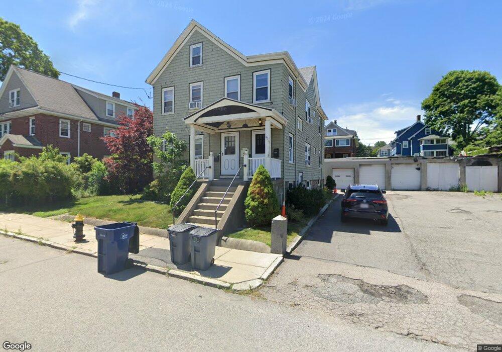
39 Wellsmere Rd Roslindale, MA 02131
Roslindale NeighborhoodEstimated Value: $826,622
5
Beds
2
Baths
5,050
Sq Ft
$164/Sq Ft
Est. Value
About This Home
This home is located at 39 Wellsmere Rd, Roslindale, MA 02131 and is currently estimated at $826,622, approximately $163 per square foot. 39 Wellsmere Rd is a home located in Suffolk County with nearby schools including Brooke Charter School Roslindale, Sacred Heart STEM School, and St. Clare High School.
Ownership History
Date
Name
Owned For
Owner Type
Purchase Details
Closed on
Nov 21, 1994
Sold by
Wellsmere Rd Nt
Bought by
Gosse Scott
Current Estimated Value
Home Financials for this Owner
Home Financials are based on the most recent Mortgage that was taken out on this home.
Original Mortgage
$162,400
Interest Rate
8.9%
Mortgage Type
Commercial
Create a Home Valuation Report for This Property
The Home Valuation Report is an in-depth analysis detailing your home's value as well as a comparison with similar homes in the area
Home Values in the Area
Average Home Value in this Area
Purchase History
| Date | Buyer | Sale Price | Title Company |
|---|---|---|---|
| Gosse Scott | $203,000 | -- |
Source: Public Records
Mortgage History
| Date | Status | Borrower | Loan Amount |
|---|---|---|---|
| Open | Gosse Scott | $750,000 | |
| Closed | Gosse Scott | $292,000 | |
| Closed | Gosse Scott | $162,400 |
Source: Public Records
Tax History Compared to Growth
Tax History
| Year | Tax Paid | Tax Assessment Tax Assessment Total Assessment is a certain percentage of the fair market value that is determined by local assessors to be the total taxable value of land and additions on the property. | Land | Improvement |
|---|---|---|---|---|
| 2025 | -- | $589,900 | $386,800 | $203,100 |
| 2024 | -- | $601,300 | $386,800 | $214,500 |
| 2023 | $0 | $493,000 | $386,800 | $106,200 |
| 2022 | $0 | $470,300 | $386,800 | $83,500 |
| 2021 | $0 | $567,700 | $320,200 | $247,500 |
| 2020 | $0 | $563,400 | $320,200 | $243,200 |
| 2019 | $0 | $560,000 | $348,400 | $211,600 |
| 2018 | $0 | $544,000 | $348,400 | $195,600 |
| 2017 | $0 | $521,000 | $329,200 | $191,800 |
| 2016 | -- | $463,000 | $300,000 | $163,000 |
| 2015 | -- | $406,000 | $152,500 | $253,500 |
| 2014 | -- | $354,000 | $138,000 | $216,000 |
Source: Public Records
Map
Nearby Homes
- 34 Averton St
- 0 Averton St
- 276 Cornell St
- 55 Metropolitan Ave
- 142 Birch St
- 142 Birch St Unit 1
- 142 Birch St Unit 2
- 112 Roslindale Ave Unit 2
- 69 Metropolitan Ave
- 80 Roslindale Ave Unit 3
- 295 Kittredge St
- 17 Metcalf St
- 5 7 Hemman St
- 95 Newburg St
- 124 Glendower Rd Unit 2
- 15 Newburg St Unit 1
- 65 Birch St Unit 3
- 59 Aldrich St Unit 2
- 103 Belgrade Ave Unit 2
- 142 Metropolitan Ave Unit A
- 29 Wellsmere Rd
- 43 Wellsmere Rd Unit 45
- 243 Cornell St
- 32 Wellsmere Rd Unit 2
- 32 Wellsmere Rd Unit 1
- 38 Wellsmere Rd
- 239 Cornell St
- 239 Cornell St Unit 1
- 239 Cornell St Unit 3
- 247 Cornell St
- 247 Cornell St Unit 1
- 233 Cornell St
- 27 Wellsmere Rd
- 27 Wellsmere Rd Unit 2
- 27 Wellsmere Rd Unit 1
- 40 Wellsmere Rd
- 30 Wellsmere Rd
- 26 Wellsmere Rd Unit 1
- 26 Wellsmere Rd
- 251 Cornell St