390 Antelope Dr Dillon, MT 59725
Estimated Value: $429,760 - $451,000
3
Beds
3
Baths
1,480
Sq Ft
$297/Sq Ft
Est. Value
About This Home
This home is located at 390 Antelope Dr, Dillon, MT 59725 and is currently estimated at $438,920, approximately $296 per square foot. 390 Antelope Dr is a home located in Beaverhead County with nearby schools including Parkview School, Dillon Middle School, and Beaverhead Co High School.
Ownership History
Date
Name
Owned For
Owner Type
Purchase Details
Closed on
Jun 28, 2010
Sold by
Lane Bryce C
Bought by
Lane Bryce C and Lane Neil
Current Estimated Value
Purchase Details
Closed on
Apr 9, 2010
Sold by
Guiberson Donald F and Guiberson Emily A
Bought by
Lane Bryce C
Home Financials for this Owner
Home Financials are based on the most recent Mortgage that was taken out on this home.
Original Mortgage
$106,000
Outstanding Balance
$33,227
Interest Rate
5.01%
Mortgage Type
New Conventional
Estimated Equity
$405,693
Create a Home Valuation Report for This Property
The Home Valuation Report is an in-depth analysis detailing your home's value as well as a comparison with similar homes in the area
Purchase History
| Date | Buyer | Sale Price | Title Company |
|---|---|---|---|
| Lane Bryce C | -- | None Available | |
| Lane Bryce C | -- | None Available |
Source: Public Records
Mortgage History
| Date | Status | Borrower | Loan Amount |
|---|---|---|---|
| Open | Lane Bryce C | $106,000 |
Source: Public Records
Tax History
| Year | Tax Paid | Tax Assessment Tax Assessment Total Assessment is a certain percentage of the fair market value that is determined by local assessors to be the total taxable value of land and additions on the property. | Land | Improvement |
|---|---|---|---|---|
| 2025 | $1,658 | $389,000 | $0 | $0 |
| 2024 | $2,341 | $354,700 | $0 | $0 |
| 2023 | $2,364 | $354,700 | $0 | $0 |
| 2022 | $2,115 | $256,200 | $0 | $0 |
| 2021 | $2,055 | $256,200 | $0 | $0 |
| 2020 | $1,841 | $216,700 | $0 | $0 |
| 2019 | $1,819 | $216,700 | $0 | $0 |
| 2018 | $1,690 | $191,700 | $0 | $0 |
| 2017 | $1,703 | $191,700 | $0 | $0 |
| 2016 | $1,477 | $180,100 | $0 | $0 |
| 2015 | -- | $180,100 | $0 | $0 |
| 2014 | -- | $92,591 | $0 | $0 |
Source: Public Records
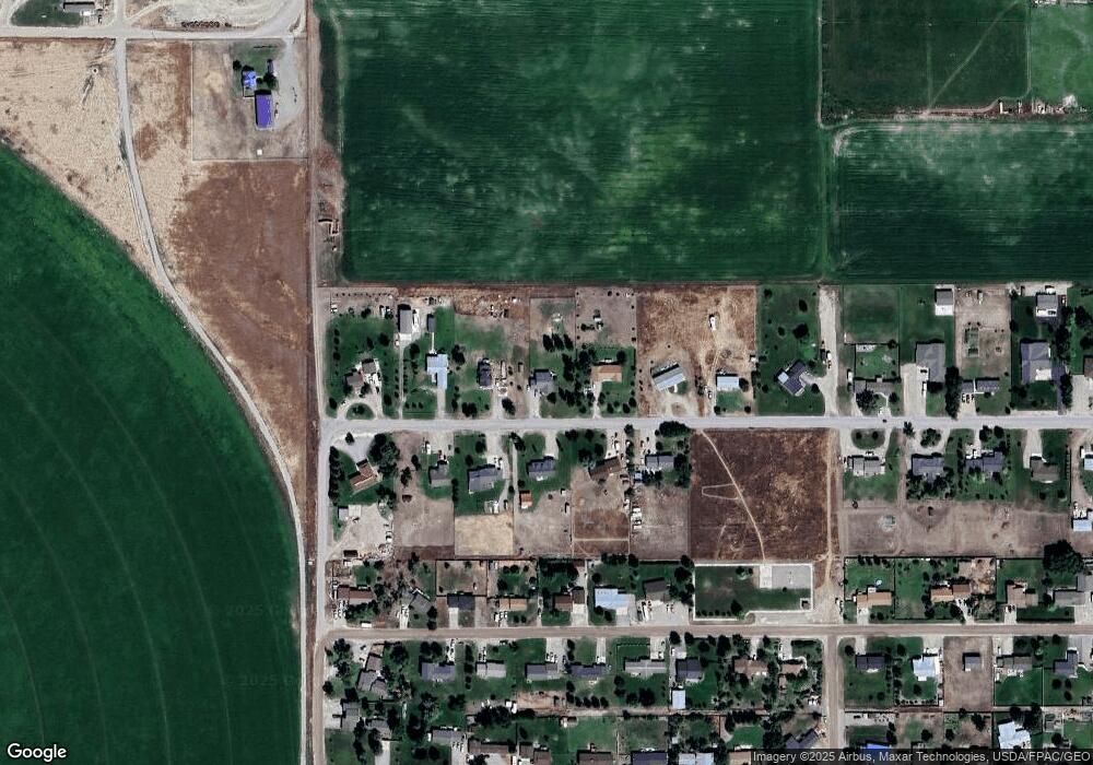
Map
Nearby Homes
- 355 Buffalo Dr
- 15 Wendy Ln
- 1335 Cattle Dr
- 1390 Cattle Dr
- 650 Frying Pan Rd
- 190 Tenderfoot Trail
- 710 Gamblers Run
- 250 Pioneer Dr
- 335 Expedition Dr
- 600 Blue Ribbon Ln
- 500 Arrigoni Ln
- 355 Meriwether Ln
- 467 Taylor Dr
- 1070 Lovers Leap Rd
- 1325 Lovers Leap Rd
- 9 Skihi St
- 43 Tobacco Root Rd
- 31 Tobacco Root Rd
- 343 N Montana St
- 104 Timmons
- 3600 Antelope Dr
- 406 Antelope Dr
- 350 Antelope Dr
- 383 Antelope Dr
- 355 Antelope Dr
- 432 Antelope Dr
- 320 Antelope Dr
- 3400 Antelope Dr
- 435 Antelope Dr
- 327 Antelope Dr
- 460 Antelope Dr
- 475 Antelope Dr
- 368 Buffalo Dr
- 346 Buffalo Dr
- 396 Buffalo Dr
- 250 Antelope Dr
- 416 Buffalo Dr
- 326 Buffalo Dr
- 444 Buffalo Dr
- 3525 Buffalo Dr
Your Personal Tour Guide
Ask me questions while you tour the home.