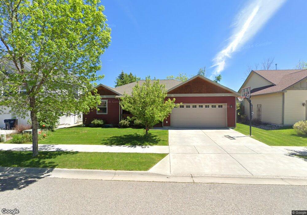
390 Christopher Way Bozeman, MT 59718
Valley Unit NeighborhoodEstimated Value: $653,014 - $697,000
3
Beds
2
Baths
1,836
Sq Ft
$368/Sq Ft
Est. Value
About This Home
This home is located at 390 Christopher Way, Bozeman, MT 59718 and is currently estimated at $675,004, approximately $367 per square foot. 390 Christopher Way is a home located in Gallatin County with nearby schools including Hyalite Elementary School, Sacajawea Middle School, and Gallatin High School.
Ownership History
Date
Name
Owned For
Owner Type
Purchase Details
Closed on
Jun 26, 2008
Sold by
G & C Construction Llc
Bought by
Heys Landa W and Heys Jeffrey J
Current Estimated Value
Home Financials for this Owner
Home Financials are based on the most recent Mortgage that was taken out on this home.
Original Mortgage
$213,400
Outstanding Balance
$137,111
Interest Rate
5.99%
Mortgage Type
Purchase Money Mortgage
Estimated Equity
$537,893
Purchase Details
Closed on
May 30, 2007
Sold by
Greenwing Teal Llc
Bought by
G & C Construction Llc
Create a Home Valuation Report for This Property
The Home Valuation Report is an in-depth analysis detailing your home's value as well as a comparison with similar homes in the area
Home Values in the Area
Average Home Value in this Area
Purchase History
| Date | Buyer | Sale Price | Title Company |
|---|---|---|---|
| Heys Landa W | -- | It | |
| G & C Construction Llc | -- | Stewart Title Of Bozeman |
Source: Public Records
Mortgage History
| Date | Status | Borrower | Loan Amount |
|---|---|---|---|
| Open | Heys Landa W | $213,400 |
Source: Public Records
Tax History
| Year | Tax Paid | Tax Assessment Tax Assessment Total Assessment is a certain percentage of the fair market value that is determined by local assessors to be the total taxable value of land and additions on the property. | Land | Improvement |
|---|---|---|---|---|
| 2025 | $3,104 | $679,100 | $0 | $0 |
| 2024 | $4,408 | $662,200 | $0 | $0 |
| 2023 | $4,265 | $662,200 | $0 | $0 |
| 2022 | $3,182 | $415,000 | $0 | $0 |
| 2021 | $3,511 | $415,000 | $0 | $0 |
| 2020 | $3,054 | $357,300 | $0 | $0 |
| 2019 | $3,123 | $357,300 | $0 | $0 |
| 2018 | $2,816 | $298,500 | $0 | $0 |
| 2017 | $2,783 | $298,500 | $0 | $0 |
| 2016 | $2,366 | $250,600 | $0 | $0 |
| 2015 | $2,369 | $250,600 | $0 | $0 |
| 2014 | $2,409 | $150,043 | $0 | $0 |
Source: Public Records
Map
Nearby Homes
- 520 Valley Dr
- Lot 11 Fowler Ave
- 309 Meriwether Ave
- 560 Christopher Way
- 350 Meriwether Ave
- 454 Meriwether Ave
- 470 Meriwether Ave
- 488 Meriwether Ave
- 3016 W Villard St Unit 2B
- 3108 Oliver St
- 8 N Eldorado Ave
- 357 Swayback Ln
- 330 Swayback Ln
- 111 White Horse Loop
- 515 Michael Grove Ave Unit 60
- 515 Michael Grove Ave Unit 42
- 10 Caymus Ln Unit D
- 433 N Hunters Way
- 3263 Annie St
- 887 Hanson St
- 382 Christopher Way
- 402 Christopher Way
- 387 Christopher Way
- 364 Christopher Way
- LOT 30 Christopher Way
- L1, B2 Christopher Way
- TBD Christopher Way
- L27 B1 Christopher Way
- L26 B1 Christopher Way
- L4 B1 Christopher Way
- L7 B2 Christopher Way
- 379 Christopher Way
- 395 N Valley Dr
- 416 Christopher Way
- 363 Christopher Way
- 342 Christopher Way
- 407 Christopher Way
- 441 N Valley Dr
- 315 N Valley Dr
- 353 Christopher Way
Your Personal Tour Guide
Ask me questions while you tour the home.