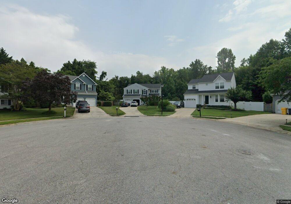
390 Long Meadow Way Arnold, MD 21012
Estimated Value: $639,816 - $776,000
--
Bed
3
Baths
2,368
Sq Ft
$293/Sq Ft
Est. Value
About This Home
This home is located at 390 Long Meadow Way, Arnold, MD 21012 and is currently estimated at $694,454, approximately $293 per square foot. 390 Long Meadow Way is a home located in Anne Arundel County with nearby schools including Belvedere Elementary School, Severn River Middle School, and Broadneck High School.
Ownership History
Date
Name
Owned For
Owner Type
Purchase Details
Closed on
Jun 9, 1998
Sold by
Phipps Sandra B
Bought by
Phipps Laura W
Current Estimated Value
Purchase Details
Closed on
Jan 13, 1995
Sold by
Mandrin Construction Co Inc
Bought by
Phipps Sander B
Home Financials for this Owner
Home Financials are based on the most recent Mortgage that was taken out on this home.
Original Mortgage
$160,700
Interest Rate
9.23%
Create a Home Valuation Report for This Property
The Home Valuation Report is an in-depth analysis detailing your home's value as well as a comparison with similar homes in the area
Home Values in the Area
Average Home Value in this Area
Purchase History
| Date | Buyer | Sale Price | Title Company |
|---|---|---|---|
| Phipps Laura W | -- | -- | |
| Phipps Sander B | $200,895 | -- |
Source: Public Records
Mortgage History
| Date | Status | Borrower | Loan Amount |
|---|---|---|---|
| Previous Owner | Phipps Sander B | $160,700 |
Source: Public Records
Tax History Compared to Growth
Tax History
| Year | Tax Paid | Tax Assessment Tax Assessment Total Assessment is a certain percentage of the fair market value that is determined by local assessors to be the total taxable value of land and additions on the property. | Land | Improvement |
|---|---|---|---|---|
| 2025 | $4,249 | $515,633 | -- | -- |
| 2024 | $4,249 | $490,500 | $239,100 | $251,400 |
| 2023 | $4,133 | $477,133 | $0 | $0 |
| 2022 | $3,866 | $463,767 | $0 | $0 |
| 2021 | $7,588 | $450,400 | $224,100 | $226,300 |
| 2020 | $3,684 | $437,533 | $0 | $0 |
| 2019 | $3,617 | $424,667 | $0 | $0 |
| 2018 | $4,176 | $411,800 | $189,300 | $222,500 |
| 2017 | $3,407 | $407,567 | $0 | $0 |
| 2016 | -- | $403,333 | $0 | $0 |
| 2015 | -- | $399,100 | $0 | $0 |
| 2014 | -- | $399,100 | $0 | $0 |
Source: Public Records
Map
Nearby Homes
- 1078 Brightleaf Ct
- 317 Long Meadow Way
- 832 Clifton Ave
- 303 Ternwing Dr
- 249 Overleaf Dr
- 276 Overleaf Dr
- 0 Moore Rd
- 1215 Driftwood Ct
- 1232 Taylor Ave
- 1277 Ritchie Hwy Unit 195
- 516 Norton Ln
- 243 and 245 Haverton Rd
- 1199 Asquithpines Place
- 1256 Crowell Ct
- Severn Plan at Ford's Grant
- Newport Plan at Ford's Grant
- Magothy Plan at Ford's Grant
- 00 Mazie
- 884 Willys Dr
- 0000 Mazie
- 392 Long Meadow Way
- 388 Long Meadow Way
- 386 Long Meadow Way
- 391 Long Meadow Way
- 384 Long Meadow Way
- 387 Long Meadow Way
- 389 Long Meadow Way
- 385 Long Meadow Way
- 382 Long Meadow Way
- 365 Jones Station Rd
- 383 Long Meadow Way
- 380 Long Meadow Way
- 393 Stanford Ct
- 381 Long Meadow Way
- 395 Stanford Ct
- 385 Mattapany Ct
- 387 Mattapany Ct
- 391 Stanford Ct
- 383 Mattapany Ct
- 397 Stanford Ct