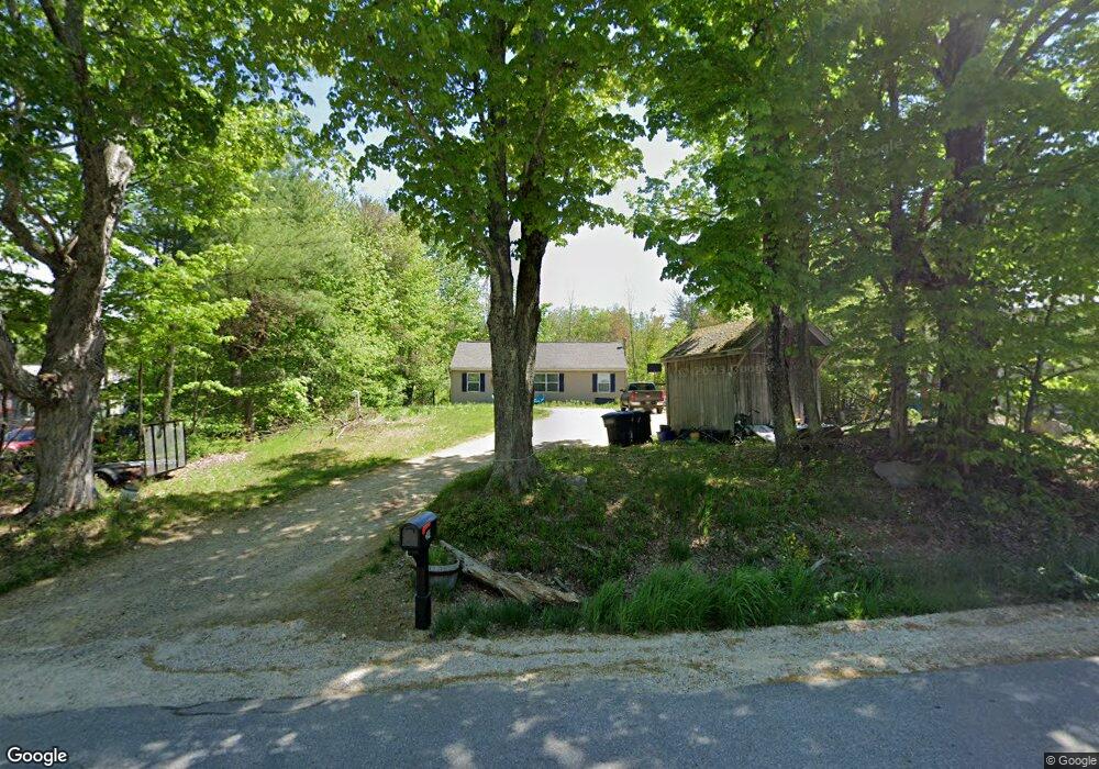
390 N Barnstead Rd Center Barnstead, NH 03225
Estimated Value: $358,000 - $412,000
3
Beds
2
Baths
1,056
Sq Ft
$370/Sq Ft
Est. Value
About This Home
This home is located at 390 N Barnstead Rd, Center Barnstead, NH 03225 and is currently estimated at $391,004, approximately $370 per square foot. 390 N Barnstead Rd is a home located in Belknap County with nearby schools including Barnstead Elementary School and Prospect Mountain High School.
Ownership History
Date
Name
Owned For
Owner Type
Purchase Details
Closed on
Jun 19, 2012
Sold by
Griffin James
Bought by
Vardaro Michael J
Current Estimated Value
Purchase Details
Closed on
Jun 17, 2010
Sold by
Piscatello Richard J and Piscatello Brenda A
Bought by
Fhlmc
Purchase Details
Closed on
Dec 26, 2001
Sold by
Omeara Stephen and Omeara Dary
Bought by
Piscatello Richard J and Piscatello Brenda A
Home Financials for this Owner
Home Financials are based on the most recent Mortgage that was taken out on this home.
Original Mortgage
$117,967
Interest Rate
6.61%
Mortgage Type
Purchase Money Mortgage
Create a Home Valuation Report for This Property
The Home Valuation Report is an in-depth analysis detailing your home's value as well as a comparison with similar homes in the area
Home Values in the Area
Average Home Value in this Area
Purchase History
| Date | Buyer | Sale Price | Title Company |
|---|---|---|---|
| Vardaro Michael J | $115,000 | -- | |
| Vardaro Michael J | $115,000 | -- | |
| Fhlmc | $116,900 | -- | |
| Fhlmc | $116,900 | -- | |
| Piscatello Richard J | $118,900 | -- | |
| Piscatello Richard J | $118,900 | -- |
Source: Public Records
Mortgage History
| Date | Status | Borrower | Loan Amount |
|---|---|---|---|
| Previous Owner | Piscatello Richard J | $75,000 | |
| Previous Owner | Piscatello Richard J | $117,967 |
Source: Public Records
Tax History Compared to Growth
Tax History
| Year | Tax Paid | Tax Assessment Tax Assessment Total Assessment is a certain percentage of the fair market value that is determined by local assessors to be the total taxable value of land and additions on the property. | Land | Improvement |
|---|---|---|---|---|
| 2024 | $4,805 | $294,600 | $108,400 | $186,200 |
| 2023 | $4,228 | $294,600 | $108,400 | $186,200 |
| 2022 | $3,968 | $183,700 | $56,000 | $127,700 |
| 2021 | $4,403 | $183,700 | $56,000 | $127,700 |
| 2020 | $7,368 | $190,600 | $56,000 | $134,600 |
| 2019 | $4,351 | $190,600 | $56,000 | $134,600 |
| 2018 | $7,240 | $190,600 | $56,000 | $134,600 |
| 2017 | $3,904 | $135,100 | $33,600 | $101,500 |
| 2016 | $3,681 | $135,100 | $33,600 | $101,500 |
| 2015 | $3,668 | $135,100 | $33,600 | $101,500 |
| 2014 | $3,527 | $147,200 | $42,400 | $104,800 |
| 2013 | $3,459 | $147,200 | $42,400 | $104,800 |
Source: Public Records
Map
Nearby Homes
- 8 Brookwood Dr
- 9 Nutter Cir
- 7 Brenton Ln
- 248 Varney Rd
- O N Shore Dr
- 0 Corner North Shore Dr Unit 446 5054482
- 21 Shelburne Ln
- 28 Dalton Dr
- 956 N Barnstead Rd
- 0 Crescent Dr Unit 5026960
- 96 Damsite Rd
- 24 Danbury Rd
- 17 Prospect Mountain Rd
- 0 Andover Dr Unit 106 5059711
- 25 Vail Rd
- 0 Chamberlain Rd Unit 11 5061842
- 77 Vail Rd
- 38 Chapelle Rd
- 77 Holmes Rd
- 109 Vail Rd
- 396 N Barnstead Rd
- 388 N Barnstead Rd
- 48 Blueberry Ln
- 442 N Barnstead Rd
- 398 N Barnstead Rd
- 382 N Barnstead Rd
- 383 N Barnstead Rd
- 46 Blueberry Ln
- 399 N Barnstead Rd
- 0 Monroe Dr
- 379 N Barnstead Rd
- Lot 26-5 Blueberry Ln
- 341 Varney Rd
- Lot 9 Munroe Blueberry
- 125 Winwood Dr
- 139 Winwood Dr
- 426 N Barnstead Rd
- 143 Winwood Dr
- 143 Win-Wood Dr
- 337 Varney Rd