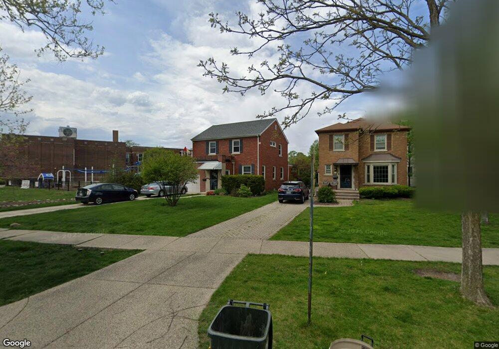
390 Repton Rd Riverside, IL 60546
Estimated Value: $538,000 - $709,000
4
Beds
3
Baths
2,054
Sq Ft
$298/Sq Ft
Est. Value
About This Home
This home is located at 390 Repton Rd, Riverside, IL 60546 and is currently estimated at $612,452, approximately $298 per square foot. 390 Repton Rd is a home located in Cook County with nearby schools including A F Ames Elementary School, L J Hauser Jr High School, and Riverside Brookfield High School.
Ownership History
Date
Name
Owned For
Owner Type
Purchase Details
Closed on
Mar 7, 2005
Sold by
Goldberg Janice
Bought by
Goldber Janice and Janice Goldberg Trust
Current Estimated Value
Purchase Details
Closed on
Oct 2, 1993
Sold by
Goldberg Janice Shapiro
Bought by
Goldberg Janice S and Shapiro Ray
Home Financials for this Owner
Home Financials are based on the most recent Mortgage that was taken out on this home.
Original Mortgage
$97,000
Interest Rate
7.05%
Purchase Details
Closed on
Jun 30, 1993
Sold by
Goldberg Alan D
Bought by
Goldberg Janice Shapiro
Create a Home Valuation Report for This Property
The Home Valuation Report is an in-depth analysis detailing your home's value as well as a comparison with similar homes in the area
Home Values in the Area
Average Home Value in this Area
Purchase History
| Date | Buyer | Sale Price | Title Company |
|---|---|---|---|
| Goldber Janice | -- | -- | |
| Gochenour Thomas | -- | -- | |
| Gochenour Thomas | -- | -- | |
| Goldberg Janice S | -- | -- | |
| Goldberg Janice Shapiro | -- | -- |
Source: Public Records
Mortgage History
| Date | Status | Borrower | Loan Amount |
|---|---|---|---|
| Closed | Goldberg Janice S | $97,000 |
Source: Public Records
Tax History
| Year | Tax Paid | Tax Assessment Tax Assessment Total Assessment is a certain percentage of the fair market value that is determined by local assessors to be the total taxable value of land and additions on the property. | Land | Improvement |
|---|---|---|---|---|
| 2025 | $14,406 | $51,000 | $8,676 | $42,324 |
| 2024 | $14,406 | $51,000 | $8,676 | $42,324 |
| 2023 | $13,388 | $51,000 | $8,676 | $42,324 |
| 2022 | $13,388 | $41,111 | $7,592 | $33,519 |
| 2021 | $12,924 | $41,110 | $7,591 | $33,519 |
| 2020 | $12,647 | $41,110 | $7,591 | $33,519 |
| 2019 | $11,971 | $40,185 | $6,940 | $33,245 |
| 2018 | $12,555 | $40,185 | $6,940 | $33,245 |
| 2017 | $12,167 | $40,185 | $6,940 | $33,245 |
| 2016 | $12,866 | $39,031 | $6,073 | $32,958 |
| 2015 | $12,528 | $39,031 | $6,073 | $32,958 |
| 2014 | $12,332 | $39,031 | $6,073 | $32,958 |
| 2013 | $12,089 | $41,381 | $6,073 | $35,308 |
Source: Public Records
Map
Nearby Homes
- 101 Southcote Rd
- 410 Repton Rd
- 315 Bartram Rd
- 367 Bartram Rd
- 305 Desplaines Ave
- 231 Bartram Rd
- 2527 Keystone Ave
- 2433 Keystone Ave
- 8117 W 30th St
- 236 Maplewood Rd
- 269 Shenstone Rd
- 2311 Park Ave
- 220 Maplewood Rd
- 2252 Northgate Ave
- 2245 Des Plaines Ave Unit A
- 478 Kent Rd
- 562 Byrd Rd
- 2230 Keystone Ave
- 2233 Des Plaines Ave
- 193 Herrick Rd
Your Personal Tour Guide
Ask me questions while you tour the home.