390 Snead Dr N Keizer, OR 97303
Estimated Value: $652,000 - $1,116,000
2
Beds
7
Baths
2,710
Sq Ft
$295/Sq Ft
Est. Value
About This Home
This home is located at 390 Snead Dr N, Keizer, OR 97303 and is currently estimated at $798,910, approximately $294 per square foot. 390 Snead Dr N is a home located in Marion County with nearby schools including Keizer Elementary School, Claggett Creek Middle School, and McNary High School.
Ownership History
Date
Name
Owned For
Owner Type
Purchase Details
Closed on
Apr 18, 2002
Sold by
Rux Lolita R
Bought by
Rux Lolita R and Lolita R Rux Revocable Living Trust
Current Estimated Value
Purchase Details
Closed on
Jul 20, 2001
Sold by
Whelchel Gary G and Whelchel Phyllis L
Bought by
Rux Lolita R and Martinmaas David L
Home Financials for this Owner
Home Financials are based on the most recent Mortgage that was taken out on this home.
Original Mortgage
$116,000
Interest Rate
7.21%
Create a Home Valuation Report for This Property
The Home Valuation Report is an in-depth analysis detailing your home's value as well as a comparison with similar homes in the area
Home Values in the Area
Average Home Value in this Area
Purchase History
| Date | Buyer | Sale Price | Title Company |
|---|---|---|---|
| Rux Lolita R | -- | -- | |
| Rux Lolita R | $310,000 | First American |
Source: Public Records
Mortgage History
| Date | Status | Borrower | Loan Amount |
|---|---|---|---|
| Closed | Rux Lolita R | $116,000 |
Source: Public Records
Tax History Compared to Growth
Tax History
| Year | Tax Paid | Tax Assessment Tax Assessment Total Assessment is a certain percentage of the fair market value that is determined by local assessors to be the total taxable value of land and additions on the property. | Land | Improvement |
|---|---|---|---|---|
| 2025 | $6,160 | $375,030 | -- | -- |
| 2024 | $6,160 | $364,116 | -- | -- |
| 2023 | $6,777 | $433,360 | $0 | $0 |
| 2022 | $6,381 | $420,740 | $0 | $0 |
| 2021 | $6,179 | $408,490 | $0 | $0 |
| 2020 | $6,014 | $373,920 | $0 | $0 |
| 2019 | $5,780 | $363,030 | $0 | $0 |
| 2018 | $5,878 | $0 | $0 | $0 |
| 2017 | $5,272 | $0 | $0 | $0 |
| 2016 | $5,026 | $0 | $0 | $0 |
| 2015 | $4,965 | $0 | $0 | $0 |
| 2014 | $4,957 | $0 | $0 | $0 |
Source: Public Records
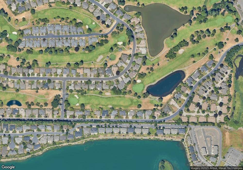
Map
Nearby Homes
- 452 Fountain Ct N
- 475 Snead Dr N
- 542 Fountain Ct N
- 282 Crystal Springs Ln N Unit 282
- 6102 Trevino Ct N
- 391 McNary Heights Dr N
- 371 McNary Heights Dr N
- 544 Castle Glen Ln N
- 271 McNary Heights Dr N
- 336 Bolf Terrace N
- 902 Mistletoe Loop N
- 493 Lakefair Cir N
- 507 Lakefair Place N
- 6467 Hogan Dr N
- 5355 River Rd N Unit 101 Rd NE
- 5355 River Rd N
- 5355 River Rd N Unit 85
- 5355 River Rd N Unit 78
- 5355 River Rd N Unit 126
- 845 Sonata Ln N
- 380 Snead Dr N
- 420 Snead Dr N
- 360 Snead Dr N
- 430 Snead Dr N
- 385 Snead Dr N
- 425 Snead Dr N
- 365 Snead Dr N
- 450 Snead Dr N
- 350 Snead Dr N
- 435 Snead Dr N
- 345 Snead Dr N
- 399 McNary Estates Dr N
- 460 Snead Dr N
- 419 McNary Estates Dr N
- 455 Snead Dr N
- 340 Snead Dr N
- 389 McNary Estates Dr N
- 429 McNary Estates Dr N
- 369 McNary Estates Dr N
- 470 Snead Dr N