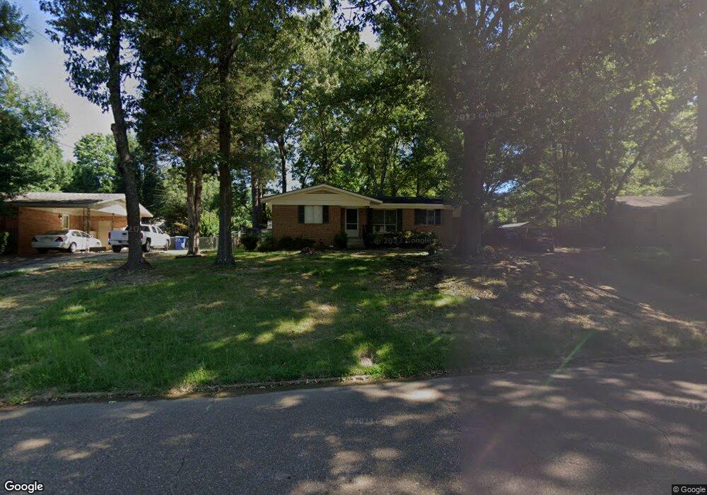
390 W Robinson St Hernando, MS 38632
Estimated Value: $202,992 - $234,000
3
Beds
1
Bath
1,250
Sq Ft
$173/Sq Ft
Est. Value
About This Home
This home is located at 390 W Robinson St, Hernando, MS 38632 and is currently estimated at $216,248, approximately $172 per square foot. 390 W Robinson St is a home located in DeSoto County with nearby schools including Oak Grove Central Elementary School, Hernando Elementary School, and Hernando Hills Elementary.
Ownership History
Date
Name
Owned For
Owner Type
Purchase Details
Closed on
Feb 2, 2009
Sold by
Walters Brian C
Bought by
Fuchs Matthew Davis and Blount Amanda Leigh
Current Estimated Value
Home Financials for this Owner
Home Financials are based on the most recent Mortgage that was taken out on this home.
Original Mortgage
$88,271
Outstanding Balance
$56,185
Interest Rate
5.23%
Mortgage Type
FHA
Estimated Equity
$160,063
Create a Home Valuation Report for This Property
The Home Valuation Report is an in-depth analysis detailing your home's value as well as a comparison with similar homes in the area
Home Values in the Area
Average Home Value in this Area
Purchase History
| Date | Buyer | Sale Price | Title Company |
|---|---|---|---|
| Fuchs Matthew Davis | -- | None Available |
Source: Public Records
Mortgage History
| Date | Status | Borrower | Loan Amount |
|---|---|---|---|
| Open | Fuchs Matthew Davis | $88,271 |
Source: Public Records
Tax History Compared to Growth
Tax History
| Year | Tax Paid | Tax Assessment Tax Assessment Total Assessment is a certain percentage of the fair market value that is determined by local assessors to be the total taxable value of land and additions on the property. | Land | Improvement |
|---|---|---|---|---|
| 2024 | $923 | $6,651 | $2,500 | $4,151 |
| 2023 | $923 | $6,651 | $0 | $0 |
| 2022 | $923 | $6,651 | $2,500 | $4,151 |
| 2021 | $923 | $6,651 | $2,500 | $4,151 |
| 2020 | $877 | $6,319 | $0 | $0 |
| 2019 | $877 | $6,319 | $2,500 | $3,819 |
| 2017 | $870 | $9,982 | $6,241 | $3,741 |
| 2016 | $834 | $6,241 | $2,500 | $3,741 |
| 2015 | $834 | $9,982 | $6,241 | $3,741 |
| 2014 | $562 | $6,241 | $0 | $0 |
| 2013 | $540 | $6,241 | $0 | $0 |
Source: Public Records
Map
Nearby Homes
- 2035 Highway 51 S
- 280 Northwood Hills Dr
- 400 Timber Way S
- 5 W Commerce St
- 1770 Robertson Place Dr
- 1479 Ashtons Ln
- 120 N Parkway St
- 2615 Jaxon Dr
- 1 E Oak Grove Rd
- 280 Byhalia Cove
- 69 Lake Pointe Dr
- 509 Howell Way
- 587 Walkers Way
- 1265 U S 51
- 1221 Howell Way
- 1210 Howell Way
- 1501 Mount Pleasant Rd
- 450 Vaiden Dr
- 470 Beacon Hill Dr
- 0 E Commerce St
- 374 W Robinson St
- 408 W Robinson St
- 2151 Gale Cove
- 393 W Robinson St
- 424 W Robinson St
- 354 W Robinson St
- 371 W Robinson St
- 2144 Gale Cove
- 2211 West St
- 361 W Robinson St
- 2145 Gale Cove
- 340 W Robinson St
- 440 W Robinson St
- 351 W Robinson St
- 2231 West St
- 2231 West St
- 2128 Gale Cove
- 445 W Robinson St
- 465 Cedar Cove
- 2165 Highway 51 S