3900 State Hwy Eastham, MA 2642
--
Bed
--
Bath
816
Sq Ft
7.5
Acres
About This Home
This home is located at 3900 State Hwy, Eastham, MA 2642. 3900 State Hwy is a home located in Barnstable County with nearby schools including Eastham Elementary School, Nauset Regional Middle School, and Nauset Regional High School.
Ownership History
Date
Name
Owned For
Owner Type
Purchase Details
Closed on
May 10, 2017
Sold by
Jgg Eastham Tic Llc
Bought by
Eastham Ma Hotels Llc
Home Financials for this Owner
Home Financials are based on the most recent Mortgage that was taken out on this home.
Original Mortgage
$1,839,000
Outstanding Balance
$1,531,030
Interest Rate
4.14%
Mortgage Type
Commercial
Purchase Details
Closed on
May 5, 2017
Sold by
South Bay Hotels Llc
Bought by
Jgg Eastham Tic Llc
Home Financials for this Owner
Home Financials are based on the most recent Mortgage that was taken out on this home.
Original Mortgage
$1,839,000
Outstanding Balance
$1,531,030
Interest Rate
4.14%
Mortgage Type
Commercial
Purchase Details
Closed on
May 3, 2017
Sold by
South Bay Hotels Llc
Bought by
Jgg Eastham Tic Llc
Home Financials for this Owner
Home Financials are based on the most recent Mortgage that was taken out on this home.
Original Mortgage
$1,839,000
Outstanding Balance
$1,531,030
Interest Rate
4.14%
Mortgage Type
Commercial
Create a Home Valuation Report for This Property
The Home Valuation Report is an in-depth analysis detailing your home's value as well as a comparison with similar homes in the area
Home Values in the Area
Average Home Value in this Area
Purchase History
| Date | Buyer | Sale Price | Title Company |
|---|---|---|---|
| Eastham Ma Hotels Llc | $12,250,000 | -- | |
| Jgg Eastham Tic Llc | -- | -- | |
| Jgg Eastham Tic Llc | -- | -- |
Source: Public Records
Mortgage History
| Date | Status | Borrower | Loan Amount |
|---|---|---|---|
| Open | Eastham Ma Hotels Llc | $1,839,000 |
Source: Public Records
Tax History Compared to Growth
Tax History
| Year | Tax Paid | Tax Assessment Tax Assessment Total Assessment is a certain percentage of the fair market value that is determined by local assessors to be the total taxable value of land and additions on the property. | Land | Improvement |
|---|---|---|---|---|
| 2025 | $15,614 | $2,025,100 | $717,300 | $1,307,800 |
| 2024 | $14,044 | $2,003,400 | $696,700 | $1,306,700 |
| 2023 | $14,587 | $2,014,800 | $687,700 | $1,327,100 |
| 2022 | $15,160 | $1,766,900 | $613,500 | $1,153,400 |
| 2021 | $15,685 | $1,708,600 | $596,000 | $1,112,600 |
| 2020 | $15,534 | $1,781,400 | $608,200 | $1,173,200 |
| 2019 | $18,318 | $2,220,400 | $608,200 | $1,612,200 |
| 2018 | $15,211 | $1,821,700 | $590,700 | $1,231,000 |
| 2017 | $14,345 | $1,815,800 | $580,300 | $1,235,500 |
| 2016 | $12,623 | $1,696,700 | $575,200 | $1,121,500 |
| 2015 | $12,046 | $1,696,600 | $569,800 | $1,126,800 |
Source: Public Records
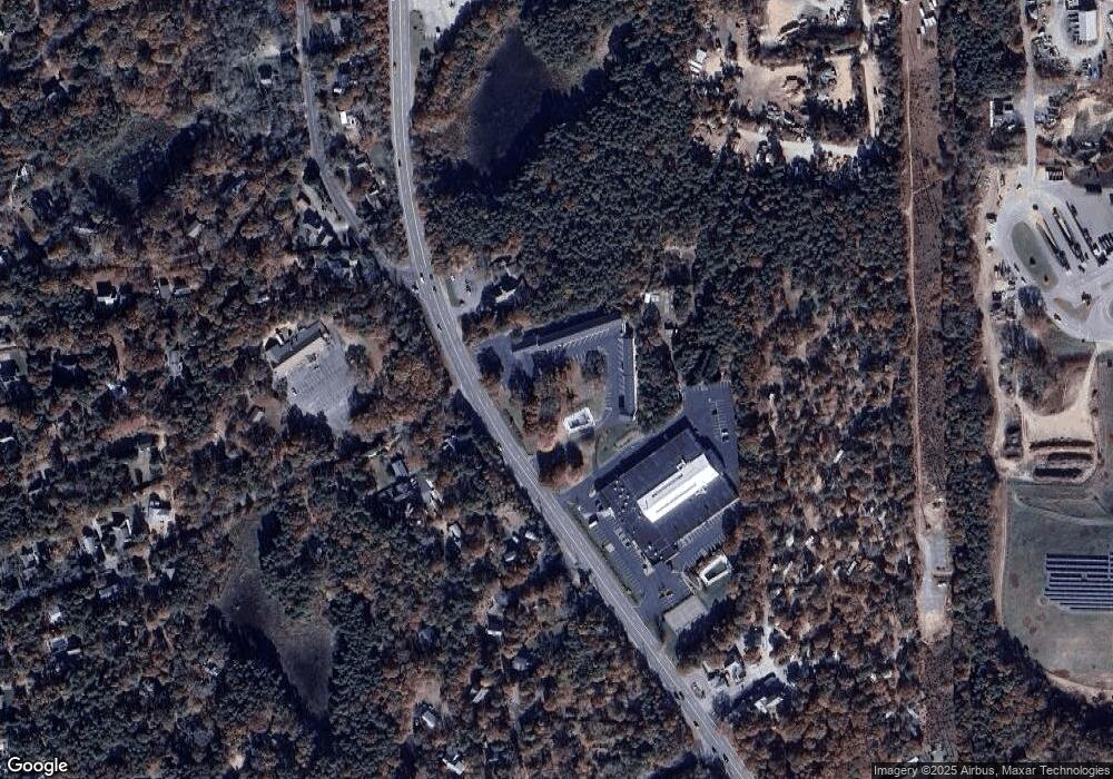
Map
Nearby Homes
- 60 Briggs Field Rd
- 255 Massasoit Rd
- 100 Orchard Dr
- 45 Starlight Ln
- 10 Field Rd
- 35 Old County Rd Unit 1
- 10 Kellies Path
- 10 Alston Ct
- 72 Dory Ln
- 100 Thoreau Dr
- 4 Wood Duck Ln
- 10 Surrey Dr
- 115 Sparrowhawk Ln
- 65 Cestaro Way
- 20 Redberry Ln
- 70 Deerfield Ln
- 85 Huckleberry Ln
- 30 Mayflower Rd
- 1895 Nauset Rd
- 45 Cranberry Cir