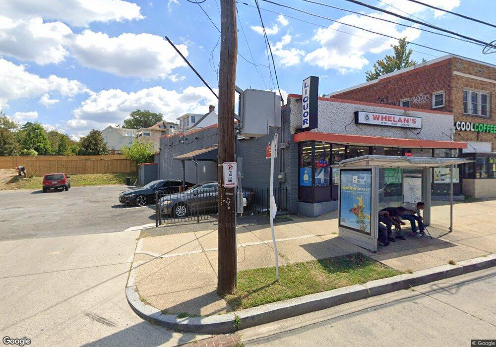
3903 12th St NE Washington, DC 20017
Brookland NeighborhoodEstimated Value: $1,313,449
--
Bed
--
Bath
2,584
Sq Ft
$508/Sq Ft
Est. Value
About This Home
This home is located at 3903 12th St NE, Washington, DC 20017 and is currently estimated at $1,313,449, approximately $508 per square foot. 3903 12th St NE is a home located in District of Columbia with nearby schools including Bunker Hill Elementary School, Brookland Middle School, and Dunbar High School.
Ownership History
Date
Name
Owned For
Owner Type
Purchase Details
Closed on
Aug 14, 2017
Sold by
Largent Beth M and Cox Lisa A
Bought by
Whelan Llc A District Of Columbia Limite
Current Estimated Value
Purchase Details
Closed on
Aug 25, 2016
Sold by
The Estate Of Diane S Brooks
Bought by
Largent Beth M and Cox Lisa A
Create a Home Valuation Report for This Property
The Home Valuation Report is an in-depth analysis detailing your home's value as well as a comparison with similar homes in the area
Home Values in the Area
Average Home Value in this Area
Purchase History
| Date | Buyer | Sale Price | Title Company |
|---|---|---|---|
| Whelan Llc A District Of Columbia Limite | $1,258,225 | Key Title | |
| Largent Beth M | -- | None Available | |
| Largent Beth M | -- | None Available |
Source: Public Records
Tax History Compared to Growth
Tax History
| Year | Tax Paid | Tax Assessment Tax Assessment Total Assessment is a certain percentage of the fair market value that is determined by local assessors to be the total taxable value of land and additions on the property. | Land | Improvement |
|---|---|---|---|---|
| 2025 | $25,343 | $1,535,960 | $1,093,820 | $442,140 |
| 2024 | $20,120 | $1,219,420 | $1,093,820 | $125,600 |
| 2023 | $18,118 | $1,098,060 | $1,072,340 | $25,720 |
| 2022 | $18,483 | $1,120,200 | $1,072,340 | $47,860 |
| 2021 | $19,638 | $1,190,200 | $1,177,880 | $12,320 |
| 2020 | $19,637 | $1,190,130 | $1,070,770 | $119,360 |
| 2019 | $17,309 | $1,049,050 | $973,430 | $75,620 |
| 2018 | $17,295 | $1,048,160 | $0 | $0 |
| 2017 | $15,961 | $967,340 | $0 | $0 |
| 2016 | $14,645 | $887,550 | $0 | $0 |
| 2015 | $14,634 | $886,900 | $0 | $0 |
| 2014 | $14,689 | $890,220 | $0 | $0 |
Source: Public Records
Map
Nearby Homes
- 1207 Randolph St NE
- 1049 Michigan Ave NE Unit 1049
- 1235 Perry St NE
- 3722 13th St NE
- 3719 12th St NE Unit 209
- 1006 Shepherd St NE
- 1004 Shepherd St NE
- 913 Quincy St NE Unit 3
- 1032 Otis St NE Unit G01
- 4019 9th St NE Unit 4
- 4019 9th St NE Unit 1
- 4200 13th St NE
- 705 Quincy St NE Unit 2
- 705 Quincy St NE Unit 4
- 0 Taussig Place NE
- 1348 Newton St NE
- 820 Taylor St NE
- 1358 Newton St NE
- 1400 Newton St NE
- 1234 Monroe St NE
- 1200-1208 Quincy St NE
- 3923 12th St NE
- 1222 Quincy St NE
- 3916 12th St NE
- 3906 12th St NE
- 1226 Quincy St NE
- 3925 12th St NE
- 3908 12th St NE
- 1203 Randolph St NE
- 3926 12th St NE
- 3924 12th St NE
- 3928 12th St NE
- 3922 12th St NE
- 1010 Quincy St NE
- 3934 12th St NE
- 1230 Quincy St NE
- 1123 Michigan Ave NE
- 1215 Quincy St NE
- 1117 Michigan Ave NE
- 1221 Randolph St NE