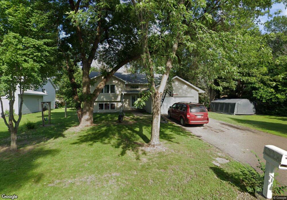
39043 4th Ave North Branch, MN 55056
Estimated Value: $317,456 - $335,000
3
Beds
2
Baths
1,059
Sq Ft
$307/Sq Ft
Est. Value
About This Home
This home is located at 39043 4th Ave, North Branch, MN 55056 and is currently estimated at $325,485, approximately $307 per square foot. 39043 4th Ave is a home located in Chisago County with nearby schools including North Branch Middle School, Sunrise River Elementary School, and North Branch Senior High School.
Ownership History
Date
Name
Owned For
Owner Type
Purchase Details
Closed on
Jul 17, 2009
Sold by
Not Provided
Bought by
Richardson Jacob A
Current Estimated Value
Purchase Details
Closed on
Nov 10, 2006
Sold by
Schilling Richard J and Schilling Teri L
Bought by
Robinson Dallas R and Robinson Elizabeth M
Purchase Details
Closed on
Nov 6, 2003
Sold by
Zandtke Royce and Zandtke Deborah
Bought by
Schilling Richard J
Purchase Details
Closed on
Sep 8, 2001
Sold by
Zaudtke Royce D and Zaudtke Deborah R
Bought by
Mewhorter Daniel P and Mewhorter Pamela J
Purchase Details
Closed on
Apr 25, 2001
Sold by
Fernwood Developers Llc
Bought by
Zaudtke Royce D and Zaudtke Deborah R
Purchase Details
Closed on
Apr 18, 2001
Sold by
Graphic Homes Inc
Bought by
Fernwood Developers L L C
Create a Home Valuation Report for This Property
The Home Valuation Report is an in-depth analysis detailing your home's value as well as a comparison with similar homes in the area
Home Values in the Area
Average Home Value in this Area
Purchase History
| Date | Buyer | Sale Price | Title Company |
|---|---|---|---|
| Richardson Jacob A | $154,000 | -- | |
| Robinson Dallas R | $180,000 | -- | |
| Schilling Richard J | $161,500 | -- | |
| Mewhorter Daniel P | $161,500 | -- | |
| Zaudtke Royce D | $15,000 | -- | |
| Fernwood Developers L L C | $15,000 | -- |
Source: Public Records
Mortgage History
| Date | Status | Borrower | Loan Amount |
|---|---|---|---|
| Closed | Mewhorter Daniel P | $0 | |
| Closed | Schilling Richard J | -- |
Source: Public Records
Tax History
| Year | Tax Paid | Tax Assessment Tax Assessment Total Assessment is a certain percentage of the fair market value that is determined by local assessors to be the total taxable value of land and additions on the property. | Land | Improvement |
|---|---|---|---|---|
| 2024 | $3,352 | $255,800 | $0 | $0 |
| 2023 | $3,352 | $283,100 | $0 | $0 |
| 2022 | $3,110 | $259,900 | $0 | $0 |
| 2021 | $3,132 | $204,100 | $0 | $0 |
| 2020 | $3,076 | $215,500 | $40,000 | $175,500 |
| 2019 | $2,808 | $0 | $0 | $0 |
| 2018 | $2,612 | $0 | $0 | $0 |
| 2017 | $2,564 | $0 | $0 | $0 |
| 2016 | $2,318 | $0 | $0 | $0 |
| 2015 | $2,374 | $0 | $0 | $0 |
| 2014 | -- | $131,900 | $0 | $0 |
Source: Public Records
Map
Nearby Homes
- 39094 Riverside Ct
- XXXXX Maple St
- 38624 Grand Ave
- 38820 Maple Ct
- TBD Ash St
- 38558 Grand Ave
- 524X 391st St
- 6119 Red Fox Run
- TBD Saint Croix Trail
- 38639 Hawthorne Ave
- 7268 Hawthorne Ct
- 7255 Hawthorne Ct
- 7222 Hawthorne Ct
- 5187 391st St
- 5128 391st St
- 5276 391st St
- 5156 391st St
- 5212 391st St
- 5244 391st St
- 7246 385th St
Your Personal Tour Guide
Ask me questions while you tour the home.