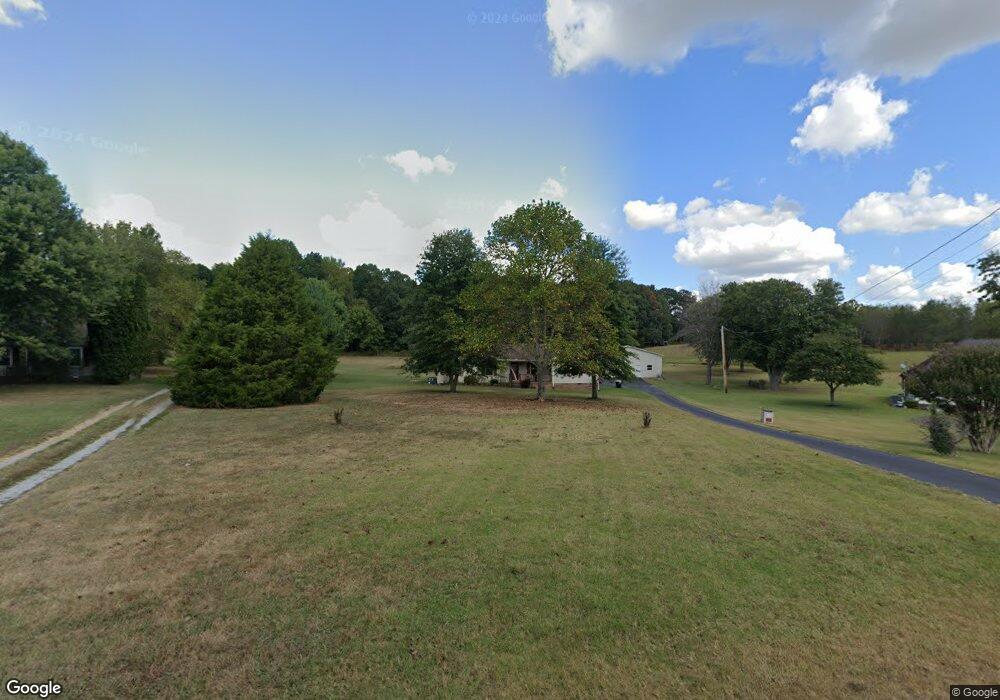
3907 Armstrong Rd Springfield, TN 37172
Estimated Value: $354,000 - $449,000
Studio
2
Baths
1,914
Sq Ft
$211/Sq Ft
Est. Value
About This Home
This home is located at 3907 Armstrong Rd, Springfield, TN 37172 and is currently estimated at $403,566, approximately $210 per square foot. 3907 Armstrong Rd is a home located in Robertson County with nearby schools including Krisle Elementary School and East Robertson High School.
Ownership History
Date
Name
Owned For
Owner Type
Purchase Details
Closed on
Apr 4, 2019
Sold by
Munro John B and Munro Kathryn M
Bought by
Munro Kathryn M
Current Estimated Value
Home Financials for this Owner
Home Financials are based on the most recent Mortgage that was taken out on this home.
Original Mortgage
$180,000
Outstanding Balance
$157,277
Interest Rate
4.3%
Mortgage Type
New Conventional
Estimated Equity
$246,289
Purchase Details
Closed on
Nov 7, 1994
Sold by
Spain J T
Bought by
Munro John B
Purchase Details
Closed on
Jul 2, 1992
Bought by
Spain Spain J and Spain Spainbarbara
Create a Home Valuation Report for This Property
The Home Valuation Report is an in-depth analysis detailing your home's value as well as a comparison with similar homes in the area
Home Values in the Area
Average Home Value in this Area
Purchase History
| Date | Buyer | Sale Price | Title Company |
|---|---|---|---|
| Munro Kathryn M | -- | None Available | |
| Munro John B | $76,000 | -- | |
| Spain Spain J | -- | -- |
Source: Public Records
Mortgage History
| Date | Status | Borrower | Loan Amount |
|---|---|---|---|
| Open | Munro Kathryn M | $180,000 |
Source: Public Records
Tax History
| Year | Tax Paid | Tax Assessment Tax Assessment Total Assessment is a certain percentage of the fair market value that is determined by local assessors to be the total taxable value of land and additions on the property. | Land | Improvement |
|---|---|---|---|---|
| 2025 | $1,483 | $82,375 | $20,600 | $61,775 |
| 2024 | $1,483 | $82,375 | $20,600 | $61,775 |
| 2023 | $1,483 | $82,375 | $20,600 | $61,775 |
| 2022 | $1,484 | $57,600 | $10,200 | $47,400 |
| 2021 | $1,484 | $57,600 | $10,200 | $47,400 |
| 2020 | $1,484 | $57,600 | $10,200 | $47,400 |
| 2019 | $1,484 | $57,600 | $10,200 | $47,400 |
| 2018 | $1,484 | $57,600 | $10,200 | $47,400 |
| 2017 | $1,402 | $45,450 | $9,625 | $35,825 |
| 2016 | $1,402 | $45,450 | $9,625 | $35,825 |
| 2015 | $1,345 | $45,450 | $9,625 | $35,825 |
| 2014 | $1,345 | $45,450 | $9,625 | $35,825 |
Source: Public Records
Map
Nearby Homes
- 1074 Pair Six Dr
- 4247 Armstrong Rd
- 4031 Wells Rd
- 12354 Owens Chapel Rd
- 3972 Baggett Rd
- 3941 Baggett Rd
- 6808 Hester Rd
- 0 Homer Worsham Rd
- 5827 Highway 76 E
- 5031 Homer Worsham Rd
- 0 Owens Chapel Rd
- 1073 Rector Ln
- 344 Brandywine Ln
- 7855 Bethlehem Rd
- 349 Fieldstone Ln
- 340 Fieldstone Ln
- 312 Brandywine Ln
- 405 Arabian Ln
- 1004 Shiloh Dr
- 338 Gallop Ln
- 3911 Armstrong Rd
- 4087 Armstrong Rd
- 3905 Armstrong Rd
- 3915 Armstrong Rd
- 3991 Armstrong Rd
- 4090 Armstrong Rd
- 3901 Armstrong Rd
- 3902 Armstrong Rd
- 3990 Armstrong Rd
- 3921 Armstrong Rd
- 3897 Armstrong Rd
- 3986 Armstrong Rd
- 4088 Armstrong Rd
- 3889 Armstrong Rd
- 3889 Armstrong Rd
- 3894 Armstrong Rd
- 3980 Armstrong Rd
- 4092 Armstrong Rd
- 3883 Armstrong Rd
- 3883 Armstrong Rd
Your Personal Tour Guide
Ask me questions while you tour the home.