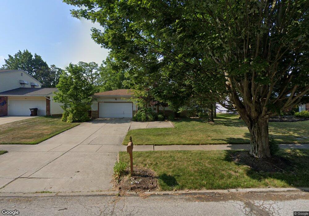
3907 Munich Dr Cleveland, OH 44130
Estimated Value: $253,357 - $294,000
4
Beds
2
Baths
1,596
Sq Ft
$169/Sq Ft
Est. Value
About This Home
This home is located at 3907 Munich Dr, Cleveland, OH 44130 and is currently estimated at $269,339, approximately $168 per square foot. 3907 Munich Dr is a home with nearby schools including Pleasant Valley Elementary School, Greenbriar Middle School, and Valley Forge High School.
Ownership History
Date
Name
Owned For
Owner Type
Purchase Details
Closed on
Aug 11, 1998
Sold by
Saringer Robert R and Saringer Ethel I
Bought by
Milla Brett A and Milla Rebecca A
Current Estimated Value
Home Financials for this Owner
Home Financials are based on the most recent Mortgage that was taken out on this home.
Original Mortgage
$142,500
Outstanding Balance
$30,117
Interest Rate
7.07%
Estimated Equity
$239,222
Purchase Details
Closed on
Nov 25, 1985
Sold by
Saringer Robert R and E I
Bought by
Saringer Robert R and Saringer Ethel I
Purchase Details
Closed on
Jan 1, 1975
Bought by
Saringer Robert R and E I
Create a Home Valuation Report for This Property
The Home Valuation Report is an in-depth analysis detailing your home's value as well as a comparison with similar homes in the area
Home Values in the Area
Average Home Value in this Area
Purchase History
| Date | Buyer | Sale Price | Title Company |
|---|---|---|---|
| Milla Brett A | $150,000 | Midland Title Security Inc | |
| Saringer Robert R | -- | -- | |
| Saringer Robert R | -- | -- |
Source: Public Records
Mortgage History
| Date | Status | Borrower | Loan Amount |
|---|---|---|---|
| Open | Milla Brett A | $142,500 |
Source: Public Records
Tax History
| Year | Tax Paid | Tax Assessment Tax Assessment Total Assessment is a certain percentage of the fair market value that is determined by local assessors to be the total taxable value of land and additions on the property. | Land | Improvement |
|---|---|---|---|---|
| 2024 | $4,554 | $74,690 | $13,580 | $61,110 |
| 2023 | $4,100 | $58,040 | $12,570 | $45,470 |
| 2022 | $4,064 | $58,030 | $12,570 | $45,470 |
| 2021 | $4,183 | $58,030 | $12,570 | $45,470 |
| 2020 | $3,967 | $48,790 | $10,570 | $38,220 |
| 2019 | $3,816 | $139,400 | $30,200 | $109,200 |
| 2018 | $3,704 | $48,790 | $10,570 | $38,220 |
| 2017 | $3,742 | $44,420 | $8,720 | $35,700 |
| 2016 | $3,718 | $44,420 | $8,720 | $35,700 |
| 2015 | $3,557 | $44,420 | $8,720 | $35,700 |
| 2014 | $3,557 | $44,420 | $8,720 | $35,700 |
Source: Public Records
Map
Nearby Homes
- 10212 Vienna Dr
- 8501 Pin Oak Dr
- 9581 Tilby Rd
- 11183 Johnson Dr
- 9999 Reichert Rd
- 8428 Ridge Rd
- 8415 Ridge Rd
- 7790 Arbor Way Unit M31
- 8300 Ridgedale Rd
- 11607 Stormes Dr
- 10410 Terrace Ct
- 7663 Lime Ln
- L 5B S South Pointe Ln
- L 5D S South Pointe Ln
- 10023 Gabriella Dr
- 10334 Moore Dr
- 9486 York Rd
- 7181 York Rd
- 8960 Wildwood Dr
- 11001 Shaker Dr
Your Personal Tour Guide
Ask me questions while you tour the home.