391 High Peak Rd Unit 391 A Monroe, VA 24574
Estimated Value: $310,738 - $453,000
About This Home
Taking applications for a stunning, two-bedroom, 1 bathroom apartment on High Peak Road in Monroe, VA, in a private wooded estate setting. Private driveway, parking, and large porch. All utilities: water/sewer, internet, electricity, appliances, and washer/dryer use included. NOT included is propane for heat/hot water/cooking. Hardwood floors, high ceilings, lots of windows with deep window sills, ceiling fans, walk-in closet, beautiful custom architectural details, and new paint, floors, and carpet. Working wood stove with custom-built mantle. Gorgeous eat-in kitchen with island, new appliances. $1350/month, available September 1. Can be viewed starting mid-late August because of the remodel. It will be practically brand new when we are done! Some property/yard maintenance required. Reach out for more info and to see if you might be a good fit! Sorry, no pets or smoking.
Ownership History
Purchase Details
Home Values in the Area
Average Home Value in this Area
Purchase History
| Date | Buyer | Sale Price | Title Company |
|---|---|---|---|
| Sansone Julia Jeam | -- | Company Providing Title Insu |
Property History
| Date | Event | Price | List to Sale | Price per Sq Ft |
|---|---|---|---|---|
| 09/03/2025 09/03/25 | Off Market | $1,350 | -- | -- |
| 08/11/2025 08/11/25 | Price Changed | $1,350 | -3.6% | $1 / Sq Ft |
| 08/08/2025 08/08/25 | For Rent | $1,400 | -- | -- |
Tax History Compared to Growth
Tax History
| Year | Tax Paid | Tax Assessment Tax Assessment Total Assessment is a certain percentage of the fair market value that is determined by local assessors to be the total taxable value of land and additions on the property. | Land | Improvement |
|---|---|---|---|---|
| 2025 | $1,105 | $181,100 | $43,000 | $138,100 |
| 2024 | $1,105 | $181,100 | $43,000 | $138,100 |
| 2023 | $1,105 | $181,100 | $43,000 | $138,100 |
| 2022 | $1,105 | $171,900 | $43,000 | $128,900 |
| 2021 | $1,049 | $171,900 | $43,000 | $128,900 |
| 2020 | $1,049 | $171,900 | $43,000 | $128,900 |
| 2019 | $1,033 | $169,300 | $49,000 | $120,300 |
| 2018 | $1,033 | $169,300 | $49,000 | $120,300 |
| 2017 | $1,033 | $169,300 | $49,000 | $120,300 |
| 2016 | $1,033 | $169,300 | $49,000 | $120,300 |
| 2015 | $948 | $169,300 | $49,000 | $120,300 |
| 2014 | $948 | $169,300 | $49,000 | $120,300 |
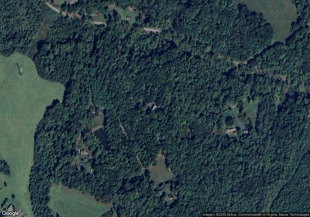
Map
- 893 Cedar Gate Rd
- 839 Cedar Gate Rd
- 1159 Cedar Gate Rd
- 621 Cedar Gate Rd
- 138 Magnolia Ln
- 216 Burford Farm Rd
- 203 Ned Brown Rd
- 0 Crawford's Hill Place
- 1765 Winesap Rd
- 157 Old Country Rd
- 1481 Winesap Rd
- 124-138 Cedar Gate Rd
- 0 McIvor Ln
- 0 S Amherst Hwy Unit 362100
- 0 S Amherst Hwy Unit 336267
- 171 Faulconerville Dr
- 139 Grimes Dr
- 1358 S Coolwell Rd
- 116 Winridge Dr
- 379 Winesap Rd
- 391 High Peak Rd
- 549 High Peak Rd
- 381 High Peak Rd
- 397 High Peak Rd
- 534 High Peak Rd
- 536 High Peak Rd
- 564 High Peak Rd
- 126 Bethany Hill Rd
- 114 Bethany Hill Rd
- 131 Bethany Hill Rd
- 960 Cedar Gate Rd
- 986 Cedar Gate Rd
- 639 High Peak Rd
- 973 Cedar Gate Rd
- 979 Cedar Gate Rd
- 985 Cedar Gate Rd
- 991 Cedar Gate Rd
- 997 Cedar Gate Rd
- 1003 Cedar Gate Rd
- 969 Cedar Gate Rd