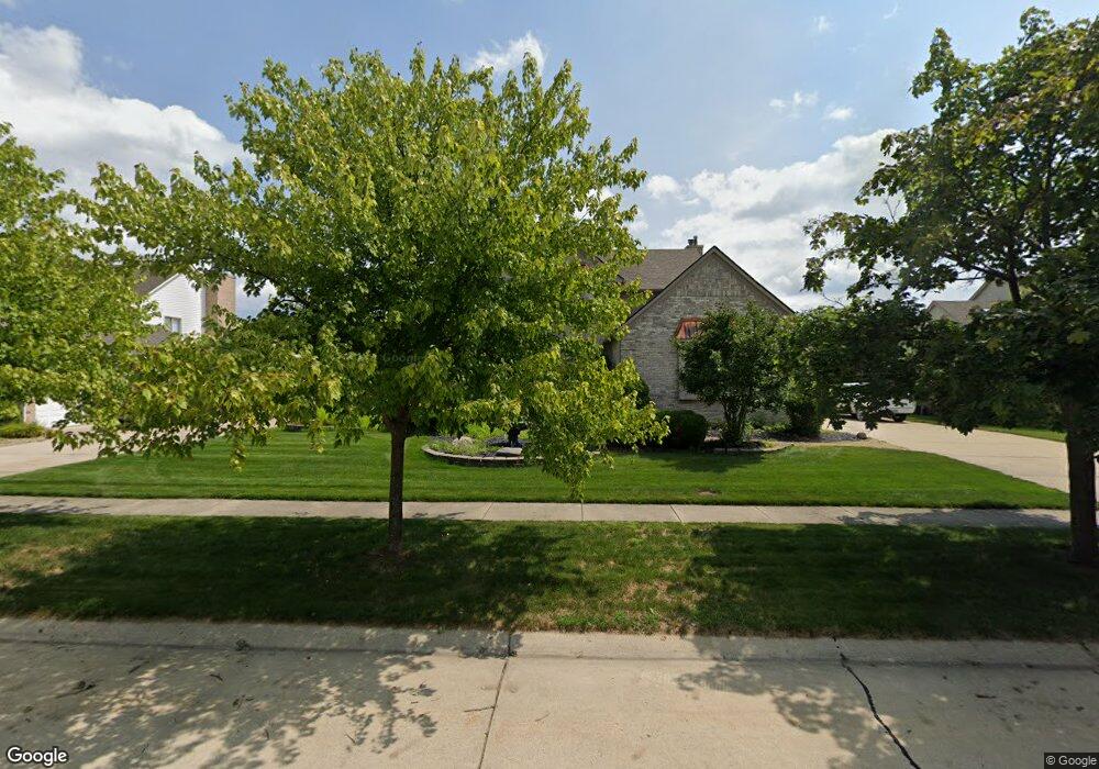
391 Robert Ct Canton, MI 48188
Estimated Value: $565,387 - $594,000
Studio
3
Baths
2,596
Sq Ft
$225/Sq Ft
Est. Value
About This Home
This home is located at 391 Robert Ct, Canton, MI 48188 and is currently estimated at $583,347, approximately $224 per square foot. 391 Robert Ct is a home located in Wayne County with nearby schools including Bentley Elementary School, Canton High School, and Plymouth High School.
Ownership History
Date
Name
Owned For
Owner Type
Purchase Details
Closed on
Jan 11, 2006
Sold by
Daugherty David A and Daugherty Michelle R
Bought by
Deutsche Bank National Trust Co and Ameriquest Mortgage Securities Inc Asset
Current Estimated Value
Purchase Details
Closed on
Sep 15, 2005
Sold by
Daugherty David A and Daugherty Michelle R
Bought by
Deutsche Bank National Trust Co and Ameriquest Mortgage Securities Inc Asset
Create a Home Valuation Report for This Property
The Home Valuation Report is an in-depth analysis detailing your home's value as well as a comparison with similar homes in the area
Home Values in the Area
Average Home Value in this Area
Purchase History
| Date | Buyer | Sale Price | Title Company |
|---|---|---|---|
| Deutsche Bank National Trust Co | -- | None Available | |
| Deutsche Bank National Trust Co | $392,959 | None Available |
Source: Public Records
Tax History
| Year | Tax Paid | Tax Assessment Tax Assessment Total Assessment is a certain percentage of the fair market value that is determined by local assessors to be the total taxable value of land and additions on the property. | Land | Improvement |
|---|---|---|---|---|
| 2025 | $3,099 | $263,300 | $0 | $0 |
| 2024 | $3,011 | $244,500 | $0 | $0 |
| 2023 | $2,871 | $221,300 | $0 | $0 |
| 2022 | $6,227 | $196,600 | $0 | $0 |
| 2021 | $6,042 | $189,500 | $0 | $0 |
| 2020 | $5,969 | $183,300 | $0 | $0 |
| 2019 | $5,858 | $164,720 | $0 | $0 |
| 2018 | $2,440 | $155,980 | $0 | $0 |
| 2017 | $5,919 | $154,700 | $0 | $0 |
| 2016 | $5,322 | $156,100 | $0 | $0 |
| 2015 | $13,405 | $152,220 | $0 | $0 |
| 2013 | $12,986 | $136,500 | $0 | $0 |
| 2010 | -- | $120,740 | $53,032 | $67,708 |
Source: Public Records
Map
Nearby Homes
- 45246 Gerald Ct
- 407 Fairfield Ct
- 298 Edington Cir Unit 32
- 290 Edington Cir Unit 62
- 215 Edington Cir
- 241 Edington Cir
- 45169 Middlebury Ln
- 43935 Harsdale Dr
- 43935 Marne Ct
- 45863 Baywood Blvd
- 45005 Saltz Rd
- 859 Wellington Ct
- 43880 Cherry Grove Ct W
- 610 Cherry Grove Rd
- 321 Cherry Grove Rd
- 43846 Cherry Grove Ct E
- 45678 Aragon Ln
- 446 Cherry Stone Dr Unit 54
- 1550 Valentine Ct
- 1215 Orchid Cir
- 423 Robert Ct
- 359 Robert Ct
- 327 Robert Ct
- 455 Robert Ct
- 374 Robert Ct
- 406 Robert Ct
- 342 Robert Ct
- 438 Robert Ct
- 295 Robert Ct
- 310 Robert Ct
- 505 Robert Ct
- 436 Fairfield Ct
- 470 Robert Ct
- 402 Fairfield Ct
- 460 Fairfield Ct
- 502 Robert Ct
- 278 Robert Ct
- 263 Robert Ct
- 45163 Gerald Ct Unit Bldg-Unit
- 45163 Gerald Ct
Your Personal Tour Guide
Ask me questions while you tour the home.