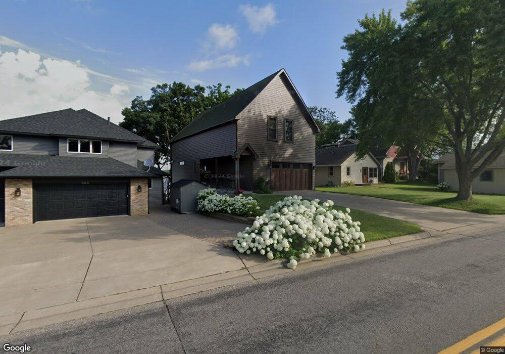
391 S Owasso Blvd W Saint Paul, MN 55113
South Owasso NeighborhoodEstimated Value: $694,000 - $824,000
2
Beds
3
Baths
1,984
Sq Ft
$389/Sq Ft
Est. Value
About This Home
This home is located at 391 S Owasso Blvd W, Saint Paul, MN 55113 and is currently estimated at $772,036, approximately $389 per square foot. 391 S Owasso Blvd W is a home located in Ramsey County with nearby schools including Emmet D. Williams Elementary School, Roseville Area Middle School, and Roseville Area Senior High School.
Ownership History
Date
Name
Owned For
Owner Type
Purchase Details
Closed on
Sep 16, 2014
Sold by
Rott Don
Bought by
Youngquist Stephen and Youngquist Kristin
Current Estimated Value
Home Financials for this Owner
Home Financials are based on the most recent Mortgage that was taken out on this home.
Original Mortgage
$199,100
Interest Rate
4.08%
Purchase Details
Closed on
Apr 8, 1996
Sold by
Rott Donald M and Rott June C
Bought by
Youngquist Stephen R and Youngquist Kristin G
Create a Home Valuation Report for This Property
The Home Valuation Report is an in-depth analysis detailing your home's value as well as a comparison with similar homes in the area
Home Values in the Area
Average Home Value in this Area
Purchase History
| Date | Buyer | Sale Price | Title Company |
|---|---|---|---|
| Youngquist Stephen | $515 | None Available | |
| Youngquist Stephen R | $100,000 | -- |
Source: Public Records
Mortgage History
| Date | Status | Borrower | Loan Amount |
|---|---|---|---|
| Closed | Youngquist Stephen | $199,100 |
Source: Public Records
Tax History Compared to Growth
Tax History
| Year | Tax Paid | Tax Assessment Tax Assessment Total Assessment is a certain percentage of the fair market value that is determined by local assessors to be the total taxable value of land and additions on the property. | Land | Improvement |
|---|---|---|---|---|
| 2025 | $9,872 | $768,000 | $200,900 | $567,100 |
| 2023 | $9,872 | $663,600 | $200,900 | $462,700 |
| 2022 | $8,728 | $634,600 | $200,900 | $433,700 |
| 2021 | $8,682 | $563,300 | $200,900 | $362,400 |
| 2020 | $8,278 | $591,700 | $200,900 | $390,800 |
| 2019 | $8,436 | $537,900 | $200,900 | $337,000 |
| 2018 | $8,092 | $534,000 | $200,900 | $333,100 |
| 2017 | $7,322 | $503,800 | $200,900 | $302,900 |
| 2016 | $7,132 | $0 | $0 | $0 |
| 2015 | $6,784 | $465,400 | $200,900 | $264,500 |
| 2014 | $7,746 | $0 | $0 | $0 |
Source: Public Records
Map
Nearby Homes
- 2970 Western Ave N
- 417 W Horseshoe Dr
- 255 County Road C2 W
- 3020 Rice St Unit Trailer B16
- 405 Judith Ave
- 613 S Owasso Blvd W
- 2814 Matilda St
- 387 Iona Ln
- 2802 Marion St
- 3318 W Owasso Blvd
- 3399 Kent St Unit 101
- 3399 Kent St Unit 211
- 2748 Kent St
- 3421 Kent St Unit 614
- 3421 Kent St Unit 607
- 3421 Kent St Unit 603
- 540 Woodhill Dr Unit 71
- 2720 MacKubin St
- 3431 Kent St Unit 813
- 3431 Kent St Unit 704
- 393 S Owasso Blvd W
- 389 S Owasso Blvd W
- 385 S Owasso Blvd W
- 397 S Owasso Blvd W
- 381 S Owasso Blvd W
- 405 S Owasso Blvd W
- 375 S Owasso Blvd W
- 367 S Owasso Blvd W
- 365 S Owasso Blvd W
- 365 S Owasso Blvd W
- 411 S Owasso Blvd W
- 365 S Owasso Blvd
- 363 S Owasso Blvd W
- 3045 Highpointe Curve
- 423 S Owasso Blvd W
- 3043 Highpointe Curve
- 361 S Owasso Blvd W
- 3039 Highpointe Curve
- 3049 Highpointe Curve
- 355 S Owasso Blvd W