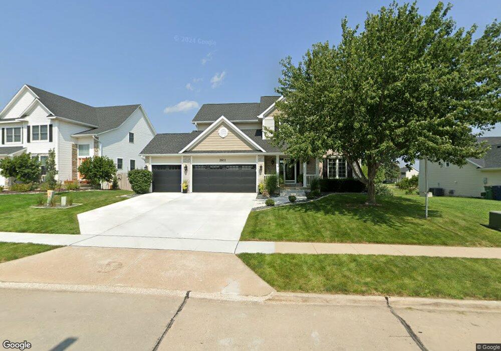
3911 Belair Dr Urbandale, IA 50323
Estimated Value: $431,000 - $462,000
4
Beds
4
Baths
2,126
Sq Ft
$208/Sq Ft
Est. Value
About This Home
This home is located at 3911 Belair Dr, Urbandale, IA 50323 and is currently estimated at $441,252, approximately $207 per square foot. 3911 Belair Dr is a home located in Polk County with nearby schools including Webster Elementary School, Urbandale Middle School, and Urbandale High School.
Ownership History
Date
Name
Owned For
Owner Type
Purchase Details
Closed on
May 19, 2005
Sold by
Jerrys Homes Inc
Bought by
Hobbs Brian T and Hobbs Connie L
Current Estimated Value
Home Financials for this Owner
Home Financials are based on the most recent Mortgage that was taken out on this home.
Original Mortgage
$273,120
Outstanding Balance
$144,505
Interest Rate
6.07%
Mortgage Type
Fannie Mae Freddie Mac
Estimated Equity
$296,747
Create a Home Valuation Report for This Property
The Home Valuation Report is an in-depth analysis detailing your home's value as well as a comparison with similar homes in the area
Home Values in the Area
Average Home Value in this Area
Purchase History
| Date | Buyer | Sale Price | Title Company |
|---|---|---|---|
| Hobbs Brian T | $289,000 | -- |
Source: Public Records
Mortgage History
| Date | Status | Borrower | Loan Amount |
|---|---|---|---|
| Open | Hobbs Brian T | $273,120 |
Source: Public Records
Tax History Compared to Growth
Tax History
| Year | Tax Paid | Tax Assessment Tax Assessment Total Assessment is a certain percentage of the fair market value that is determined by local assessors to be the total taxable value of land and additions on the property. | Land | Improvement |
|---|---|---|---|---|
| 2025 | $7,636 | $451,000 | $81,300 | $369,700 |
| 2024 | $7,636 | $432,100 | $76,200 | $355,900 |
| 2023 | $7,102 | $432,100 | $76,200 | $355,900 |
| 2022 | $7,020 | $339,900 | $61,900 | $278,000 |
| 2021 | $7,196 | $339,900 | $61,900 | $278,000 |
| 2020 | $7,072 | $330,700 | $60,100 | $270,600 |
| 2019 | $6,704 | $330,700 | $60,100 | $270,600 |
| 2018 | $6,464 | $295,600 | $51,900 | $243,700 |
| 2017 | $6,090 | $295,600 | $51,900 | $243,700 |
| 2016 | $5,944 | $273,700 | $44,000 | $229,700 |
| 2015 | $5,944 | $273,700 | $44,000 | $229,700 |
| 2014 | $5,536 | $262,900 | $41,600 | $221,300 |
Source: Public Records
Map
Nearby Homes
- 12220 Horton Ave
- 12515 Airline Ave
- 12527 Airline Ave
- 12324 Sunflower Dr
- 3935 122nd St
- 12510 Prairie Dr
- 12202 Madison Ave
- 12723 Sunflower Dr
- 4016 127th St
- 4143 122nd St
- 12335 Tanglewood Dr
- 14311 Catalpa Dr
- 14212 Catalpa Dr
- 14216 Catalpa Dr
- 4412 125th St
- 12912 Hammontree Dr
- 4309 129th St
- 12926 Timberline Dr
- 12993 Oak Brook Dr
- 13114 Iltis Dr
- 3917 Belair Dr
- 3905 Belair Dr
- 3923 Belair Dr
- 3912 124th St
- 12404 Airline Ave
- 4003 Belair Dr
- 3908 124th St
- 12410 Airline Ave
- 3915 124th St
- 3919 124th St
- 3911 124th St
- 4007 Belair Dr
- 12405 Airline Ave
- 3923 124th St
- 3904 124th St
- 12411 Airline Ave
- 3929 124th St
- 12320 Airline Ave
- 3921 125th St
- 12317 Horton Ave