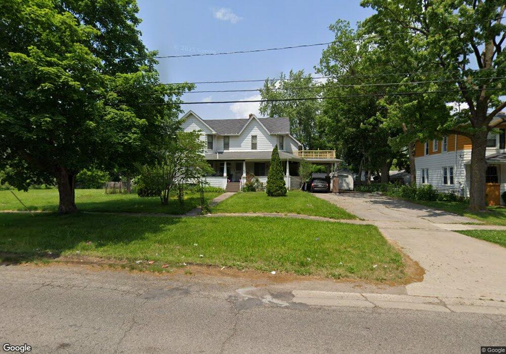
3912 W Court St Flint, MI 48532
West Court Gardens NeighborhoodEstimated Value: $51,000
6
Beds
2
Baths
2,372
Sq Ft
$22/Sq Ft
Est. Value
About This Home
This home is located at 3912 W Court St, Flint, MI 48532 and is currently priced at $51,000, approximately $21 per square foot. 3912 W Court St is a home located in Genesee County with nearby schools including Durant-Tuuri-Mott Elementary School, St. Paul Lutheran School, and First Flint Seventh-day Adventist Christian School.
Ownership History
Date
Name
Owned For
Owner Type
Purchase Details
Closed on
Jun 24, 2005
Sold by
Mccauley Richard P
Bought by
Bearup Kelly A
Current Estimated Value
Home Financials for this Owner
Home Financials are based on the most recent Mortgage that was taken out on this home.
Original Mortgage
$54,000
Interest Rate
5.69%
Mortgage Type
Fannie Mae Freddie Mac
Purchase Details
Closed on
Oct 29, 2002
Sold by
County Land Bank Authority
Bought by
Bearup Kelly
Purchase Details
Closed on
Aug 22, 2001
Sold by
White Maurice
Bought by
Lasalle Bank National Assn
Purchase Details
Closed on
Apr 17, 2000
Sold by
White Maurice
Bought by
White Maurice and Lyle Monica L
Purchase Details
Closed on
Mar 8, 2000
Sold by
Ray Joyce A
Bought by
White Maurice
Create a Home Valuation Report for This Property
The Home Valuation Report is an in-depth analysis detailing your home's value as well as a comparison with similar homes in the area
Home Values in the Area
Average Home Value in this Area
Purchase History
| Date | Buyer | Sale Price | Title Company |
|---|---|---|---|
| Bearup Kelly A | -- | Lawyers Title | |
| Bearup Kelly | -- | None Available | |
| Lasalle Bank National Assn | $75,688 | -- | |
| White Maurice | -- | Cislo Title Company | |
| White Maurice | $116,000 | Fidelity National Title Ins |
Source: Public Records
Mortgage History
| Date | Status | Borrower | Loan Amount |
|---|---|---|---|
| Previous Owner | Bearup Kelly A | $54,000 |
Source: Public Records
Tax History Compared to Growth
Tax History
| Year | Tax Paid | Tax Assessment Tax Assessment Total Assessment is a certain percentage of the fair market value that is determined by local assessors to be the total taxable value of land and additions on the property. | Land | Improvement |
|---|---|---|---|---|
| 2021 | $820 | $25,100 | $0 | $0 |
| 2020 | $812 | $22,400 | $0 | $0 |
| 2019 | $792 | $17,000 | $0 | $0 |
| 2018 | $875 | $15,600 | $0 | $0 |
| 2017 | $54 | $0 | $0 | $0 |
| 2016 | $0 | $0 | $0 | $0 |
| 2015 | -- | $0 | $0 | $0 |
| 2014 | -- | $0 | $0 | $0 |
| 2012 | -- | $14,500 | $0 | $0 |
Source: Public Records
Map
Nearby Homes
- 3921 Joyner St
- 3821 W Court St
- 863 Tacken St
- 874 Tacken St
- 870 Tacken St
- 866 Tacken St
- 960 Salisbury Ave
- 959 Tacken St
- 3705 Gratiot Ave
- 3414 Van Buren Ave
- 916 Mann Ave
- 976 Barney Ave
- 996 Barney Ave
- 960 Mann Ave
- 1574 Houran St
- 1600 Houran St
- 3801 Augusta St
- 3477 Ridgecliffe Dr
- 3517 Norwood Dr
- 3631 Ridgecliffe Dr
- 3902 W Court St
- 3914 W Court St
- 3913 Joyner St
- 3917 Joyner St
- 3909 Joyner St
- 3822 W Court St
- 3905 Joyner St
- 3925 Joyner St
- 3922 W Court St
- 3901 Joyner St
- 3818 W Court St
- 871 Tacken St
- 3905 W Court St
- 3823 Joyner St
- 3814 W Court St
- 3819 Joyner St
- 3918 Joyner St
- 3910 Joyner St
- 3906 Joyner St
- 3810 W Court St