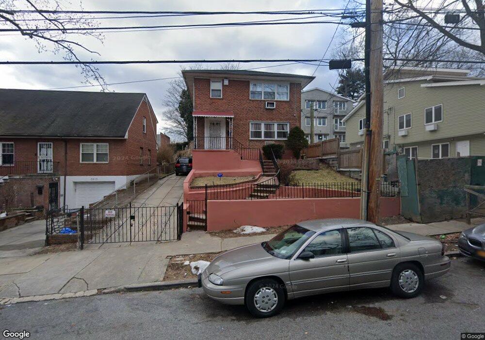
3919 Harper Ave Bronx, NY 10466
Edenwald NeighborhoodEstimated Value: $747,164 - $954,000
Studio
--
Bath
2,304
Sq Ft
$376/Sq Ft
Est. Value
About This Home
This home is located at 3919 Harper Ave, Bronx, NY 10466 and is currently estimated at $866,541, approximately $376 per square foot. 3919 Harper Ave is a home located in Bronx County with nearby schools including P.S. 68 - Bronx, Baychester Middle School, and One World Middle School At Edenwald.
Ownership History
Date
Name
Owned For
Owner Type
Purchase Details
Closed on
Jul 31, 2000
Sold by
Gordon Louis and Gordon Delroy
Bought by
Powell Glendon and Powell Demetrius Barbara
Current Estimated Value
Home Financials for this Owner
Home Financials are based on the most recent Mortgage that was taken out on this home.
Original Mortgage
$231,300
Interest Rate
7.94%
Purchase Details
Closed on
Sep 19, 1996
Sold by
Gordon Louis and Gordon Bernice
Bought by
Gordon Louis and Hemans Noel
Home Financials for this Owner
Home Financials are based on the most recent Mortgage that was taken out on this home.
Original Mortgage
$135,000
Interest Rate
8.06%
Create a Home Valuation Report for This Property
The Home Valuation Report is an in-depth analysis detailing your home's value as well as a comparison with similar homes in the area
Home Values in the Area
Average Home Value in this Area
Purchase History
| Date | Buyer | Sale Price | Title Company |
|---|---|---|---|
| Powell Glendon | $257,000 | -- | |
| Powell Glendon | $257,000 | -- | |
| Gordon Louis | -- | Commonwealth Land Title Ins | |
| Gordon Louis | -- | Commonwealth Land Title Ins |
Source: Public Records
Mortgage History
| Date | Status | Borrower | Loan Amount |
|---|---|---|---|
| Previous Owner | Powell Glendon | $231,300 | |
| Previous Owner | Gordon Louis | $135,000 |
Source: Public Records
Tax History
| Year | Tax Paid | Tax Assessment Tax Assessment Total Assessment is a certain percentage of the fair market value that is determined by local assessors to be the total taxable value of land and additions on the property. | Land | Improvement |
|---|---|---|---|---|
| 2025 | $7,198 | $37,238 | $8,886 | $28,352 |
| 2024 | $7,198 | $37,238 | $10,090 | $27,148 |
| 2023 | $7,221 | $36,958 | $10,870 | $26,088 |
| 2022 | $6,673 | $42,240 | $12,600 | $29,640 |
| 2021 | $6,619 | $43,380 | $12,600 | $30,780 |
| 2020 | $6,273 | $39,000 | $12,600 | $26,400 |
| 2019 | $6,199 | $38,340 | $12,600 | $25,740 |
| 2018 | $5,981 | $30,798 | $10,348 | $20,450 |
| 2017 | $5,623 | $29,055 | $11,320 | $17,735 |
| 2016 | $5,170 | $27,411 | $12,042 | $15,369 |
| 2015 | $3,423 | $25,860 | $11,460 | $14,400 |
| 2014 | $3,423 | $25,860 | $11,460 | $14,400 |
Source: Public Records
Map
Nearby Homes
- 1461 E 233rd St
- 3919 Pratt Ave
- 3924 Duryea Ave
- 3946 Secor Ave
- 3964 Duryea Ave
- 4040 Pratt Ave
- 3968 Duryea Ave
- 3963 Duryea Ave
- 4048 Harper Ave
- 2181 Strang Ave
- 2110 Light St
- 3735 Rombouts Ave
- 75 W Kingsbridge Rd
- 42 Wildwood Ave
- 29 Bell Ave
- 62 Washington Blvd
- 3919 Murdock Ave
- 724 S 4th Ave
- 4083 Seton Ave
- 138 W Kingsbridge Rd
- 3915 Harper Ave
- 3925 Harper Ave
- 1467 E 233rd St
- 1465 E 233rd St
- 1471 E 233rd St
- 3929 Harper Ave
- 1463 E 233rd St
- 3905 Harper Ave
- 3920 Pratt Ave
- 3922 Pratt Ave
- 3933 Harper Ave
- 3924 Pratt Ave
- 3904 Pratt Ave
- 3900 Harper Ave Unit 26B
- 3937 Harper Ave
- 3900 Pratt Ave
- 3908-3920 Harper Ave
- 3926 Pratt Ave
- 3934 Pratt Ave
- 3941 Harper Ave
Your Personal Tour Guide
Ask me questions while you tour the home.