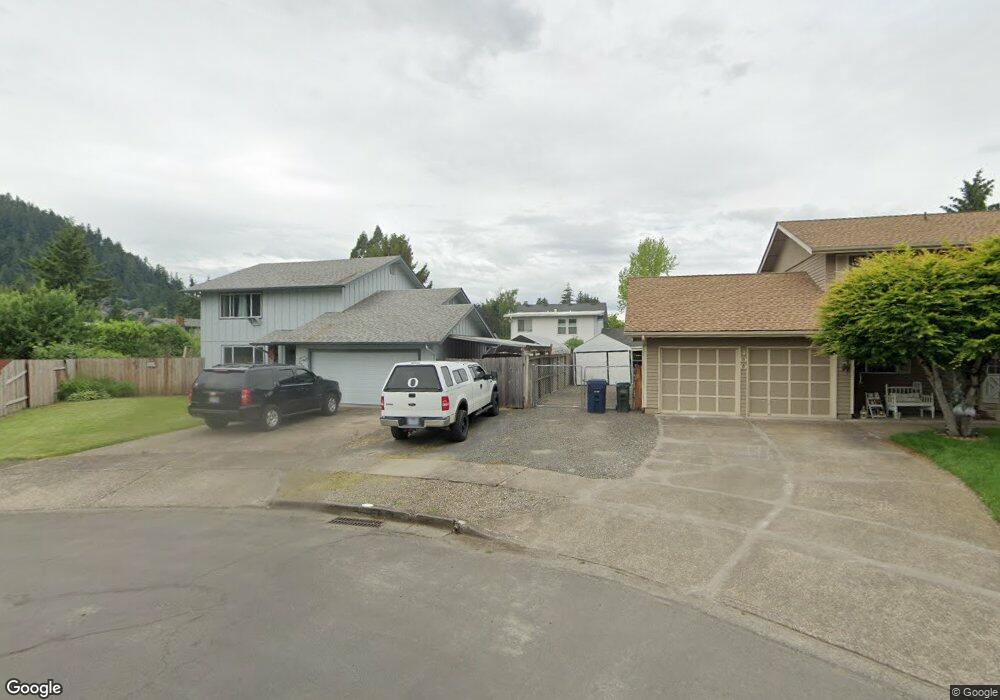
392 67th St Springfield, OR 97478
Thurston NeighborhoodEstimated Value: $456,000 - $492,000
3
Beds
3
Baths
1,833
Sq Ft
$258/Sq Ft
Est. Value
About This Home
This home is located at 392 67th St, Springfield, OR 97478 and is currently estimated at $473,653, approximately $258 per square foot. 392 67th St is a home located in Lane County with nearby schools including Ridgeview Elementary School, Thurston Middle School, and Thurston High School.
Ownership History
Date
Name
Owned For
Owner Type
Purchase Details
Closed on
Apr 13, 2010
Sold by
Holifield Rick H and Holifield Marsha A
Bought by
Reed Kathy A and Reed Thomas L
Current Estimated Value
Home Financials for this Owner
Home Financials are based on the most recent Mortgage that was taken out on this home.
Original Mortgage
$211,105
Outstanding Balance
$143,502
Interest Rate
5.5%
Mortgage Type
FHA
Estimated Equity
$330,151
Purchase Details
Closed on
Sep 22, 2006
Sold by
Holifield Rick H and Holifield Marsha A
Bought by
Holifield Rick H and Holifield Marsha A
Purchase Details
Closed on
Aug 26, 2003
Sold by
Monson Shawn C and Monson Cheryl L
Bought by
Holifield Rick H and Benge Marsha A
Home Financials for this Owner
Home Financials are based on the most recent Mortgage that was taken out on this home.
Original Mortgage
$134,650
Interest Rate
5.6%
Mortgage Type
Stand Alone First
Create a Home Valuation Report for This Property
The Home Valuation Report is an in-depth analysis detailing your home's value as well as a comparison with similar homes in the area
Home Values in the Area
Average Home Value in this Area
Purchase History
| Date | Buyer | Sale Price | Title Company |
|---|---|---|---|
| Reed Kathy A | $215,000 | First American Title | |
| Holifield Rick H | -- | Pacific Northwest Title Of L | |
| Holifield Rick H | $168,350 | Evergreen Land Title Company |
Source: Public Records
Mortgage History
| Date | Status | Borrower | Loan Amount |
|---|---|---|---|
| Open | Reed Kathy A | $211,105 | |
| Previous Owner | Holifield Rick H | $134,650 |
Source: Public Records
Tax History
| Year | Tax Paid | Tax Assessment Tax Assessment Total Assessment is a certain percentage of the fair market value that is determined by local assessors to be the total taxable value of land and additions on the property. | Land | Improvement |
|---|---|---|---|---|
| 2025 | $4,392 | $239,518 | -- | -- |
| 2024 | $4,321 | $232,542 | -- | -- |
| 2023 | $4,321 | $225,769 | $0 | $0 |
| 2022 | $4,002 | $219,194 | $0 | $0 |
| 2021 | $3,930 | $212,810 | $0 | $0 |
| 2020 | $3,815 | $206,612 | $0 | $0 |
| 2019 | $3,701 | $200,595 | $0 | $0 |
| 2018 | $3,488 | $189,081 | $0 | $0 |
| 2017 | $3,354 | $189,081 | $0 | $0 |
| 2016 | $3,284 | $183,574 | $0 | $0 |
| 2015 | $3,190 | $178,227 | $0 | $0 |
| 2014 | $3,142 | $173,036 | $0 | $0 |
Source: Public Records
Map
Nearby Homes
- 250 68th St
- 555 66th St
- 6540 B St
- 6445 B St
- 0 71st St
- 353 71st St
- 6898 Thurston Rd
- 6964 Bluebelle Way
- 6451 Dogwood St
- 320 Mountaingate Dr
- 193 62nd Place
- 6884 Forest Ridge Dr
- 0 Forest Ridge Unit 520732026
- 7080 Thurston Rd Unit 2
- 0 Forest Ridge Dr Unit 637211360
- 0 Omlid Dr Unit 1 706471345
- 0 Omlid Dr Unit 11
- 0 Omlid Dr Unit 27 796722689
- 0 Omlid Dr Unit 26 256458253
- 0 Omlid Dr Unit 10
Your Personal Tour Guide
Ask me questions while you tour the home.