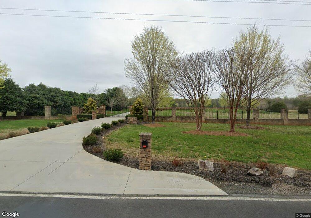
392 Bobbit Rd Advance, NC 27006
Estimated Value: $493,000 - $1,118,000
4
Beds
4
Baths
1,914
Sq Ft
$467/Sq Ft
Est. Value
About This Home
This home is located at 392 Bobbit Rd, Advance, NC 27006 and is currently estimated at $894,368, approximately $467 per square foot. 392 Bobbit Rd is a home located in Davie County with nearby schools including Pinebrook Elementary School, North Davie Middle School, and Davie County High School.
Ownership History
Date
Name
Owned For
Owner Type
Purchase Details
Closed on
Aug 21, 2015
Sold by
Ward Justin Wayne and Ward Jessica Marie
Bought by
Lawson Luke Aaron and Lawson Marla M
Current Estimated Value
Home Financials for this Owner
Home Financials are based on the most recent Mortgage that was taken out on this home.
Original Mortgage
$417,000
Outstanding Balance
$327,857
Interest Rate
4.02%
Mortgage Type
New Conventional
Estimated Equity
$566,511
Purchase Details
Closed on
Nov 12, 2009
Sold by
Reynolds William Noah and Reynolds Brook Elizabeth
Bought by
Bobbitt Farm Llc
Create a Home Valuation Report for This Property
The Home Valuation Report is an in-depth analysis detailing your home's value as well as a comparison with similar homes in the area
Home Values in the Area
Average Home Value in this Area
Purchase History
| Date | Buyer | Sale Price | Title Company |
|---|---|---|---|
| Lawson Luke Aaron | $533,000 | Attorney | |
| Bobbitt Farm Llc | -- | None Available |
Source: Public Records
Mortgage History
| Date | Status | Borrower | Loan Amount |
|---|---|---|---|
| Open | Lawson Luke Aaron | $417,000 |
Source: Public Records
Tax History Compared to Growth
Tax History
| Year | Tax Paid | Tax Assessment Tax Assessment Total Assessment is a certain percentage of the fair market value that is determined by local assessors to be the total taxable value of land and additions on the property. | Land | Improvement |
|---|---|---|---|---|
| 2025 | $2,866 | $416,170 | $0 | $0 |
| 2024 | $2,520 | $326,040 | $0 | $0 |
| 2023 | $2,520 | $326,040 | $0 | $0 |
| 2022 | $1,941 | $251,040 | $0 | $0 |
| 2021 | $1,941 | $251,040 | $0 | $0 |
| 2020 | $2,004 | $257,550 | $0 | $0 |
| 2019 | $2,004 | $257,550 | $0 | $0 |
| 2018 | $2,004 | $257,550 | $0 | $0 |
| 2017 | $4,385 | $570,960 | $0 | $0 |
| 2016 | $4,285 | $557,910 | $0 | $0 |
| 2015 | $4,285 | $557,910 | $0 | $0 |
| 2014 | $1,474 | $223,320 | $0 | $0 |
| 2013 | -- | $223,320 | $0 | $0 |
Source: Public Records
Map
Nearby Homes
- 844 Rainbow Rd
- 0 Mcknight Rd
- 197 Dare Ln
- 1270 Rainbow Rd
- 245 Shallowbrook Dr
- 300 Redland Rd
- 279 Redland Rd
- 271 Redland Rd
- 290 Redland Rd
- Cypress Plan at Redland
- Sullivan Plan at Redland
- Cooper Plan at Redland
- Wescott Plan at Redland
- Avery Plan at Redland
- Davidson Plan at Redland
- 2643 Nc Highway 801 N
- 159 King Arthur Ln
- 113 Longwood Dr
- 182 Woodburn Place
- 134 Baltimore Rd
- 392 Bobbit Rd
- 397 Bobbit Rd
- 365 Bobbit Rd
- 426 Bobbit Rd
- 426 Bobbit Rd
- 316 Bobbit Rd
- 468 Bobbit Rd
- 324 Rhynehardt Rd
- 294 Bobbitt Rd
- 210 Rhynehardt Rd
- 295 Rhynehardt Rd
- 526 Bobbitt Rd
- 228 Bobbitt Rd
- 0 Bobbit Rd
- 000 Bobbit Rd
- 1893 Nc Highway 801 N
- 1657 Nc Highway 801 N
- 190 Bobbit Rd
- 190 Bobbit Rd
- 365 Bobbit Rd