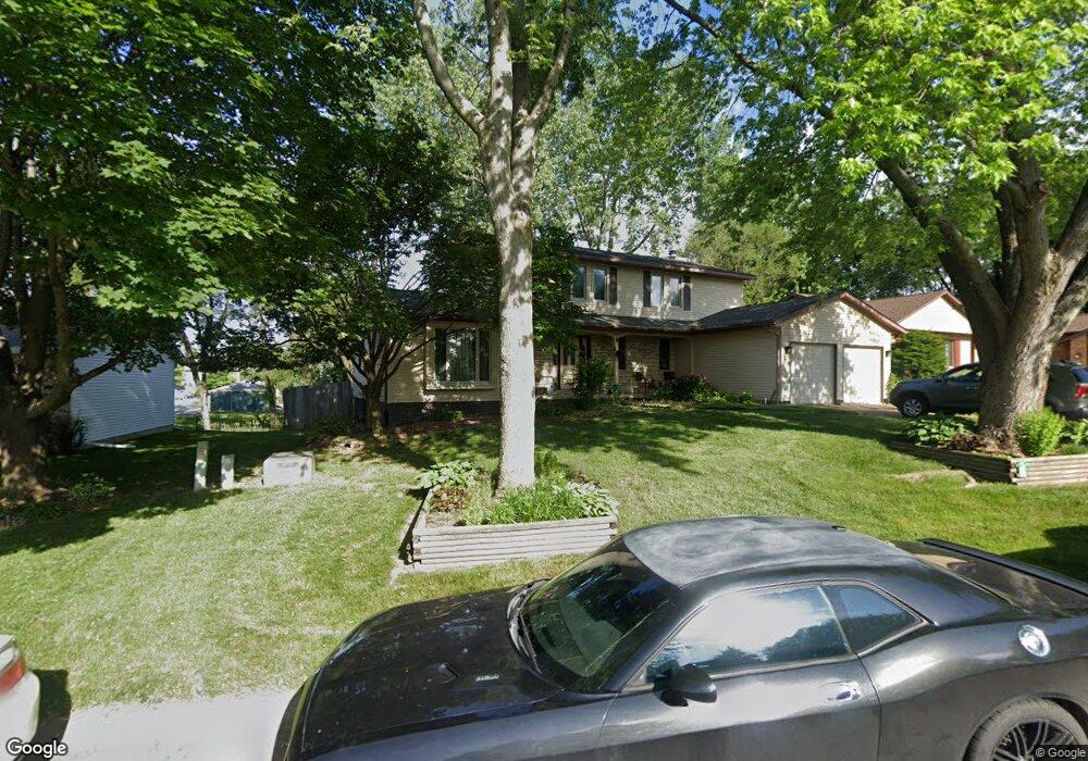
3922 Belle Ave Davenport, IA 52807
North Side NeighborhoodEstimated Value: $332,000 - $366,000
4
Beds
6
Baths
2,238
Sq Ft
$156/Sq Ft
Est. Value
About This Home
This home is located at 3922 Belle Ave, Davenport, IA 52807 and is currently estimated at $348,273, approximately $155 per square foot. 3922 Belle Ave is a home located in Scott County with nearby schools including Jones Park Elementary School, Eisenhower Elementary School, and Casey County Middle School.
Ownership History
Date
Name
Owned For
Owner Type
Purchase Details
Closed on
Mar 26, 2013
Sold by
Specht Philip C and Specht Judith G
Bought by
Specht Philip C and Specht Judith G
Current Estimated Value
Home Financials for this Owner
Home Financials are based on the most recent Mortgage that was taken out on this home.
Original Mortgage
$127,250
Interest Rate
3.48%
Mortgage Type
New Conventional
Create a Home Valuation Report for This Property
The Home Valuation Report is an in-depth analysis detailing your home's value as well as a comparison with similar homes in the area
Home Values in the Area
Average Home Value in this Area
Purchase History
| Date | Buyer | Sale Price | Title Company |
|---|---|---|---|
| Specht Philip C | -- | None Available |
Source: Public Records
Mortgage History
| Date | Status | Borrower | Loan Amount |
|---|---|---|---|
| Closed | Specht Philip C | $127,250 |
Source: Public Records
Tax History Compared to Growth
Tax History
| Year | Tax Paid | Tax Assessment Tax Assessment Total Assessment is a certain percentage of the fair market value that is determined by local assessors to be the total taxable value of land and additions on the property. | Land | Improvement |
|---|---|---|---|---|
| 2025 | $4,678 | $312,260 | $36,380 | $275,880 |
| 2024 | $4,678 | $285,670 | $36,380 | $249,290 |
| 2023 | $5,498 | $285,670 | $36,380 | $249,290 |
| 2022 | $5,522 | $266,270 | $32,100 | $234,170 |
| 2021 | $5,522 | $266,270 | $32,100 | $234,170 |
| 2020 | $5,320 | $253,720 | $32,100 | $221,620 |
| 2019 | $5,220 | $241,180 | $32,100 | $209,080 |
| 2018 | $4,968 | $241,180 | $32,100 | $209,080 |
| 2017 | $1,307 | $234,910 | $32,100 | $202,810 |
| 2016 | $4,634 | $220,270 | $0 | $0 |
| 2015 | $4,634 | $201,700 | $0 | $0 |
| 2014 | $4,286 | $201,700 | $0 | $0 |
| 2013 | $4,208 | $0 | $0 | $0 |
| 2012 | -- | $204,340 | $33,850 | $170,490 |
Source: Public Records
Map
Nearby Homes
- 4324 Spring St
- 4406 Belle Ave
- 4230 Jersey Ridge Rd
- 2203 E 46th St
- 4600 Eastern Ave
- 2506 E 35th Street Ct
- 2321 E 47th St
- 4005 Forest Rd
- 2501 E 34th Street Ct
- 1227 E Kimberly Rd
- 1804 E 31st St
- 3553 Kimberly Downs Rd
- 3044 Jersey Ridge Rd
- 1960 E 50th Ct
- 3315 Fairhaven Rd
- 2403 E 51st St Unit 102E
- 2418 E 51st St Unit A
- 2919 E 44th Ct
- 2805 Carriage Hill Dr
- 2422 E 51st St Unit E
- 3930 Belle Ave
- 3914 Belle Ave
- 4008 Belle Ave
- 3904 Belle Ave
- 2103 New Castle Ct
- 3909 Belle Ave
- 4016 Belle Ave
- 2109 New Castle Ct
- 2109 Newcastle Ct
- 2124 Dorchester Ct
- 2101 Dorchester Ct
- 4104 Belle Ave
- 4011 Belle Ave
- 2103 Dorchester Ct
- 2115 Dorchester Ct
- 2134 Dorchester Ct
- 2115 New Castle Ct
- 2115 Newcastle Ct
- 4116 Belle Ave
- 2123 Dorchester Ct