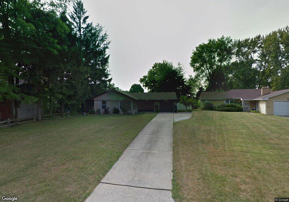
3926 Ayrshire Dr Youngstown, OH 44511
Austintown NeighborhoodEstimated Value: $148,274 - $174,000
3
Beds
1
Bath
1,104
Sq Ft
$150/Sq Ft
Est. Value
About This Home
This home is located at 3926 Ayrshire Dr, Youngstown, OH 44511 and is currently estimated at $166,069, approximately $150 per square foot. 3926 Ayrshire Dr is a home located in Mahoning County with nearby schools including Austintown Elementary School, Austintown Intermediate School, and Austintown Middle School.
Ownership History
Date
Name
Owned For
Owner Type
Purchase Details
Closed on
Jun 25, 2004
Sold by
J B R W Ltd
Bought by
Hunt Anthony A and Hunt Denise M
Current Estimated Value
Home Financials for this Owner
Home Financials are based on the most recent Mortgage that was taken out on this home.
Original Mortgage
$80,750
Interest Rate
6.39%
Mortgage Type
Purchase Money Mortgage
Purchase Details
Closed on
Jun 12, 1998
Sold by
Murdock Katherine and Poulakos Katherine
Bought by
J B R W Ltd
Purchase Details
Closed on
May 14, 1982
Bought by
Poulaskos Katherine
Create a Home Valuation Report for This Property
The Home Valuation Report is an in-depth analysis detailing your home's value as well as a comparison with similar homes in the area
Home Values in the Area
Average Home Value in this Area
Purchase History
| Date | Buyer | Sale Price | Title Company |
|---|---|---|---|
| Hunt Anthony A | $85,000 | -- | |
| J B R W Ltd | $78,000 | -- | |
| Poulaskos Katherine | -- | -- |
Source: Public Records
Mortgage History
| Date | Status | Borrower | Loan Amount |
|---|---|---|---|
| Previous Owner | Hunt Anthony A | $80,750 |
Source: Public Records
Tax History Compared to Growth
Tax History
| Year | Tax Paid | Tax Assessment Tax Assessment Total Assessment is a certain percentage of the fair market value that is determined by local assessors to be the total taxable value of land and additions on the property. | Land | Improvement |
|---|---|---|---|---|
| 2024 | $1,699 | $36,240 | $7,800 | $28,440 |
| 2023 | $1,673 | $36,240 | $7,800 | $28,440 |
| 2022 | $1,630 | $28,280 | $6,670 | $21,610 |
| 2021 | $1,630 | $28,280 | $6,670 | $21,610 |
| 2020 | $1,637 | $28,280 | $6,670 | $21,610 |
| 2019 | $1,606 | $25,260 | $5,960 | $19,300 |
| 2018 | $1,548 | $25,260 | $5,960 | $19,300 |
| 2017 | $1,545 | $25,260 | $5,960 | $19,300 |
| 2016 | $1,571 | $25,430 | $6,240 | $19,190 |
| 2015 | $1,524 | $25,430 | $6,240 | $19,190 |
| 2014 | $1,532 | $25,430 | $6,240 | $19,190 |
| 2013 | $1,517 | $25,430 | $6,240 | $19,190 |
Source: Public Records
Map
Nearby Homes
- 3890 Ayrshire Dr
- 3852 Edinburgh Dr
- 4235 Patricia Ave
- 3913 Claridge Dr
- 4241 Wedgewood Dr
- 2430 Redgate Ln
- 4102 Burkey Rd
- 3972 Artmar Dr
- 1560 S Meridian Rd
- 4314 Kerrybrook Dr
- 4262 Pembrook Rd
- 4289 Wedgewood Dr
- 532 Westgate Blvd
- 2500 Redgate Ln
- 4234 Burkey Rd
- 2699 Hamman Dr
- 3210 Quentin Dr
- 2108 Cranbrook Dr
- 40 Woodleigh Ct
- 3811 Artmar Dr
- 3932 Ayrshire Dr
- 3920 Ayrshire Dr
- 3960 Edinburgh Dr
- 3954 Edinburgh Dr
- 3966 Edinburgh Dr
- 3914 Ayrshire Dr
- 3907 Ayrshire Dr
- 3975 Edinburgh Dr
- 3944 Ayrshire Dr
- 3908 Ayrshire Dr
- 3901 Ayrshire Dr
- 3929 Ayrshire Dr
- 3978 Edinburgh Dr
- 3902 Ayrshire Dr
- 3935 Ayrshire Dr
- 3925 New Rd
- 3913 New Rd
- 3931 New Rd
- 3895 Ayrshire Dr
- 3907 New Rd