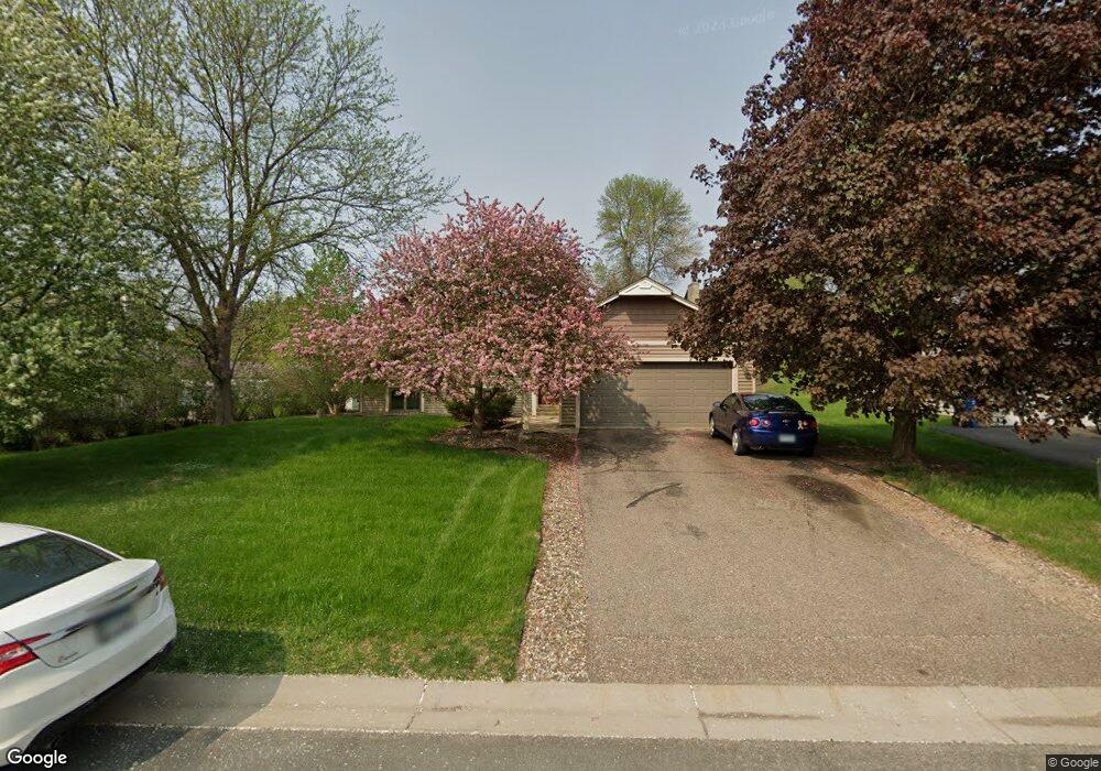
3926 Canter Glen Dr Saint Paul, MN 55123
Estimated Value: $428,000 - $459,000
3
Beds
2
Baths
1,270
Sq Ft
$351/Sq Ft
Est. Value
About This Home
This home is located at 3926 Canter Glen Dr, Saint Paul, MN 55123 and is currently estimated at $445,937, approximately $351 per square foot. 3926 Canter Glen Dr is a home located in Dakota County with nearby schools including Woodland Elementary School, Dakota Hills Middle School, and Eagan Senior High School.
Ownership History
Date
Name
Owned For
Owner Type
Purchase Details
Closed on
Jul 22, 2004
Sold by
Redpath Scott A and Redpath Andria S
Bought by
Redlin Marcus C and Redlin Karen
Current Estimated Value
Purchase Details
Closed on
Jun 28, 2002
Sold by
King Judith R
Bought by
Redpath Scott A and Redpath Andria S
Purchase Details
Closed on
Sep 12, 1999
Sold by
West Jon and West Tracey
Bought by
King Judith R
Create a Home Valuation Report for This Property
The Home Valuation Report is an in-depth analysis detailing your home's value as well as a comparison with similar homes in the area
Home Values in the Area
Average Home Value in this Area
Purchase History
| Date | Buyer | Sale Price | Title Company |
|---|---|---|---|
| Redlin Marcus C | $285,000 | -- | |
| Redpath Scott A | $236,500 | -- | |
| King Judith R | $185,000 | -- |
Source: Public Records
Tax History Compared to Growth
Tax History
| Year | Tax Paid | Tax Assessment Tax Assessment Total Assessment is a certain percentage of the fair market value that is determined by local assessors to be the total taxable value of land and additions on the property. | Land | Improvement |
|---|---|---|---|---|
| 2024 | $4,392 | $422,900 | $122,000 | $300,900 |
| 2023 | $4,392 | $404,900 | $122,400 | $282,500 |
| 2022 | $3,940 | $392,000 | $122,000 | $270,000 |
| 2021 | $3,742 | $354,300 | $106,100 | $248,200 |
| 2020 | $3,716 | $330,000 | $101,100 | $228,900 |
| 2019 | $3,581 | $319,800 | $96,200 | $223,600 |
| 2018 | $3,163 | $324,500 | $91,700 | $232,800 |
| 2017 | $3,110 | $281,100 | $87,300 | $193,800 |
| 2016 | $3,158 | $265,100 | $83,100 | $182,000 |
| 2015 | $3,019 | $247,032 | $78,713 | $168,319 |
| 2014 | -- | $239,402 | $76,311 | $163,091 |
| 2013 | -- | $207,792 | $67,847 | $139,945 |
Source: Public Records
Map
Nearby Homes
- 3902 Canter Glen Dr
- 785 Canter Glen Cir
- 4080 Camberwell Dr N
- 4027 Camberwell Dr N
- 711 Stonebridge Cir
- 4001 Haven Woods Ct
- 3998 Haven Woods Ct
- 680 Brockton Curve
- 3806 Bridgewater Dr
- 826 Hidden Meadow Trail
- 790 Summerbrooke Ct
- 782 Summerbrooke Ct
- 4125 Pennsylvania Ave
- 4358 Yorktown Dr
- 591 Autumn Oaks Ct
- 593 Coventry Pkwy
- 791 Sunset Dr
- 4274 Maclaren Place
- 3726 Wescott Hills Dr
- 3675 Woodland Trail
- 3922 Canter Glen Dr
- 3930 Canter Glen Dr
- 760 Windmill Ct
- 757 Windmill Ct
- 3918 Canter Glen Dr
- 3935 Canter Glen Dr
- 3931 Canter Glen Dr
- 756 Windmill Ct
- 3914 Canter Glen Dr
- 753 Windmill Ct
- 3927 Canter Glen Dr
- 743 Cheshire Ct
- 3923 Canter Glen Dr
- 750 Cheshire Ct
- 3910 Canter Glen Dr
- 749 Windmill Ct
- 3919 Canter Glen Dr
- 739 Cheshire Ct
- 752 Windmill Ct
- 748 Havenhill Rd